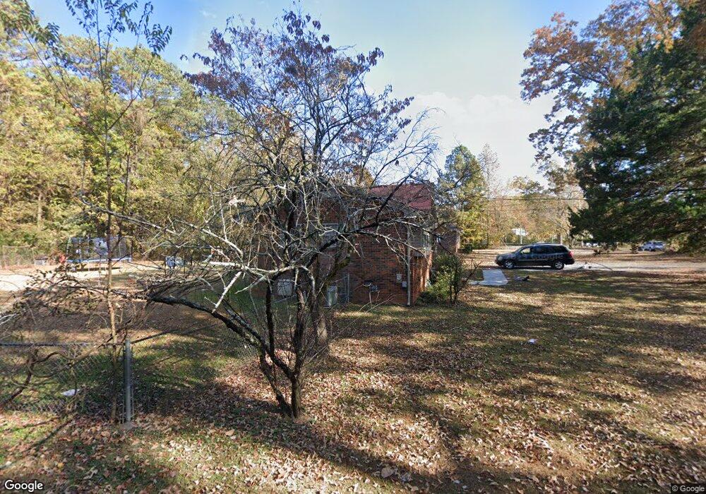
632 Peters St Calhoun, GA 30701
Estimated Value: $145,000
3
Beds
1
Bath
1,332
Sq Ft
$109/Sq Ft
Est. Value
About This Home
This home is located at 632 Peters St, Calhoun, GA 30701 and is currently priced at $145,000, approximately $108 per square foot. 632 Peters St is a home located in Gordon County with nearby schools including Calhoun Primary School, Calhoun Elementary School, and Calhoun Middle School.
Ownership History
Date
Name
Owned For
Owner Type
Purchase Details
Closed on
Apr 1, 2013
Sold by
Woodring Daren
Bought by
Craig Richard and Craig Sue
Current Estimated Value
Purchase Details
Closed on
Mar 24, 2006
Sold by
Hyde Susan
Bought by
Woodring Daren and Woodring Holly
Home Financials for this Owner
Home Financials are based on the most recent Mortgage that was taken out on this home.
Original Mortgage
$94,500
Interest Rate
6.23%
Mortgage Type
New Conventional
Purchase Details
Closed on
Nov 10, 2005
Sold by
Anderson James Rex
Bought by
Hyde Susan
Purchase Details
Closed on
Sep 18, 2001
Sold by
Johnson Howard
Bought by
Anderson James Rex and Hilda Lou Ann
Purchase Details
Closed on
Dec 1, 1992
Bought by
Johnson Howard
Create a Home Valuation Report for This Property
The Home Valuation Report is an in-depth analysis detailing your home's value as well as a comparison with similar homes in the area
Home Values in the Area
Average Home Value in this Area
Purchase History
| Date | Buyer | Sale Price | Title Company |
|---|---|---|---|
| Craig Richard | -- | -- | |
| Woodring Daren | $105,000 | -- | |
| Hyde Susan | $100,000 | -- | |
| Anderson James Rex | $42,500 | -- | |
| Johnson Howard | $41,000 | -- |
Source: Public Records
Mortgage History
| Date | Status | Borrower | Loan Amount |
|---|---|---|---|
| Previous Owner | Woodring Daren | $94,500 |
Source: Public Records
Tax History Compared to Growth
Tax History
| Year | Tax Paid | Tax Assessment Tax Assessment Total Assessment is a certain percentage of the fair market value that is determined by local assessors to be the total taxable value of land and additions on the property. | Land | Improvement |
|---|---|---|---|---|
| 2021 | $911 | $31,780 | $5,040 | $26,740 |
| 2020 | $923 | $32,220 | $5,040 | $27,180 |
| 2019 | $928 | $32,220 | $5,040 | $27,180 |
| 2018 | $874 | $30,344 | $5,040 | $25,304 |
| 2017 | $858 | $28,944 | $5,040 | $23,904 |
| 2016 | $860 | $28,944 | $5,040 | $23,904 |
| 2015 | $844 | $28,144 | $5,040 | $23,104 |
| 2014 | $792 | $27,214 | $5,040 | $22,174 |
Source: Public Records
Map
Nearby Homes
- 111 Lewis Dr SE
- 306 E Belmont Dr
- 102 Sylvania Cir
- 00 Curtis Cir
- 0 Lovers Lane Rd SE Unit 10509663
- 0 Curtis Cir SE Unit 10611011
- 0 Curtis Cir SE Unit 7654260
- 201 Porch Loop SE
- 220 Porch Loop SE
- 0 Richardson Rd SE Unit 10474273
- 0 Richardson Rd SE Unit 7537183
- 199 Cherry St SE
- 1311 Us Highway 41
- 1401 U S 41
- The Alston Plan at Salacoa - The Overlook at Salacoa
- The Hartwell Plan at Salacoa - The Overlook at Salacoa
- The Perry Plan at Salacoa - The Overlook at Salacoa
- The Dalton Plan at Salacoa - The Overlook at Salacoa
- The Springfield Plan at Salacoa - The Overlook at Salacoa
- The Dexter Plan at Salacoa - The Overlook at Salacoa
- 634 Peters St
- 630 Peters St
- 633 Peters St
- 631 Peters St
- 204 Kirk Dr
- 1195 Curtis Pkwy SE
- 629 Peters St Unit D
- 629 Peters St
- 629 Peters St Unit A
- 629 Peters St Unit C
- 628 Peters St
- 1201 Curtis Pkwy SE
- 102 Lewis Dr
- 104 Lewis Dr
- 104 Lewis Dr
- 627 Peters St
- 201 Kirk Dr
- 626 Peters St
- 106 Lewis Dr
- 1015 Curtis Pkwy SE