632 Pheasant Ridge Rd Lewisburg, PA 17837
East Buffalo Township NeighborhoodEstimated Value: $305,000 - $429,000
3
Beds
1
Bath
1,734
Sq Ft
$209/Sq Ft
Est. Value
About This Home
This home is located at 632 Pheasant Ridge Rd, Lewisburg, PA 17837 and is currently estimated at $362,167, approximately $208 per square foot. 632 Pheasant Ridge Rd is a home located in Union County with nearby schools including Kelly Elementary School, Linntown Elementary School, and Donald H. Eichhorn Middle School.
Ownership History
Date
Name
Owned For
Owner Type
Purchase Details
Closed on
Jun 10, 2015
Sold by
Prowant Thomas J and Lewis Nicole E
Bought by
Prowant Thomas J
Current Estimated Value
Home Financials for this Owner
Home Financials are based on the most recent Mortgage that was taken out on this home.
Original Mortgage
$97,000
Interest Rate
3.78%
Mortgage Type
New Conventional
Create a Home Valuation Report for This Property
The Home Valuation Report is an in-depth analysis detailing your home's value as well as a comparison with similar homes in the area
Home Values in the Area
Average Home Value in this Area
Purchase History
| Date | Buyer | Sale Price | Title Company |
|---|---|---|---|
| Prowant Thomas J | -- | Attorney |
Source: Public Records
Mortgage History
| Date | Status | Borrower | Loan Amount |
|---|---|---|---|
| Closed | Prowant Thomas J | $97,000 |
Source: Public Records
Tax History Compared to Growth
Tax History
| Year | Tax Paid | Tax Assessment Tax Assessment Total Assessment is a certain percentage of the fair market value that is determined by local assessors to be the total taxable value of land and additions on the property. | Land | Improvement |
|---|---|---|---|---|
| 2025 | $4,711 | $160,500 | $40,100 | $120,400 |
| 2024 | $4,584 | $160,500 | $40,100 | $120,400 |
| 2023 | $4,446 | $160,500 | $40,100 | $120,400 |
| 2022 | $4,438 | $160,500 | $40,100 | $120,400 |
| 2021 | $4,457 | $160,500 | $40,100 | $120,400 |
| 2020 | $4,460 | $160,500 | $40,100 | $120,400 |
| 2019 | $44,940 | $160,500 | $40,100 | $120,400 |
| 2018 | $4,433 | $160,500 | $40,100 | $120,400 |
| 2017 | $4,433 | $160,500 | $40,100 | $120,400 |
| 2016 | $4,264 | $160,500 | $40,100 | $120,400 |
| 2015 | -- | $160,500 | $40,100 | $120,400 |
| 2014 | -- | $160,500 | $40,100 | $120,400 |
Source: Public Records
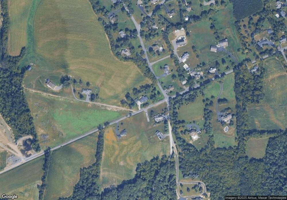
Map
Nearby Homes
- 223 Country Rd
- 96 Dogwood Ln
- 211 James Rd
- 300 Sunnyside Dr
- 2935 Smoketown Rd
- LOT 3 Smoketown Rd
- 137 Valley View Rd
- 36 Classic Hills Dr
- 85 Poplar Rd
- 2111 Madison Ave
- 407 S 20th St
- 169 Windsor Way
- 217 Hardscrabble Ln
- 237 Hardscrabble Ln
- 332 Fairview Dr
- 84 Windsor Way
- 114 Windsor Way
- 692 Beagle Club Rd
- 70 Lowe St
- 688 Beagle Club Rd
- 625 Pheasant Ridge Rd
- 578 Pheasant Ridge Rd
- 50 Country Rd
- 50 Turtle Creek Rd
- 769 Pheasant Ridge Rd
- 548 Pheasant Ridge Rd
- 100 Country Rd
- 113 Country Rd
- 520 Pheasant Ridge Rd
- 55 Turtle Creek Rd
- 654 Pheasant Ridge Rd
- 78 Country Rd
- 74 Country Rd
- 147 Country Rd
- 595 Country Rd
- 490 Pheasant Ridge Rd
- 479 Pheasant Ridge Rd
- LOT 4 Country Rd
- LOT 17 Country Rd
- 193 Country Rd