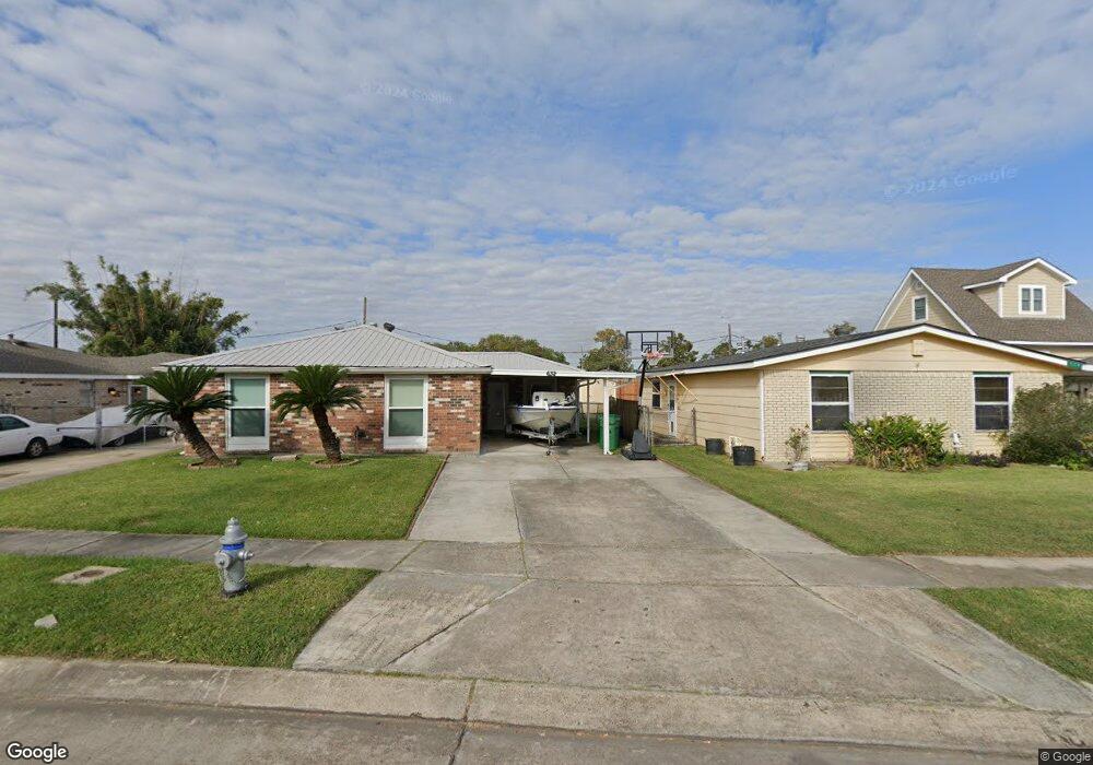
632 Phyllis Dr Westwego, LA 70094
Westbank NeighborhoodEstimated Value: $114,451 - $163,000
3
Beds
2
Baths
1,213
Sq Ft
$121/Sq Ft
Est. Value
About This Home
This home is located at 632 Phyllis Dr, Westwego, LA 70094 and is currently estimated at $147,363, approximately $121 per square foot. 632 Phyllis Dr is a home located in Jefferson Parish with nearby schools including Emmett Gilbert School of Excellence at Ford, Ray St. Pierre Academy for Advanced Studies, and L.W. Higgins High School.
Ownership History
Date
Name
Owned For
Owner Type
Purchase Details
Closed on
Sep 30, 2011
Sold by
Federal National Mortgage Association
Bought by
Tran Phu D
Current Estimated Value
Purchase Details
Closed on
Sep 6, 2011
Sold by
Bank Of America Na
Bought by
Federal Natl Mtg Association
Purchase Details
Closed on
Jul 20, 2011
Sold by
Normand Sheriff Newell D and Tran Anh D
Bought by
Bac Home Loans Servicing Lp
Create a Home Valuation Report for This Property
The Home Valuation Report is an in-depth analysis detailing your home's value as well as a comparison with similar homes in the area
Home Values in the Area
Average Home Value in this Area
Purchase History
| Date | Buyer | Sale Price | Title Company |
|---|---|---|---|
| Tran Phu D | $40,000 | -- | |
| Federal Natl Mtg Association | $73,697 | -- | |
| Bac Home Loans Servicing Lp | $53,334 | -- |
Source: Public Records
Tax History Compared to Growth
Tax History
| Year | Tax Paid | Tax Assessment Tax Assessment Total Assessment is a certain percentage of the fair market value that is determined by local assessors to be the total taxable value of land and additions on the property. | Land | Improvement |
|---|---|---|---|---|
| 2024 | $195 | $8,550 | $2,410 | $6,140 |
| 2023 | $86 | $8,130 | $2,410 | $5,720 |
| 2022 | $1,088 | $8,130 | $2,410 | $5,720 |
| 2021 | $1,028 | $8,130 | $2,410 | $5,720 |
| 2020 | $1,021 | $8,130 | $2,410 | $5,720 |
| 2019 | $1,055 | $8,130 | $2,410 | $5,720 |
| 2018 | $77 | $8,130 | $2,410 | $5,720 |
| 2017 | $952 | $8,130 | $2,410 | $5,720 |
| 2016 | $936 | $8,130 | $2,410 | $5,720 |
| 2015 | $73 | $8,130 | $2,410 | $5,720 |
| 2014 | $73 | $8,130 | $2,410 | $5,720 |
Source: Public Records
Map
Nearby Homes
- 628 Phyllis Dr
- 636 Phyllis Dr
- 640 Phyllis Dr
- 624 Phyllis Dr
- 629 S Jamie Blvd
- 644 Phyllis Dr
- 620 Phyllis Dr
- 633 Phyllis Dr
- 637 Phyllis Dr
- 629 Phyllis Dr
- 633 S Jamie Blvd
- 641 S Jamie Blvd
- 625 S Jamie Blvd
- 637 S Jamie Blvd
- 625 Phyllis Dr
- 641 Phyllis Dr
- 648 Phyllis Dr
- 616 Phyllis Dr
- 621 Phyllis Dr
- 621 S Jamie Blvd