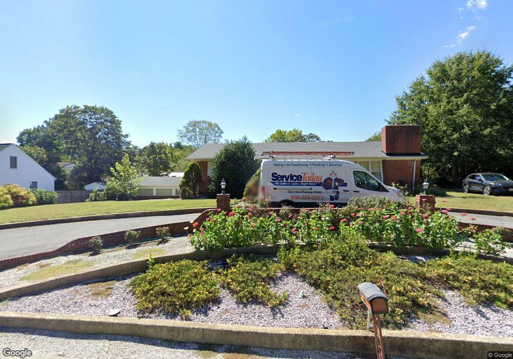
632 Pine Bluff Rd Salisbury, MD 21801
South Salisbury NeighborhoodEstimated Value: $340,000 - $531,000
4
Beds
3
Baths
3,783
Sq Ft
$110/Sq Ft
Est. Value
About This Home
This home is located at 632 Pine Bluff Rd, Salisbury, MD 21801 and is currently estimated at $414,987, approximately $109 per square foot. 632 Pine Bluff Rd is a home located in Wicomico County with nearby schools including Pinehurst Elementary School, Bennett Middle School, and James M. Bennett High School.
Ownership History
Date
Name
Owned For
Owner Type
Purchase Details
Closed on
Feb 2, 2007
Sold by
Houston Frances B
Bought by
Cronan John H
Current Estimated Value
Purchase Details
Closed on
Jan 26, 2007
Sold by
Houston Frances B
Bought by
Cronan John H
Purchase Details
Closed on
Jul 14, 2004
Sold by
Larger Nelson N Int
Bought by
Houston Frances B
Purchase Details
Closed on
Aug 29, 2003
Sold by
Anderton E Carl L E and Anderton T
Bought by
Larger Nelson N Int and Larger Int Virginia R
Purchase Details
Closed on
Apr 7, 1998
Sold by
Anderton E Carl E and Anderton Julia R
Bought by
Anderton E Carl L E and Anderton T
Create a Home Valuation Report for This Property
The Home Valuation Report is an in-depth analysis detailing your home's value as well as a comparison with similar homes in the area
Home Values in the Area
Average Home Value in this Area
Purchase History
| Date | Buyer | Sale Price | Title Company |
|---|---|---|---|
| Cronan John H | -- | -- | |
| Cronan John H | -- | -- | |
| Houston Frances B | $225,000 | -- | |
| Larger Nelson N Int | $209,900 | -- | |
| Anderton E Carl L E | -- | -- |
Source: Public Records
Mortgage History
| Date | Status | Borrower | Loan Amount |
|---|---|---|---|
| Closed | Houston Frances B | -- |
Source: Public Records
Tax History
| Year | Tax Paid | Tax Assessment Tax Assessment Total Assessment is a certain percentage of the fair market value that is determined by local assessors to be the total taxable value of land and additions on the property. | Land | Improvement |
|---|---|---|---|---|
| 2025 | $2,419 | $264,700 | $0 | $0 |
| 2024 | $2,411 | $251,500 | $69,200 | $182,300 |
| 2023 | $2,339 | $234,533 | $0 | $0 |
| 2022 | $2,217 | $217,567 | $0 | $0 |
| 2021 | $1,066 | $200,600 | $69,200 | $131,400 |
| 2020 | $2,064 | $200,100 | $0 | $0 |
| 2019 | $2,089 | $199,600 | $0 | $0 |
| 2018 | $2,094 | $199,100 | $69,200 | $129,900 |
| 2017 | $2,056 | $195,433 | $0 | $0 |
| 2016 | -- | $191,767 | $0 | $0 |
| 2015 | $2,138 | $188,100 | $0 | $0 |
| 2014 | $2,138 | $188,100 | $0 | $0 |
Source: Public Records
Map
Nearby Homes
- 1124 Riverside Dr
- 5464 Cherry Hill Ln
- 516 Indian Ln
- 1708 Lower Millstone Ln
- 1105 Riverside Dr
- Lot 12 Holly Hill Ct
- 1408 Allenwood Dr
- 129 Holly Hill Ct
- 28272 Riverside Dr
- 709 Grason Ln
- 502 Indian Ln
- 1410 Bell Island Trail
- 518 Clyde Ave
- 528 W College Ave
- 820, 824 & 828 Shad Point Rd
- 409 Rolling Rd
- 512 Sheldon Ave
- 502 Clyde Ave
- 1704 Camden Ave
- 608 W Main St
- 1501 Riverside Dr
- 630 Pine Bluff Rd
- 615 Irene Ave
- 1405 Riverside Dr
- 613 Irene Ave
- 628 Pine Bluff Rd
- 1507 Riverside Dr
- 614 Irene Ave
- 1500 Riverside Dr
- 627 Pine Bluff Rd
- 611 Irene Ave
- 1406 Riverside Dr
- 1403 Riverside Dr
- 626 Pine Bluff Rd
- 612 Irene Ave
- 1404 Riverside Dr
- 1509 Riverside Dr
- 1536 Woodland Rd
- 621 Pine Bluff Rd
- 610 Irene Ave
Your Personal Tour Guide
Ask me questions while you tour the home.