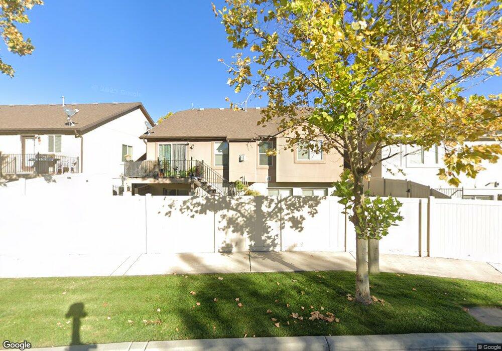
632 S 1870 W Unit 27 Orem, UT 84059
Sunset Heights NeighborhoodEstimated Value: $562,725 - $592,000
5
Beds
3
Baths
2,849
Sq Ft
$204/Sq Ft
Est. Value
About This Home
This home is located at 632 S 1870 W Unit 27, Orem, UT 84059 and is currently estimated at $581,575, approximately $204 per square foot. 632 S 1870 W Unit 27 is a home located in Utah County with nearby schools including Vineyard Elementary School, Lakeridge Jr High School, and Mountain View High School.
Ownership History
Date
Name
Owned For
Owner Type
Purchase Details
Closed on
Nov 15, 2013
Sold by
Card Velma Diane
Bought by
Leung Chi Keung Jackie and Cheng Alisa Meiyuk
Current Estimated Value
Purchase Details
Closed on
Oct 7, 2010
Sold by
Sf North Land Llc
Bought by
Card Velma Diane
Home Financials for this Owner
Home Financials are based on the most recent Mortgage that was taken out on this home.
Original Mortgage
$171,000
Interest Rate
4.28%
Mortgage Type
New Conventional
Purchase Details
Closed on
Nov 25, 2009
Sold by
Sleepy Ridge Development Inc
Bought by
Sf North Land Llc
Home Financials for this Owner
Home Financials are based on the most recent Mortgage that was taken out on this home.
Original Mortgage
$177,250
Interest Rate
4.99%
Mortgage Type
Purchase Money Mortgage
Create a Home Valuation Report for This Property
The Home Valuation Report is an in-depth analysis detailing your home's value as well as a comparison with similar homes in the area
Home Values in the Area
Average Home Value in this Area
Purchase History
| Date | Buyer | Sale Price | Title Company |
|---|---|---|---|
| Leung Chi Keung Jackie | -- | Access Title Co | |
| Card Velma Diane | -- | Affiliated First Title Comp | |
| Sf North Land Llc | -- | Affiliated First Title Comp |
Source: Public Records
Mortgage History
| Date | Status | Borrower | Loan Amount |
|---|---|---|---|
| Previous Owner | Card Velma Diane | $171,000 | |
| Previous Owner | Sf North Land Llc | $177,250 |
Source: Public Records
Tax History
| Year | Tax Paid | Tax Assessment Tax Assessment Total Assessment is a certain percentage of the fair market value that is determined by local assessors to be the total taxable value of land and additions on the property. | Land | Improvement |
|---|---|---|---|---|
| 2025 | $2,320 | $267,355 | -- | -- |
| 2024 | $2,320 | $283,690 | $0 | $0 |
| 2023 | $2,239 | $294,305 | $0 | $0 |
| 2022 | $2,257 | $287,375 | $0 | $0 |
| 2021 | $2,052 | $395,800 | $100,000 | $295,800 |
| 2020 | $1,934 | $366,500 | $100,000 | $266,500 |
| 2019 | $1,688 | $332,600 | $100,000 | $232,600 |
| 2018 | $1,766 | $332,600 | $100,000 | $232,600 |
| 2017 | $1,786 | $180,180 | $0 | $0 |
| 2016 | $1,566 | $145,640 | $0 | $0 |
| 2015 | $1,595 | $140,360 | $0 | $0 |
| 2014 | $1,457 | $127,600 | $0 | $0 |
Source: Public Records
Map
Nearby Homes
- 1863 W 645 S
- 713 S 1803 W
- 1813 W 795 S Unit 231
- 583 E Parker Place
- 1963 W Golden Pond Way
- 1618 W 860 S
- 338 S Holdaway Rd
- 894 S 2100 W
- 937 S 1635 W
- 1463 W 730 S
- 943 S 2150 W
- 167 E Lake View Dr
- 1431 W 650 S
- 344 S Tahoe St
- 198 E Zinfandel Ln
- 481 S Main St Unit Lot 139
- 2 W Stillwater St Unit 144
- 3 W Stillwater St Unit 161
- 441 S Main St Unit 135
- 71 E Powell St Unit 106
- 632 S 1870 W
- 634 S 1870 W Unit 28
- 634 S 1870 W
- 624 S 1870 W Unit 26
- 624 S 1870 W
- 618 S 1870 W
- 635 S 1870 W Unit 42
- 635 S 1870 W
- 627 S 1870 W Unit 41
- 637 S 1870 W Unit 29
- 637 S 1870 W
- 608 S 1870 W Unit 24
- 608 S 1870 W
- 619 S 1870 W
- 615 S 1870 W
- 602 S 1870 W Unit 23
- 617 S 1920 W
- 627 S 1920 W
- 627 S 1920 W Unit 49
- 1848 W 645 S Unit 30
Your Personal Tour Guide
Ask me questions while you tour the home.