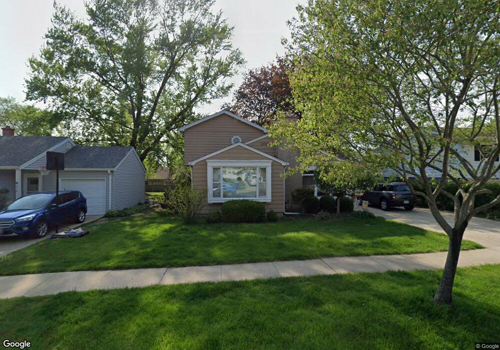
632 S 1st St West Dundee, IL 60118
Estimated Value: $362,565 - $390,000
5
Beds
--
Bath
1,726
Sq Ft
$219/Sq Ft
Est. Value
About This Home
This home is located at 632 S 1st St, West Dundee, IL 60118 and is currently estimated at $377,141, approximately $218 per square foot. 632 S 1st St is a home located in Kane County with nearby schools including Dundee Highlands Elementary School, Dundee Middle School, and Dundee-Crown High School.
Ownership History
Date
Name
Owned For
Owner Type
Purchase Details
Closed on
Dec 28, 2005
Sold by
Benton Christy A
Bought by
Pahde Stephen L and Pahde Diane M
Current Estimated Value
Home Financials for this Owner
Home Financials are based on the most recent Mortgage that was taken out on this home.
Original Mortgage
$190,000
Outstanding Balance
$107,236
Interest Rate
6.34%
Mortgage Type
Fannie Mae Freddie Mac
Estimated Equity
$269,905
Create a Home Valuation Report for This Property
The Home Valuation Report is an in-depth analysis detailing your home's value as well as a comparison with similar homes in the area
Home Values in the Area
Average Home Value in this Area
Purchase History
| Date | Buyer | Sale Price | Title Company |
|---|---|---|---|
| Pahde Stephen L | $265,000 | None Available |
Source: Public Records
Mortgage History
| Date | Status | Borrower | Loan Amount |
|---|---|---|---|
| Open | Pahde Stephen L | $190,000 |
Source: Public Records
Tax History Compared to Growth
Tax History
| Year | Tax Paid | Tax Assessment Tax Assessment Total Assessment is a certain percentage of the fair market value that is determined by local assessors to be the total taxable value of land and additions on the property. | Land | Improvement |
|---|---|---|---|---|
| 2024 | $7,456 | $107,476 | $19,631 | $87,845 |
| 2023 | $6,906 | $96,703 | $17,663 | $79,040 |
| 2022 | $6,789 | $88,059 | $17,663 | $70,396 |
| 2021 | $6,519 | $83,145 | $16,677 | $66,468 |
| 2020 | $6,385 | $81,276 | $16,302 | $64,974 |
| 2019 | $6,615 | $77,156 | $15,476 | $61,680 |
| 2018 | $6,383 | $72,931 | $15,170 | $57,761 |
| 2017 | $6,070 | $68,224 | $14,191 | $54,033 |
| 2016 | $6,183 | $66,057 | $13,740 | $52,317 |
| 2015 | -- | $59,872 | $17,765 | $42,107 |
| 2014 | -- | $58,218 | $17,274 | $40,944 |
| 2013 | -- | $65,101 | $17,803 | $47,298 |
Source: Public Records
Map
Nearby Homes
- 516 S 1st St
- Lot 1 View St
- 505 S 3rd St
- 560 S 5th St
- 0000 Strom Dr
- 93 Liberty St
- 512 Lisa Rd
- 112 Liberty St
- 1042 Chateau Bluff Ln
- 849 Hemlock Dr
- 709 Timothy Ct Unit 171
- 7 King William St
- 436 Barrington Ave
- 519 Oak Dr
- 152 King Ave
- 4 Summit St
- 510 N Van Buren St
- 432 Illinois St
- 152 Aberdeen Dr
- 10 Chateau Dr