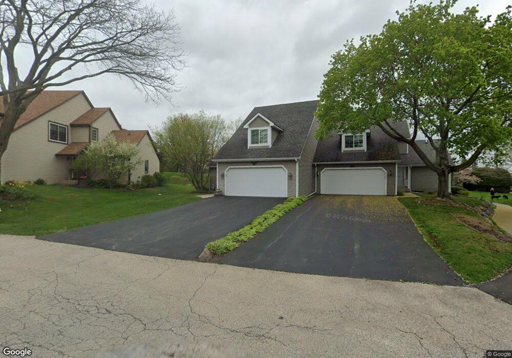
632 Wilbur Ct Gurnee, IL 60031
Estimated Value: $267,000 - $322,769
2
Beds
2
Baths
1,646
Sq Ft
$181/Sq Ft
Est. Value
About This Home
This home is located at 632 Wilbur Ct, Gurnee, IL 60031 and is currently estimated at $298,692, approximately $181 per square foot. 632 Wilbur Ct is a home located in Lake County with nearby schools including Woodland Primary School, Woodland Elementary School, and Woodland Intermediate School.
Ownership History
Date
Name
Owned For
Owner Type
Purchase Details
Closed on
Sep 18, 2024
Sold by
Schwall Edward J
Bought by
Edward J Schwall Trust and Schwall
Current Estimated Value
Purchase Details
Closed on
Aug 4, 2011
Sold by
Federal Home Loan Mortgage Corporation
Bought by
Schwall Edward J
Purchase Details
Closed on
Jun 3, 2011
Sold by
Provident Funding Associates Lp
Bought by
Federal Home Loan Mortgage Corp
Purchase Details
Closed on
Jan 28, 2011
Sold by
Pritchard John F
Bought by
Provident Funding Associates Lp
Create a Home Valuation Report for This Property
The Home Valuation Report is an in-depth analysis detailing your home's value as well as a comparison with similar homes in the area
Home Values in the Area
Average Home Value in this Area
Purchase History
| Date | Buyer | Sale Price | Title Company |
|---|---|---|---|
| Edward J Schwall Trust | -- | None Listed On Document | |
| Schwall Edward J | $100,500 | None Available | |
| Federal Home Loan Mortgage Corp | -- | None Available | |
| Provident Funding Associates Lp | -- | None Available |
Source: Public Records
Tax History Compared to Growth
Tax History
| Year | Tax Paid | Tax Assessment Tax Assessment Total Assessment is a certain percentage of the fair market value that is determined by local assessors to be the total taxable value of land and additions on the property. | Land | Improvement |
|---|---|---|---|---|
| 2024 | $7,424 | $81,367 | $10,591 | $70,776 |
| 2023 | $6,354 | $75,543 | $9,833 | $65,710 |
| 2022 | $6,354 | $65,184 | $9,665 | $55,519 |
| 2021 | $5,756 | $62,568 | $9,277 | $53,291 |
| 2020 | $5,030 | $61,030 | $9,049 | $51,981 |
| 2019 | $4,883 | $59,258 | $8,786 | $50,472 |
| 2018 | $4,722 | $57,651 | $4,818 | $52,833 |
| 2017 | $4,615 | $55,999 | $4,680 | $51,319 |
| 2016 | $4,566 | $53,506 | $4,472 | $49,034 |
| 2015 | $4,433 | $50,745 | $4,241 | $46,504 |
| 2014 | $5,446 | $46,661 | $4,183 | $42,478 |
| 2012 | $5,168 | $61,824 | $4,210 | $57,614 |
Source: Public Records
Map
Nearby Homes
- 640 Wilbur Ct
- 600 Creekside Cir Unit 85
- 711 Creekside Cir Unit 103
- 638 Dordan Ct
- 651 White Ct
- 741 Colby Ct Unit U42
- 690 Chandler Rd Unit 207
- 690 Chandler Rd Unit 305
- 776 Chandler Rd
- 6121 Brookstone Place
- 917 Vose Dr Unit 304
- 914 Vose Dr
- 920 Vose Dr Unit 304
- 920 Vose Dr Unit 106
- 920 Vose Dr Unit 105
- 6091 Washington St
- 17150 Washington St
- 6141 Crossland Blvd
- 6161 Oakmont Ln
- 6191 Oakmont Ln