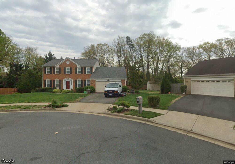
6320 Applegarth Ct Alexandria, VA 22312
Estimated Value: $835,544 - $961,000
4
Beds
3
Baths
2,428
Sq Ft
$370/Sq Ft
Est. Value
About This Home
This home is located at 6320 Applegarth Ct, Alexandria, VA 22312 and is currently estimated at $898,636, approximately $370 per square foot. 6320 Applegarth Ct is a home located in Fairfax County with nearby schools including Parklawn Elementary School, Holmes Middle School, and Annandale High School.
Ownership History
Date
Name
Owned For
Owner Type
Purchase Details
Closed on
Dec 20, 2003
Sold by
Aly Sayed M
Bought by
Aly Fayza M
Current Estimated Value
Purchase Details
Closed on
Jul 30, 1999
Sold by
Yearsich George G
Bought by
Aly Sayed
Home Financials for this Owner
Home Financials are based on the most recent Mortgage that was taken out on this home.
Original Mortgage
$259,200
Interest Rate
7.61%
Create a Home Valuation Report for This Property
The Home Valuation Report is an in-depth analysis detailing your home's value as well as a comparison with similar homes in the area
Home Values in the Area
Average Home Value in this Area
Purchase History
| Date | Buyer | Sale Price | Title Company |
|---|---|---|---|
| Aly Fayza M | -- | -- | |
| Aly Sayed | $324,000 | -- |
Source: Public Records
Mortgage History
| Date | Status | Borrower | Loan Amount |
|---|---|---|---|
| Previous Owner | Aly Sayed | $259,200 |
Source: Public Records
Tax History Compared to Growth
Tax History
| Year | Tax Paid | Tax Assessment Tax Assessment Total Assessment is a certain percentage of the fair market value that is determined by local assessors to be the total taxable value of land and additions on the property. | Land | Improvement |
|---|---|---|---|---|
| 2025 | $10,032 | $849,160 | $311,000 | $538,160 |
| 2024 | $10,032 | $804,830 | $296,000 | $508,830 |
| 2023 | $9,605 | $799,220 | $296,000 | $503,220 |
| 2022 | $9,106 | $746,940 | $281,000 | $465,940 |
| 2021 | $8,645 | $695,520 | $264,000 | $431,520 |
| 2020 | $7,996 | $637,890 | $242,000 | $395,890 |
| 2019 | $7,997 | $636,720 | $242,000 | $394,720 |
| 2018 | $7,322 | $636,720 | $242,000 | $394,720 |
| 2017 | $7,136 | $578,430 | $226,000 | $352,430 |
| 2016 | $7,133 | $578,430 | $226,000 | $352,430 |
| 2015 | $6,477 | $542,190 | $208,000 | $334,190 |
| 2014 | $6,464 | $542,190 | $208,000 | $334,190 |
Source: Public Records
Map
Nearby Homes
- 1045 Rynex Dr
- 4600 Kling Dr
- 4614 Kling Dr
- 4427 Brookside Dr
- 5953 Lowell Ave
- 6108 Larstan Dr
- 6352 Hillcrest Place
- 301 N Beauregard St Unit 1508
- 301 N Beauregard St Unit 1114
- 301 N Beauregard St Unit 1605
- 301 N Beauregard St Unit 1617
- 527 N Armistead St Unit T3
- 525 N Armistead St Unit T2
- 5929 Quantrell Ave Unit 301
- 523 N Armistead St Unit 102
- 6231 Yellowstone Dr
- 519 N Armistead St Unit T1
- 426 N Armistead St Unit 303
- 509 N Armistead St Unit 303
- 511 N Armistead St Unit T2
- 6322 Applegarth Ct
- 6321 Applegarth Ct
- 6324 Applegarth Ct
- 6323 Applegarth Ct
- 4500 Kling Dr
- 4500 Kling Dr
- 6328 Albro Ln
- 6324 Albro Ln
- 6330 Albro Ln
- 6325 Applegarth Ct
- 6326 Applegarth Ct
- 6320 Albro Ln
- 4421 Kling Dr
- 6332 Albro Ln
- 6328 Applegarth Ct
- 6327 Applegarth Ct
- 4501 Kling Dr
- 6334 Albro Ln
- 4440 Rynex Dr
- 4503 Kling Dr