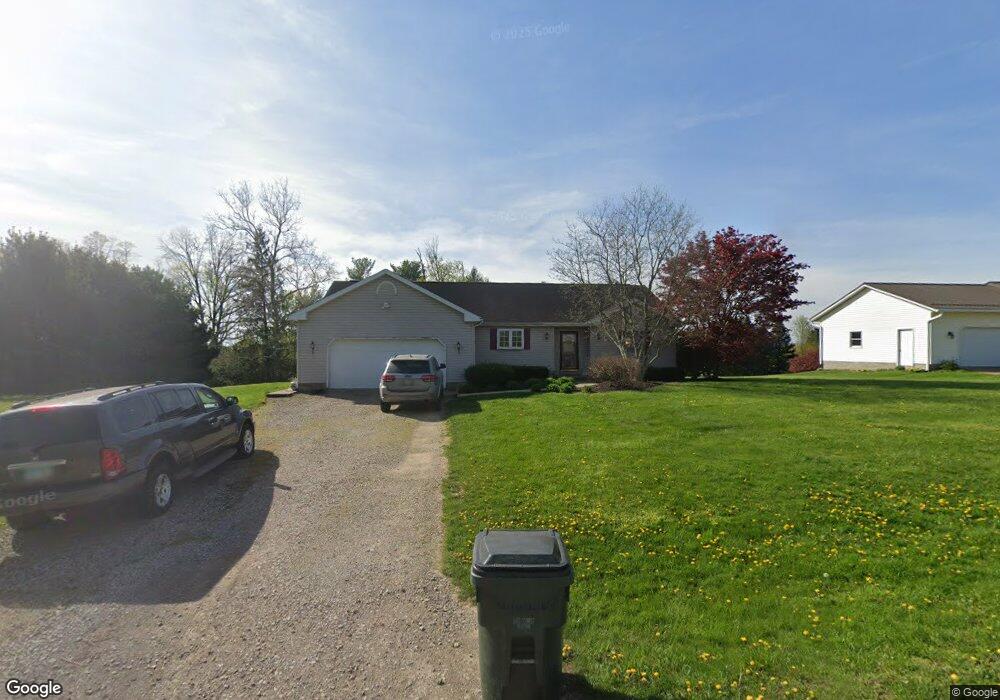
6320 Windsong Way Nashport, OH 43830
Estimated Value: $281,000 - $381,447
3
Beds
2
Baths
1,508
Sq Ft
$214/Sq Ft
Est. Value
About This Home
This home is located at 6320 Windsong Way, Nashport, OH 43830 and is currently estimated at $323,362, approximately $214 per square foot. 6320 Windsong Way is a home located in Muskingum County with nearby schools including Tri-Valley High School.
Ownership History
Date
Name
Owned For
Owner Type
Purchase Details
Closed on
Aug 17, 1998
Sold by
Schlaegel John M
Bought by
Ardelian E Alan Stephanie K
Current Estimated Value
Home Financials for this Owner
Home Financials are based on the most recent Mortgage that was taken out on this home.
Original Mortgage
$105,300
Outstanding Balance
$22,255
Interest Rate
7.07%
Mortgage Type
New Conventional
Estimated Equity
$301,107
Create a Home Valuation Report for This Property
The Home Valuation Report is an in-depth analysis detailing your home's value as well as a comparison with similar homes in the area
Home Values in the Area
Average Home Value in this Area
Purchase History
| Date | Buyer | Sale Price | Title Company |
|---|---|---|---|
| Ardelian E Alan Stephanie K | $117,000 | -- |
Source: Public Records
Mortgage History
| Date | Status | Borrower | Loan Amount |
|---|---|---|---|
| Open | Ardelian E Alan Stephanie K | $105,300 |
Source: Public Records
Tax History Compared to Growth
Tax History
| Year | Tax Paid | Tax Assessment Tax Assessment Total Assessment is a certain percentage of the fair market value that is determined by local assessors to be the total taxable value of land and additions on the property. | Land | Improvement |
|---|---|---|---|---|
| 2024 | $3,486 | $95,515 | $18,445 | $77,070 |
| 2023 | $2,765 | $68,950 | $7,840 | $61,110 |
| 2022 | $2,701 | $68,950 | $7,840 | $61,110 |
| 2021 | $2,460 | $68,950 | $7,840 | $61,110 |
| 2020 | $2,189 | $59,955 | $6,825 | $53,130 |
| 2019 | $2,189 | $59,955 | $6,825 | $53,130 |
| 2018 | $1,956 | $59,955 | $6,825 | $53,130 |
| 2017 | $1,791 | $48,650 | $6,825 | $41,825 |
| 2016 | $1,815 | $48,660 | $6,830 | $41,830 |
| 2015 | $1,811 | $48,660 | $6,830 | $41,830 |
| 2013 | $2,273 | $43,760 | $6,830 | $36,930 |
Source: Public Records
Map
Nearby Homes
- 6355 Brentcrest Dr
- 6365 Brentcrest Dr
- 6250 Tanglewood Dr
- 6740 Swing A Long Ln
- 6730 Dillon Hills Dr
- 6850 Newark Rd
- 6805 Dillon Hills Dr
- 6080 Poplar Dr
- 5605 Pleasant View Dr
- 5295 Milford Dr
- 5880 Ballard Rd
- 5290 Hampton Ct
- 0 Newark Rd
- 5220 Hampton Ct
- 5240 Stonegate Dr
- 5050 Wilshire Dr
- 5260 Stonegate Dr
- 5270 Stonegate Dr
- 5255 Stonegate Dr
- 5265 Stonegate Dr
- 6310 Windsong Way
- 6330 Windsong Way
- 6325 Brentcrest Dr
- 6290 Windsong Way
- 6315 Brentcrest Dr
- 6325 Windsong Way
- 6315 Windsong Way
- 6345 Brentcrest Dr
- 6305 Windsong Way
- 6350 Windsong Way
- 6335 Windsong Way
- 6351 Brentcrest Dr
- 6280 Windsong Way
- 6345 Windsong Way
- 6285 Brentcrest Dr
- 6355 Tanglewood Dr
- 6320 Brentcrest Dr
- 6285 Windsong Way
- 6370 Windsong Way
- 6515 Swing A Long Ln