6321 George Island Landing Rd Stockton, MD 21864
Estimated Value: $200,000 - $276,000
--
Bed
2
Baths
2,384
Sq Ft
$100/Sq Ft
Est. Value
About This Home
This home is located at 6321 George Island Landing Rd, Stockton, MD 21864 and is currently estimated at $239,292, approximately $100 per square foot. 6321 George Island Landing Rd is a home located in Worcester County with nearby schools including Snow Hill Elementary School, Snow Hill Middle School, and Snow Hill High School.
Ownership History
Date
Name
Owned For
Owner Type
Purchase Details
Closed on
Jun 30, 1999
Sold by
Johnston Donald Richard
Bought by
Smythers Michael W and Smythers Brenda K
Current Estimated Value
Purchase Details
Closed on
Apr 12, 1983
Sold by
Sims Rosie For Life
Bought by
Johnston Donald Richard
Create a Home Valuation Report for This Property
The Home Valuation Report is an in-depth analysis detailing your home's value as well as a comparison with similar homes in the area
Home Values in the Area
Average Home Value in this Area
Purchase History
| Date | Buyer | Sale Price | Title Company |
|---|---|---|---|
| Smythers Michael W | $115,200 | -- | |
| Johnston Donald Richard | $9,000 | -- |
Source: Public Records
Mortgage History
| Date | Status | Borrower | Loan Amount |
|---|---|---|---|
| Closed | Smythers Michael W | -- |
Source: Public Records
Tax History Compared to Growth
Tax History
| Year | Tax Paid | Tax Assessment Tax Assessment Total Assessment is a certain percentage of the fair market value that is determined by local assessors to be the total taxable value of land and additions on the property. | Land | Improvement |
|---|---|---|---|---|
| 2025 | $1,981 | $208,100 | $38,000 | $170,100 |
| 2024 | $1,862 | $189,167 | $0 | $0 |
| 2023 | $1,682 | $170,233 | $0 | $0 |
| 2022 | $1,501 | $151,300 | $32,000 | $119,300 |
| 2021 | $1,502 | $150,633 | $0 | $0 |
| 2020 | $1,495 | $149,967 | $0 | $0 |
| 2019 | $1,489 | $149,300 | $32,000 | $117,300 |
| 2018 | $1,358 | $141,367 | $0 | $0 |
| 2017 | $1,324 | $133,433 | $0 | $0 |
| 2016 | $1,188 | $125,500 | $0 | $0 |
| 2015 | $1,221 | $125,500 | $0 | $0 |
| 2014 | $1,221 | $125,500 | $0 | $0 |
Source: Public Records
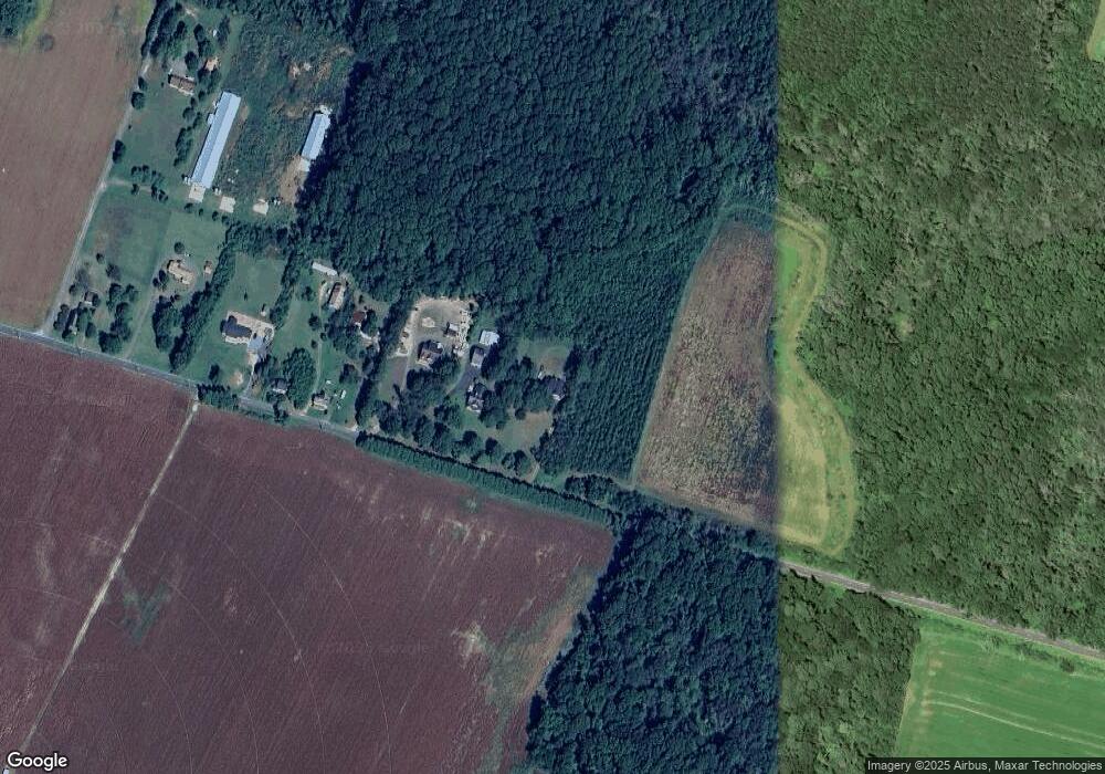
Map
Nearby Homes
- 6245 George Island Landing Rd
- 5719 George Island Landing Rd
- 5638 George Island Landing Rd
- 1461 Train Station Rd
- 1548 Grant Rd
- 1435 Ellis St
- Opal Plan at Captains Cove
- Topaz Plan at Captains Cove
- Pearl Plan at Captains Cove
- Emerald Plan at Captains Cove
- Inlet II Plan at Captains Cove
- Ruby Plan at Captains Cove
- Roosevelt Plan at Captains Cove
- Brandywine Plan at Captains Cove
- Sussex Plan at Captains Cove
- Coastal II Plan at Captains Cove
- Rehoboth Plan at Captains Cove
- Bristol II Plan at Captains Cove
- Osprey Plan at Captains Cove
- Hamilton Plan at Captains Cove
- 6313 George Island Landing Rd
- 6305 George Island Landing Rd
- 6301 George Island Landing Rd
- 6249 George Island Landing Rd
- 6247 George Island Landing Rd
- 6235 George Island Landing Rd
- 6225 George Island Landing Rd
- 6223 George Island Landing Rd
- 6215 George Island Landing Rd
- 6219 George Island Landing Rd
- 6141 George Island Landing Rd
- 6139 George Island Landing Rd
- 6136 George Island Landing Rd
- 6137 George Island Landing Rd
- 6129 George Island Landing Rd
- 6135 Portersville Rd
- 6150 George Island Landing Rd
- 6125 George Island Landing Rd
- 6126 George Island Landing Rd
- 6118 Portersville Rd