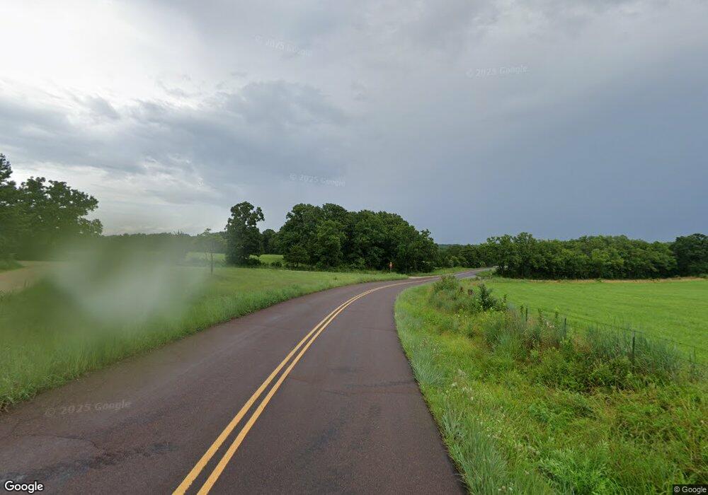
Estimated Value: $122,616 - $360,000
3
Beds
2
Baths
1,112
Sq Ft
$178/Sq Ft
Est. Value
About This Home
This home is located at 6321 Highway P, Clark, MO 65243 and is currently estimated at $197,404, approximately $177 per square foot. 6321 Highway P is a home located in Randolph County with nearby schools including Sturgeon Elementary School, Sturgeon Middle School, and Sturgeon High School.
Ownership History
Date
Name
Owned For
Owner Type
Purchase Details
Closed on
Sep 14, 2015
Sold by
Borror Wilmer E
Bought by
Heuer Carl E and Heuer Doris
Current Estimated Value
Home Financials for this Owner
Home Financials are based on the most recent Mortgage that was taken out on this home.
Original Mortgage
$26,000
Outstanding Balance
$20,477
Interest Rate
3.99%
Mortgage Type
Stand Alone First
Estimated Equity
$176,927
Create a Home Valuation Report for This Property
The Home Valuation Report is an in-depth analysis detailing your home's value as well as a comparison with similar homes in the area
Home Values in the Area
Average Home Value in this Area
Purchase History
| Date | Buyer | Sale Price | Title Company |
|---|---|---|---|
| Heuer Carl E | -- | None Available |
Source: Public Records
Mortgage History
| Date | Status | Borrower | Loan Amount |
|---|---|---|---|
| Open | Heuer Carl E | $26,000 |
Source: Public Records
Tax History Compared to Growth
Tax History
| Year | Tax Paid | Tax Assessment Tax Assessment Total Assessment is a certain percentage of the fair market value that is determined by local assessors to be the total taxable value of land and additions on the property. | Land | Improvement |
|---|---|---|---|---|
| 2025 | $624 | $10,270 | $650 | $9,620 |
| 2024 | $624 | $9,440 | $570 | $8,870 |
| 2023 | $616 | $9,440 | $570 | $8,870 |
| 2022 | $607 | $9,310 | $855 | $8,455 |
| 2021 | $589 | $9,350 | $855 | $8,495 |
| 2020 | $589 | $9,350 | $855 | $8,495 |
| 2019 | $588 | $9,350 | $855 | $8,495 |
| 2018 | $800 | $12,700 | $855 | $11,845 |
| 2017 | $806 | $12,770 | $0 | $0 |
| 2016 | $767 | $12,180 | $0 | $0 |
| 2014 | -- | $11,310 | $0 | $0 |
| 2013 | -- | $11,310 | $0 | $0 |
| 2012 | -- | $11,360 | $0 | $0 |
Source: Public Records
Map
Nearby Homes
- 97 Guthrie St
- 7 LOTS Suzanne Barkley St
- 7 Lots Barkley Suzanne Ct St
- 1330 County Road 2663
- 1852 Highway T
- 2665 E Benson Rd
- 0 Place Unit 423667
- 0 Lot 16 Bailey Place Unit 423598
- 0 Lot 17 Bailey Place Unit 423599
- 0 Lot 2 Bailey Place Unit 423590
- 0 Lot 18 Bailey Place Unit 423601
- 0 Lot 54 Bailey Place Unit 423665
- 0 Lot 55 Bailey Place Unit 423666
- 0 Lot 53 Bailey Place Unit 423664
- 0 Lot 46 Bailey Place Unit 423657
- 0 Lot 52 Bailey Place Unit 423663
- 0 Lot 20 Bailey Place Unit 423602
- 0 Lot 51 Bailey Place Unit 423661
- 0 Lot 19 Bailey Place Unit 423600
- 0 Lot 4 Bailey Place Unit 423623
- 6341 Highway P
- 6363 Highway P
- 6328 Highway P
- 6367 Highway P
- 6366 Highway P
- 6366 Hwy P
- 6397 Highway P
- 100 Wesley St
- 104 Wesley St
- 101 Guthrie St
- 1074 Cr 2790
- 1074 County Road 2790
- 110 Wesley St
- 1071 County Road 2788
- 107 Guthrie St
- 1077 County Road 2788 N A
- 1077 County Road 2788
- 200 Wesley St
- 201 Lisbon St
- 204 Wesley St
