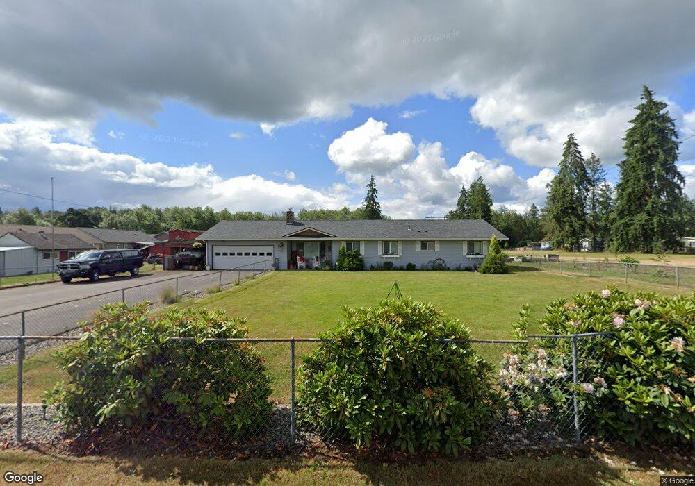
6323 201st Ave SW Centralia, WA 98531
Grand Mound NeighborhoodEstimated Value: $344,000 - $614,079
3
Beds
2
Baths
2,170
Sq Ft
$237/Sq Ft
Est. Value
About This Home
This home is located at 6323 201st Ave SW, Centralia, WA 98531 and is currently estimated at $514,770, approximately $237 per square foot. 6323 201st Ave SW is a home located in Thurston County with nearby schools including Rochester Primary School, Grand Mound Elementary School, and Rochester Middle School.
Ownership History
Date
Name
Owned For
Owner Type
Purchase Details
Closed on
Mar 22, 2021
Sold by
Galpin Richard D
Bought by
Jones Sharon
Current Estimated Value
Purchase Details
Closed on
Mar 27, 2015
Sold by
Galpin Carol J
Bought by
Galpin Richard and Galpin Sharon L
Home Financials for this Owner
Home Financials are based on the most recent Mortgage that was taken out on this home.
Original Mortgage
$145,000
Interest Rate
3.71%
Mortgage Type
Seller Take Back
Create a Home Valuation Report for This Property
The Home Valuation Report is an in-depth analysis detailing your home's value as well as a comparison with similar homes in the area
Home Values in the Area
Average Home Value in this Area
Purchase History
| Date | Buyer | Sale Price | Title Company |
|---|---|---|---|
| Jones Sharon | -- | None Available | |
| Galpin Richard | $144,719 | Thurston County Title Co |
Source: Public Records
Mortgage History
| Date | Status | Borrower | Loan Amount |
|---|---|---|---|
| Previous Owner | Galpin Richard | $145,000 |
Source: Public Records
Tax History Compared to Growth
Tax History
| Year | Tax Paid | Tax Assessment Tax Assessment Total Assessment is a certain percentage of the fair market value that is determined by local assessors to be the total taxable value of land and additions on the property. | Land | Improvement |
|---|---|---|---|---|
| 2024 | $4,702 | $556,600 | $178,100 | $378,500 |
| 2023 | $4,702 | $534,800 | $148,100 | $386,700 |
| 2022 | $4,389 | $526,500 | $109,700 | $416,800 |
| 2021 | $4,152 | $420,000 | $133,800 | $286,200 |
| 2020 | $4,372 | $365,600 | $84,700 | $280,900 |
| 2019 | $3,923 | $321,000 | $76,000 | $245,000 |
| 2018 | $4,376 | $301,900 | $63,400 | $238,500 |
| 2017 | $3,881 | $269,750 | $62,550 | $207,200 |
| 2016 | $3,760 | $255,150 | $66,450 | $188,700 |
| 2014 | -- | $256,400 | $73,000 | $183,400 |
Source: Public Records
Map
Nearby Homes
- 20107 Blair Ln SW
- 6321 199th Loop SW
- 19906 Tamarack Dr SW
- 6411 201st Ave SW Unit 21
- 0 Hwy 12 SW Unit NWM2363119
- 20022 Kuper Ct SW
- 20003 Kuper Ct SW
- 19714 Aspenwood Ct SW
- 20333 Old Highway 99 SW
- 19838 Bear View Ln SW
- 7143 196th Ave SW
- 19121 Elderberry St SW
- 20102 Rainy Ln SW
- 20940 20946 Old Highway 99 SW
- 6107 189th Loop SW
- 18905 Prairie St SW
- 18821 Guava St SW
- 7140 191st Ave SW Unit 26
- 6123 186th Trail SW
- 20005 Carper Rd SW
- 6318 201st Ave SW
- 20039 Ashbrook Ct SW
- 20045 Ashbrook Ct SW
- 6312 201st Ave SW
- 20101 Ashbrook Ct SW
- 6308 201st Ave SW
- 6300 201st Ave SW Unit 6246
- 20105 Ashbrook Ct SW
- 6242 & 6238 201 Ave SW
- 20046 Ashbrook Ct SW
- 6242 6238 201st Ave SW
- 6238 201st Ave SW
- 6242 201st Ave SW Unit 6238
- 20111 Ashbrook Ct SW
- 6322 201st Ave SW
- 20100 Ashbrook Ct SW
- 20035 Sunrose Ln SW
- 6410 201st Ave SW Unit 55
- 6410 201st Ave SW