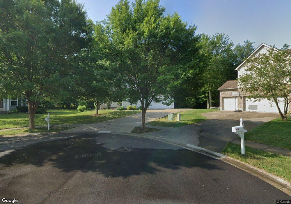
6323 Ashford Dr Loveland, OH 45140
Outer Loveland NeighborhoodEstimated Value: $410,000 - $452,000
4
Beds
3
Baths
2,312
Sq Ft
$189/Sq Ft
Est. Value
About This Home
This home is located at 6323 Ashford Dr, Loveland, OH 45140 and is currently estimated at $436,769, approximately $188 per square foot. 6323 Ashford Dr is a home located in Clermont County with nearby schools including Milford Senior High School, Milford Christian Academy, and St. Andrew - St. Elizabeth Ann Seton School.
Ownership History
Date
Name
Owned For
Owner Type
Purchase Details
Closed on
Jul 20, 2007
Sold by
M/I Homes Of Cincinnati Llc
Bought by
Brack Adrian L and Brack Melanie K
Current Estimated Value
Home Financials for this Owner
Home Financials are based on the most recent Mortgage that was taken out on this home.
Original Mortgage
$130,000
Interest Rate
6.44%
Mortgage Type
Purchase Money Mortgage
Create a Home Valuation Report for This Property
The Home Valuation Report is an in-depth analysis detailing your home's value as well as a comparison with similar homes in the area
Home Values in the Area
Average Home Value in this Area
Purchase History
| Date | Buyer | Sale Price | Title Company |
|---|---|---|---|
| Brack Adrian L | $204,100 | None Available |
Source: Public Records
Mortgage History
| Date | Status | Borrower | Loan Amount |
|---|---|---|---|
| Closed | Brack Adrian L | $130,000 |
Source: Public Records
Tax History Compared to Growth
Tax History
| Year | Tax Paid | Tax Assessment Tax Assessment Total Assessment is a certain percentage of the fair market value that is determined by local assessors to be the total taxable value of land and additions on the property. | Land | Improvement |
|---|---|---|---|---|
| 2024 | $5,369 | $117,290 | $21,110 | $96,180 |
| 2023 | $5,424 | $117,290 | $21,110 | $96,180 |
| 2022 | $4,964 | $81,800 | $14,700 | $67,100 |
| 2021 | $4,969 | $81,800 | $14,700 | $67,100 |
| 2020 | $4,763 | $81,800 | $14,700 | $67,100 |
| 2019 | $5,216 | $85,020 | $18,450 | $66,570 |
| 2018 | $5,218 | $85,020 | $18,450 | $66,570 |
| 2017 | $4,883 | $85,020 | $18,450 | $66,570 |
| 2016 | $4,911 | $72,660 | $15,750 | $56,910 |
| 2015 | $4,555 | $72,660 | $15,750 | $56,910 |
| 2014 | $4,555 | $72,660 | $15,750 | $56,910 |
| 2013 | $3,521 | $54,460 | $15,610 | $38,850 |
Source: Public Records
Map
Nearby Homes
- 6320 Ashford Dr
- 6211 Spires Dr
- 6108 Donna Jay Dr
- 6077 Branch Hill Guinea Pike
- 1803 Wheatfield Way
- 1285 State Rte 28
- 2013 Weber Rd
- 1289 Woodville Pike
- 1376 Barre Ln
- 6395 Barre Rd
- 6149 Century Farm Dr
- 1140 Weber Rd
- 6141 Brandywine Ct
- 6467 Smith Rd
- 5933 Firm Stance Dr
- 1064 Weber Rd
- 1124 Clover Field Dr
- 6074 Deerfield Rd Unit 28
- 6074 Deerfield Rd Unit 317
- 6074 Deerfield Rd Unit 314
- 6321 Ashford Dr
- 6325 Ashford Dr
- 6319 Ashford Dr
- 6327 Ashford Dr
- 6174 Spires Dr
- 6176 Spires Dr
- 6317 Ashford Dr
- 6318 Ashford Dr
- 6329 Ashford Dr
- 6178 Spires Dr
- 6316 Ashford Dr
- 6316 Ashford Dr Unit 190
- 6172 Spires Dr
- 6180 Spires Dr
- 6315 Ashford Dr
- 6331 Ashford Dr
- 6314 Ashford Dr
- 6182 Spires Dr
- 6322 Ashford Dr
- 6173 Spires Dr