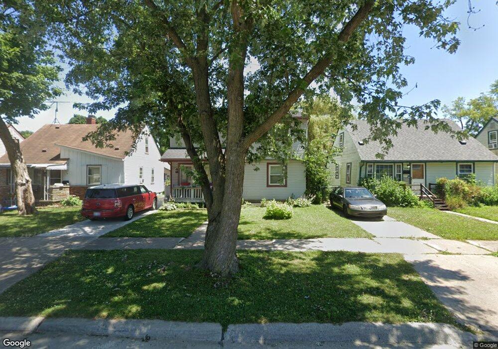
6323 Dean St Taylor, MI 48180
Estimated Value: $157,856 - $204,000
Studio
--
Bath
1,450
Sq Ft
$125/Sq Ft
Est. Value
About This Home
This home is located at 6323 Dean St, Taylor, MI 48180 and is currently estimated at $181,214, approximately $124 per square foot. 6323 Dean St is a home located in Wayne County with nearby schools including Clarence Randall Elementary School, Hoover Middle School, and Taylor High School.
Ownership History
Date
Name
Owned For
Owner Type
Purchase Details
Closed on
Jun 16, 2022
Sold by
Laforet Brian K
Bought by
Shortys Properties Llc
Current Estimated Value
Purchase Details
Closed on
Aug 12, 2010
Sold by
Murphy Linda M
Bought by
Laforet Brian K
Purchase Details
Closed on
Sep 12, 2001
Sold by
Laforet Brian
Bought by
Laforet Linda M
Create a Home Valuation Report for This Property
The Home Valuation Report is an in-depth analysis detailing your home's value as well as a comparison with similar homes in the area
Home Values in the Area
Average Home Value in this Area
Purchase History
| Date | Buyer | Sale Price | Title Company |
|---|---|---|---|
| Shortys Properties Llc | -- | None Listed On Document | |
| Laforet Brian K | -- | None Available | |
| Laforet Linda M | -- | -- |
Source: Public Records
Tax History
| Year | Tax Paid | Tax Assessment Tax Assessment Total Assessment is a certain percentage of the fair market value that is determined by local assessors to be the total taxable value of land and additions on the property. | Land | Improvement |
|---|---|---|---|---|
| 2025 | $2,335 | $83,300 | $0 | $0 |
| 2024 | $2,267 | $77,200 | $0 | $0 |
| 2023 | $2,554 | $66,600 | $0 | $0 |
| 2022 | $2,133 | $63,700 | $0 | $0 |
| 2021 | $2,280 | $54,500 | $0 | $0 |
| 2020 | $2,255 | $47,000 | $0 | $0 |
| 2019 | $223,951 | $41,800 | $0 | $0 |
| 2018 | $1,872 | $32,800 | $0 | $0 |
| 2017 | $711 | $32,600 | $0 | $0 |
| 2016 | $2,185 | $31,600 | $0 | $0 |
| 2015 | $2,970 | $29,700 | $0 | $0 |
| 2013 | $3,070 | $32,000 | $0 | $0 |
| 2012 | $1,393 | $31,200 | $7,800 | $23,400 |
Source: Public Records
Map
Nearby Homes
- 6310 Duncan St
- 6330 Hampden St
- 6334 Hampden St
- 26424 Beverly Rd
- 26215 Beverly Rd
- 6041 Fellrath St
- 25908 Beverly Rd
- 6363 Mcguire St
- 5970 John Daly St
- 6143 Mcguire St
- 6198 Princess St
- 6144 Princess St
- 26131 Amherst St
- 27032 Joan St
- 27029 Michelle Ct
- 6713 Mcguire St
- 5845 Beech Daly Rd
- 27059 Jeannette Ct
- 5904 Janet St
- 5940 Daniels St
Your Personal Tour Guide
Ask me questions while you tour the home.