6323 Mcmahon Rd Brockway, MI 48097
Estimated Value: $186,306 - $193,000
Studio
--
Bath
910
Sq Ft
$208/Sq Ft
Est. Value
About This Home
This home is located at 6323 Mcmahon Rd, Brockway, MI 48097 and is currently estimated at $189,102, approximately $207 per square foot. 6323 Mcmahon Rd is a home with nearby schools including Yale Senior High School.
Ownership History
Date
Name
Owned For
Owner Type
Purchase Details
Closed on
Dec 26, 2023
Sold by
Watkins Vada Marie
Bought by
Watkins Vada Marie and Watkins Vicki L
Current Estimated Value
Purchase Details
Closed on
Oct 28, 2015
Sold by
Strong Christine
Bought by
Hawk Kimberly K
Purchase Details
Closed on
Nov 12, 2013
Sold by
Watkins Vada Marie and Watkins Vicki L
Bought by
Watkins Vada Marie
Purchase Details
Closed on
Nov 12, 2012
Sold by
Watkins Vada Marie
Bought by
Watkins Vada Marie and Watkins Vicki L
Create a Home Valuation Report for This Property
The Home Valuation Report is an in-depth analysis detailing your home's value as well as a comparison with similar homes in the area
Home Values in the Area
Average Home Value in this Area
Purchase History
| Date | Buyer | Sale Price | Title Company |
|---|---|---|---|
| Watkins Vada Marie | -- | None Listed On Document | |
| Hawk Kimberly K | $133 | -- | |
| Hawk Kimberly K | $133 | -- | |
| Hawk Kimberly K | $133 | -- | |
| Hawk Kimberly K | $133 | -- | |
| Hawk Kimberly K | $133 | -- | |
| Hawk Kimberly K | $133 | -- | |
| Hawk Kimberly K | $133 | -- | |
| Hawk Kimberly K | $133 | -- | |
| Watkins Vada Marie | -- | None Available | |
| Watkins Vada Marie | -- | None Available |
Source: Public Records
Tax History
| Year | Tax Paid | Tax Assessment Tax Assessment Total Assessment is a certain percentage of the fair market value that is determined by local assessors to be the total taxable value of land and additions on the property. | Land | Improvement |
|---|---|---|---|---|
| 2025 | $663 | $87,500 | $0 | $0 |
| 2024 | $643 | $86,700 | $0 | $0 |
| 2023 | $612 | $57,200 | $0 | $0 |
| 2022 | $1,551 | $51,200 | $0 | $0 |
| 2020 | $1,454 | $49,000 | $49,000 | $0 |
| 2019 | $1,451 | $49,100 | $0 | $0 |
| 2018 | $1,511 | $51,700 | $0 | $0 |
| 2016 | $564 | $50,800 | $0 | $0 |
| 2015 | -- | $50,900 | $50,900 | $0 |
| 2014 | -- | $52,000 | $52,000 | $0 |
| 2013 | -- | $47,900 | $0 | $0 |
Source: Public Records
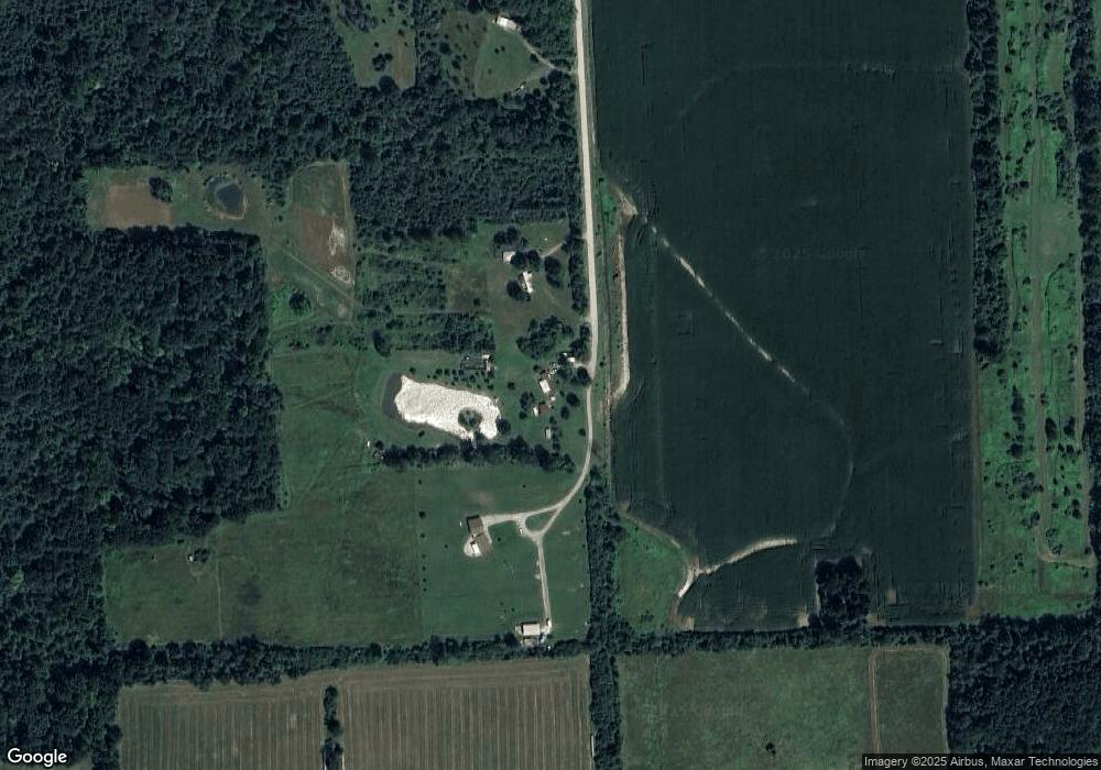
Map
Nearby Homes
- V/L Rose Rd Unit V/L Metcalf
- 10865 Norman Rd
- 5699 Connell Rd
- 6919 Emmett Rd
- VL Speaker Rd
- 7441 Jordan Rd
- 0 Jorden Unit 50176561
- 209 S Brockway Rd
- 204 Mary St
- 202 S Main St
- 109 E Wood St
- 106 E Mechanic St
- 203 E Mechanic St
- 6458 Owens Rd
- 100 Hickory Ln
- 0 Sullivan Rd Unit 20251062020
- 12697 Speaker Rd
- 206 Arthur St
- 305 N Kennefic St
- 504 N Main St
- 6335 Mcmahon Rd
- 11485 Norman Rd
- 6292 Connell Rd
- 0 Mc Mahon Rd Unit 5559363
- 0 Mc Mahon Rd Unit 217016893
- 0 Mc Mahon Rd Unit G31177749
- 0 Mc Mahon Rd Unit G31177751
- 0 Mc Mahon Rd Unit R213205891
- 0 Mc Mahon Rd Unit R213205821
- 11445 Norman Rd
- 11445 Norman Rd
- 11445 Norman Rd
- 11511 Norman Rd
- 11547 Norman Rd
- 11565 Norman Rd
- 11583 Norman Rd
- 11605 Norman Rd
- 11629 Norman Rd
- 11643 Norman Rd
- 11249 Norman Rd
Your Personal Tour Guide
Ask me questions while you tour the home.