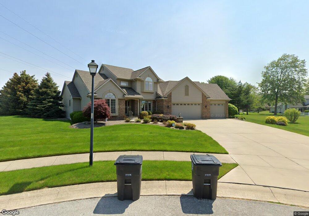
6325 Rock Bluff Ct Fort Wayne, IN 46819
Southwest Fort Wayne NeighborhoodEstimated Value: $340,000 - $569,002
4
Beds
5
Baths
2,788
Sq Ft
$166/Sq Ft
Est. Value
About This Home
This home is located at 6325 Rock Bluff Ct, Fort Wayne, IN 46819 and is currently estimated at $463,667, approximately $166 per square foot. 6325 Rock Bluff Ct is a home located in Allen County with nearby schools including Maplewood Elementary School, Miami Middle School, and Wayne High School.
Ownership History
Date
Name
Owned For
Owner Type
Purchase Details
Closed on
Jun 7, 2007
Sold by
Lebrato James C and Lebrato Sheila
Bought by
Hill Ii Charles Lee and Hill Julie A
Current Estimated Value
Home Financials for this Owner
Home Financials are based on the most recent Mortgage that was taken out on this home.
Original Mortgage
$185,900
Outstanding Balance
$26,868
Interest Rate
6.2%
Mortgage Type
Purchase Money Mortgage
Estimated Equity
$436,799
Create a Home Valuation Report for This Property
The Home Valuation Report is an in-depth analysis detailing your home's value as well as a comparison with similar homes in the area
Home Values in the Area
Average Home Value in this Area
Purchase History
| Date | Buyer | Sale Price | Title Company |
|---|---|---|---|
| Hill Ii Charles Lee | -- | Lawyers Title |
Source: Public Records
Mortgage History
| Date | Status | Borrower | Loan Amount |
|---|---|---|---|
| Open | Hill Ii Charles Lee | $185,900 |
Source: Public Records
Tax History Compared to Growth
Tax History
| Year | Tax Paid | Tax Assessment Tax Assessment Total Assessment is a certain percentage of the fair market value that is determined by local assessors to be the total taxable value of land and additions on the property. | Land | Improvement |
|---|---|---|---|---|
| 2024 | $5,555 | $573,100 | $25,400 | $547,700 |
| 2023 | $5,555 | $469,000 | $25,400 | $443,600 |
| 2022 | $5,317 | $455,500 | $25,400 | $430,100 |
| 2021 | $4,883 | $419,900 | $25,400 | $394,500 |
| 2020 | $4,139 | $362,300 | $25,400 | $336,900 |
| 2019 | $4,116 | $361,400 | $25,400 | $336,000 |
| 2018 | $3,707 | $316,300 | $25,400 | $290,900 |
| 2017 | $3,804 | $321,200 | $25,400 | $295,800 |
| 2016 | $4,270 | $346,800 | $25,400 | $321,400 |
| 2014 | $3,676 | $312,200 | $29,500 | $282,700 |
| 2013 | $3,568 | $303,900 | $29,500 | $274,400 |
Source: Public Records
Map
Nearby Homes
- 6725 Lakewood Ct
- 1805 Lakewood Dr
- 6305 Bluffton Rd
- 7324 Springhill Dr
- 6510 Old Trail Rd
- 5707 Chester Blvd
- 2707 Prairie Grove Dr
- 5345 Winchester Rd
- 2904 Pinewood Dr
- 1711 Saint Louis Ave
- 1627 Saint Louis Ave
- 5516 Indiana Ave
- 3013 Prairie Grove Dr
- 2702 Westward Dr
- 5426 S Wayne Ave
- 5561 S Wayne Ave
- 3001 Sandpoint Rd
- 3015 Mcarthur Dr
- 7101 Baer Rd
- 111 W Concord Ln Unit 111, 113, 115, 117
- 6716 Lakewood Ct
- 1902 Lakewood Dr
- 1906 Lakewood Dr
- 6324 Rock Bluff Ct
- 6724 Lakewood Ct
- 6332 Rock Bluff Ct
- 6717 Lakewood Ct
- 1907 Lakewood Dr
- 1903 Lakewood Dr
- 2010 Lakewood Dr
- 2003 Lakewood Dr
- 6325 Rock Cove
- 1819 Lakewood Dr
- 2007 Lakewood Dr
- 1815 Lakewood Dr
- 2014 Lakewood Dr
- 1809 Lakewood Dr
- 1804 Lakewood Dr
- 1922 Ardis St
- 1912 Ardis St