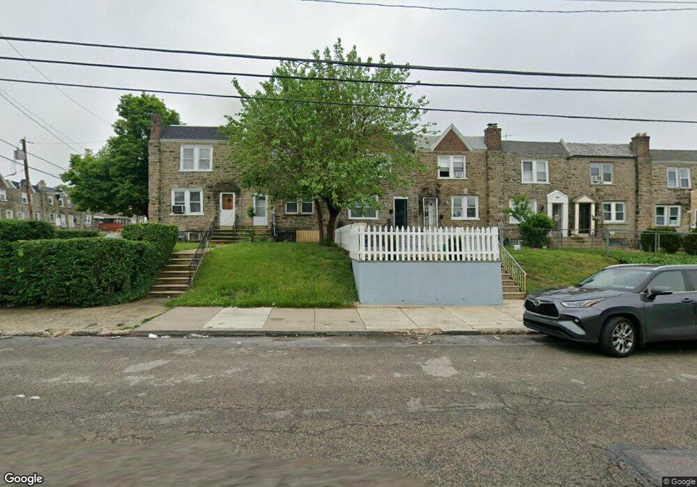
6326 Large St Philadelphia, PA 19149
Castor Gardens NeighborhoodEstimated Value: $187,000 - $222,000
3
Beds
1
Bath
1,278
Sq Ft
$163/Sq Ft
Est. Value
About This Home
This home is located at 6326 Large St, Philadelphia, PA 19149 and is currently estimated at $208,203, approximately $162 per square foot. 6326 Large St is a home located in Philadelphia County with nearby schools including Gilbert Spruance School, Northeast High School, and St Martin Of Tours Catholic School.
Ownership History
Date
Name
Owned For
Owner Type
Purchase Details
Closed on
Dec 13, 2002
Sold by
Softly Lois M
Bought by
Williams Jeffery
Current Estimated Value
Home Financials for this Owner
Home Financials are based on the most recent Mortgage that was taken out on this home.
Original Mortgage
$76,900
Outstanding Balance
$32,542
Interest Rate
6.16%
Estimated Equity
$175,661
Create a Home Valuation Report for This Property
The Home Valuation Report is an in-depth analysis detailing your home's value as well as a comparison with similar homes in the area
Home Values in the Area
Average Home Value in this Area
Purchase History
| Date | Buyer | Sale Price | Title Company |
|---|---|---|---|
| Williams Jeffery | $76,900 | Lawyers Title Insurance Corp |
Source: Public Records
Mortgage History
| Date | Status | Borrower | Loan Amount |
|---|---|---|---|
| Open | Williams Jeffery | $76,900 |
Source: Public Records
Tax History Compared to Growth
Tax History
| Year | Tax Paid | Tax Assessment Tax Assessment Total Assessment is a certain percentage of the fair market value that is determined by local assessors to be the total taxable value of land and additions on the property. | Land | Improvement |
|---|---|---|---|---|
| 2026 | $2,450 | $214,200 | $42,840 | $171,360 |
| 2025 | $2,450 | $214,200 | $42,840 | $171,360 |
| 2024 | $2,450 | $214,200 | $42,840 | $171,360 |
| 2023 | $2,450 | $175,000 | $35,000 | $140,000 |
| 2022 | $1,131 | $130,000 | $35,000 | $95,000 |
| 2021 | $1,761 | $0 | $0 | $0 |
| 2020 | $1,761 | $0 | $0 | $0 |
| 2019 | $1,690 | $0 | $0 | $0 |
| 2018 | $1,648 | $0 | $0 | $0 |
| 2017 | $1,648 | $0 | $0 | $0 |
| 2016 | $1,228 | $0 | $0 | $0 |
| 2015 | $1,175 | $0 | $0 | $0 |
| 2014 | -- | $117,700 | $22,967 | $94,733 |
| 2012 | -- | $15,136 | $2,434 | $12,702 |
Source: Public Records
Map
Nearby Homes
- 1427 Robbins Ave
- 1440 Robbins Ave
- 1453 Mckinley St
- 1500 Hellerman St
- 1530 Hellerman St
- 6239 Castor Ave
- 2001R Mckinley St
- 1414 Mckinley St
- 1535 Hellerman St
- 1531 Stevens St
- 1417 Stevens St
- 6135 Castor Ave
- 1551 Lardner St
- 1548 Lardner St
- 1507 Benner St
- 6111 Castor Ave
- 1439 Gilham St
- 1439 Higbee St
- 1409 Greeby St
- 1238 Elbridge St
- 6324 Large St
- 6328 Large St
- 6330 Large St
- 6322 Large St
- 1457 Stirling St
- 6332 Large St
- 1455 Stirling St
- 6334 Large St
- 1453 Stirling St
- 6336 Large St
- 1451 Stirling St
- 6338 Large St
- 1449 Stirling St
- 1462 Levick St
- 6340 Large St
- 1460 Levick St
- 6320 Large St
- 1447 Stirling St
- 1458 Levick St
- 1456 Levick St