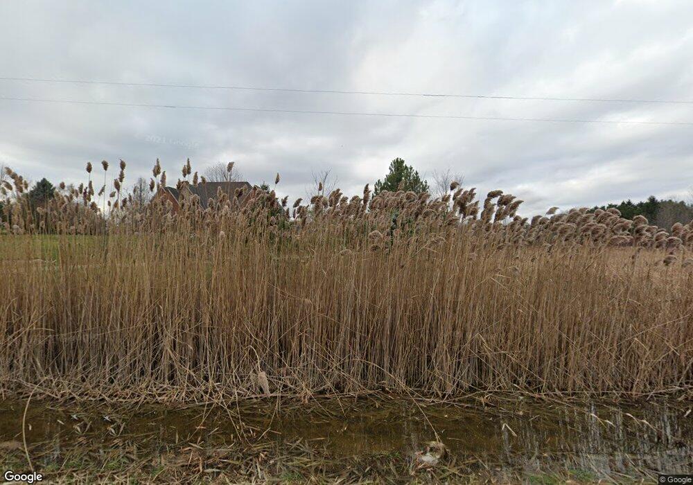
6326 Vassar Rd Unit Bldg-Unit Grand Blanc, MI 48439
Estimated Value: $674,000 - $926,000
--
Bed
4
Baths
2,812
Sq Ft
$288/Sq Ft
Est. Value
About This Home
This home is located at 6326 Vassar Rd Unit Bldg-Unit, Grand Blanc, MI 48439 and is currently estimated at $809,459, approximately $287 per square foot. 6326 Vassar Rd Unit Bldg-Unit is a home located in Genesee County with nearby schools including Indian Hill Elementary School, Grand Blanc East Middle School, and Grand Blanc High School.
Ownership History
Date
Name
Owned For
Owner Type
Purchase Details
Closed on
Jan 16, 2023
Sold by
Davis Marlies and Kenney Phillip
Bought by
Kenney And Davis Living Trust and Kenney
Current Estimated Value
Purchase Details
Closed on
Jan 30, 2015
Sold by
James R Reid Revocable Trust
Bought by
Crosno Charles F
Purchase Details
Closed on
Sep 7, 2012
Sold by
Crosno Charles F
Bought by
Stinnett George
Home Financials for this Owner
Home Financials are based on the most recent Mortgage that was taken out on this home.
Original Mortgage
$265,000
Interest Rate
3.59%
Mortgage Type
Purchase Money Mortgage
Create a Home Valuation Report for This Property
The Home Valuation Report is an in-depth analysis detailing your home's value as well as a comparison with similar homes in the area
Home Values in the Area
Average Home Value in this Area
Purchase History
| Date | Buyer | Sale Price | Title Company |
|---|---|---|---|
| Kenney And Davis Living Trust | -- | None Listed On Document | |
| Crosno Charles F | -- | None Available | |
| James R Reid Revocable Trust | -- | None Available | |
| Stinnett George | $265,000 | Cislo Title Co |
Source: Public Records
Mortgage History
| Date | Status | Borrower | Loan Amount |
|---|---|---|---|
| Previous Owner | Stinnett George | $265,000 |
Source: Public Records
Tax History Compared to Growth
Tax History
| Year | Tax Paid | Tax Assessment Tax Assessment Total Assessment is a certain percentage of the fair market value that is determined by local assessors to be the total taxable value of land and additions on the property. | Land | Improvement |
|---|---|---|---|---|
| 2025 | $12,997 | $415,300 | $0 | $0 |
| 2024 | $4,015 | $411,100 | $0 | $0 |
| 2023 | $3,830 | $332,900 | $0 | $0 |
| 2022 | $8,811 | $245,400 | $0 | $0 |
| 2021 | $8,578 | $231,900 | $0 | $0 |
| 2020 | $2,590 | $228,500 | $0 | $0 |
| 2019 | $2,548 | $225,700 | $0 | $0 |
| 2018 | $7,951 | $214,400 | $0 | $0 |
| 2017 | $7,984 | $217,700 | $0 | $0 |
| 2016 | $7,689 | $212,600 | $0 | $0 |
| 2015 | $5,310 | $199,400 | $0 | $0 |
| 2012 | -- | $145,100 | $145,100 | $0 |
Source: Public Records
Map
Nearby Homes
- VL Linden
- 6361 Samson Dr
- 6284 Westview Dr
- 6481 Perry Rd
- 7090 E Hill Rd
- 6296 Moonstone Dr
- 6241 Sapphire Ct Unit 34
- 6068 Hearthside Place
- 6358 Windham Place
- Integrity 1830 Plan at Meadows at McDonald Farms
- Integrity 1880 Plan at Meadows at McDonald Farms
- 7012 Marigold Ct
- 7014 Marigold Ct
- 7121 Primrose Ln
- 6509 Jamie Ln
- 6429 Jamie Ln
- 6363 Amber Ln
- 19 Desire Dr
- 0074 Youness Dr
- 7250 Glen View Ln
- 6326 Vassar Rd
- 0000 W Flag Hotel Place
- 9481 Ridge Rd
- 6340 Vassar Rd
- 6280 Vassar Rd
- 6362 Vassar Rd
- 6323 Samson Dr
- 6331 Samson Dr
- 6343 Samson Dr
- 6353 Samson Dr
- 6315 Westview Dr
- 6371 Samson Dr
- 6307 Westview Dr
- 6316 Westview Dr
- 6377 Samson Dr
- 6346 Samson Dr
- 6250 Vassar Rd
- 6299 Westview Dr
- 6366 Samson Dr
- 6391 Samson Dr
