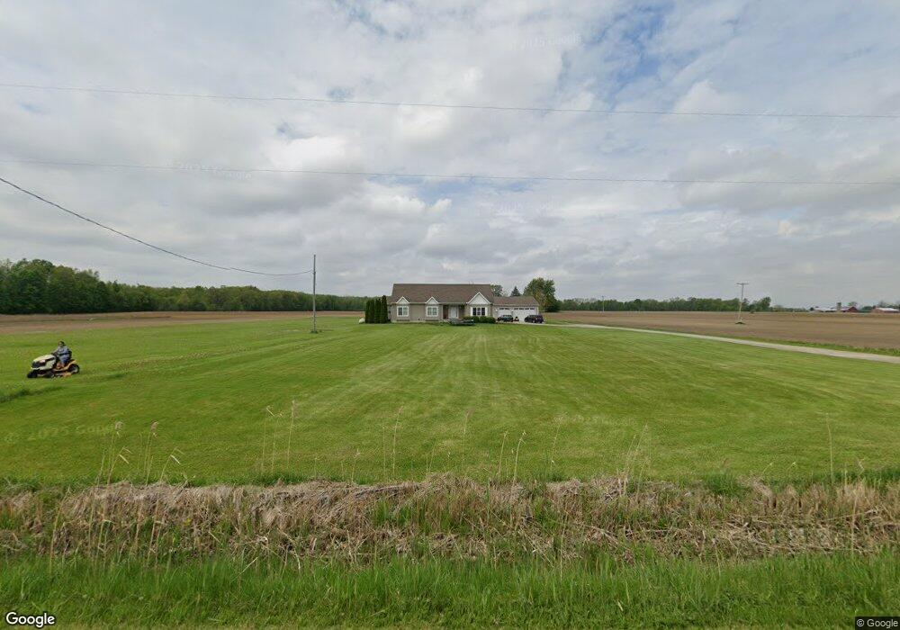
6327 Duffield Rd Flushing, MI 48433
Estimated Value: $256,000 - $341,000
Studio
--
Bath
2,540
Sq Ft
$119/Sq Ft
Est. Value
About This Home
This home is located at 6327 Duffield Rd, Flushing, MI 48433 and is currently estimated at $302,069, approximately $118 per square foot. 6327 Duffield Rd is a home located in Genesee County with nearby schools including Elms Elementary School, Flushing Middle School, and Flushing High School.
Ownership History
Date
Name
Owned For
Owner Type
Purchase Details
Closed on
Aug 31, 2007
Sold by
Zamora Alexis
Bought by
Zamora Alexis and Janiszewski John
Current Estimated Value
Home Financials for this Owner
Home Financials are based on the most recent Mortgage that was taken out on this home.
Original Mortgage
$168,000
Outstanding Balance
$106,641
Interest Rate
6.71%
Mortgage Type
Construction
Estimated Equity
$195,428
Purchase Details
Closed on
Jun 14, 2007
Sold by
Esterdahl Todd and Esterdahl Amber
Bought by
Zamora Alexis
Create a Home Valuation Report for This Property
The Home Valuation Report is an in-depth analysis detailing your home's value as well as a comparison with similar homes in the area
Home Values in the Area
Average Home Value in this Area
Purchase History
| Date | Buyer | Sale Price | Title Company |
|---|---|---|---|
| Zamora Alexis | -- | Metropolitan Title Company | |
| Zamora Alexis | $16,400 | Metropol |
Source: Public Records
Mortgage History
| Date | Status | Borrower | Loan Amount |
|---|---|---|---|
| Open | Zamora Alexis | $168,000 |
Source: Public Records
Tax History
| Year | Tax Paid | Tax Assessment Tax Assessment Total Assessment is a certain percentage of the fair market value that is determined by local assessors to be the total taxable value of land and additions on the property. | Land | Improvement |
|---|---|---|---|---|
| 2025 | $2,891 | $134,100 | $0 | $0 |
| 2024 | $1,518 | $129,400 | $0 | $0 |
| 2023 | $1,449 | $118,600 | $0 | $0 |
| 2022 | $2,522 | $105,400 | $0 | $0 |
| 2021 | $2,495 | $99,400 | $0 | $0 |
| 2020 | $1,348 | $93,600 | $0 | $0 |
| 2019 | $1,334 | $86,800 | $0 | $0 |
| 2018 | $2,363 | $75,200 | $0 | $0 |
| 2017 | $1,181 | $75,200 | $0 | $0 |
| 2016 | $2,220 | $71,300 | $0 | $0 |
| 2015 | $1,988 | $69,200 | $0 | $0 |
| 2014 | $1,162 | $65,700 | $0 | $0 |
| 2012 | -- | $61,500 | $61,500 | $0 |
Source: Public Records
Map
Nearby Homes
- 11186 W Stanley Rd
- 11358 W Carpenter Rd Rd
- 8073 Nichols Rd
- 8506 Duffield Rd
- 10101 Carpenter Rd
- 9207 N Island Ct Unit 12
- 5315 Chickasaw Trail
- 0 N Island Dr Unit 20230029447
- 271 Lovell Ct
- Vacant Land Rd
- Vacant Land Rd
- Vacant Land Rd
- 255 Grissom Ct
- 6355 N Mckinley Rd
- 9031 N Island Dr Unit 29
- 9807 Oak Ridge Rd
- 6058 N Mckinley Rd
- 0 W Pierson Rd Unit 50141989
- 8454 Wesley Dr
- 000 Old Timber Trail
- 6327 Duffield Rd
- 6327 Duffield Rd
- 6327 Duffield Rd
- 6327 Duffield Rd
- 6327 Duffield Rd
- 6299 Duffield Rd
- 6299 Duffield Rd
- 6313 Duffield Rd
- 6257 Duffield Rd
- 6267 Duffield Rd
- 6247 Duffield Rd
- 6333 Duffield Rd
- 6343 Duffield Rd
- 6227 Duffield Rd
- 6213 Duffield Rd
- 6235 Duffield Rd
- 6199 Duffield Rd
- 6199 Duffield Rd
- 6359 Duffield Rd
- 6188 Duffield Rd
Your Personal Tour Guide
Ask me questions while you tour the home.