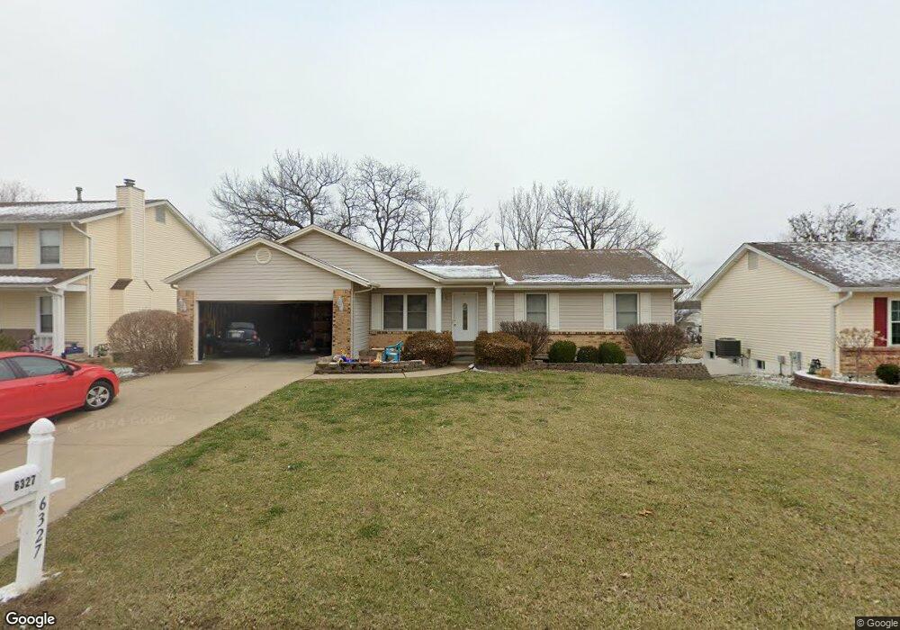
6327 Sprucefield Dr O Fallon, MO 63368
O'Fallon AreaEstimated Value: $289,000 - $333,000
About This Home
This home is located at 6327 Sprucefield Dr, O Fallon, MO 63368 and is currently estimated at $316,529, approximately $262 per square foot. 6327 Sprucefield Dr is a home located in St. Charles County with nearby schools including Pheasant Point Elementary School, Fort Zumwalt South Middle School, and Fort Zumwalt South High School.
Ownership History
We collect this data history from publicly available records. To have your information removed, we recommend requesting removal directly through your county’s website.
Purchase Details
Home Financials for this Owner
Home Financials are based on the most recent Mortgage that was taken out on this home.Home Values in the Area
Average Home Value in this Area
Purchase History
We collect this data history from publicly available records. To have your information removed, we recommend requesting removal directly through your county’s website.
| Date | Buyer | Sale Price | Title Company |
|---|---|---|---|
| $155,900 | Ust |
Mortgage History
We collect this data history from publicly available records. To have your information removed, we recommend requesting removal directly through your county’s website.
| Date | Status | Borrower | Loan Amount |
|---|---|---|---|
| Open | $231,800 | ||
| Closed | $225,000 | ||
| Closed | $154,000 | ||
| Closed | $138,278 |
Tax History
We collect this data history from publicly available records. To have your information removed, we recommend requesting removal directly through your county’s website.
| Year | Tax Paid | Tax Assessment Tax Assessment Total Assessment is a certain percentage of the fair market value that is determined by local assessors to be the total taxable value of land and additions on the property. | Land | Improvement |
|---|---|---|---|---|
| 2025 | $3,253 | $54,871 | ||
| 2023 | $3,256 | $49,299 | ||
| 2022 | $2,749 | $38,751 | $0 | $0 |
| 2021 | $2,756 | $38,751 | $0 | $0 |
| 2020 | $2,633 | $35,629 | $0 | $0 |
| 2019 | $2,639 | $35,629 | $0 | $0 |
| 2018 | $2,469 | $31,874 | $0 | $0 |
| 2017 | $2,427 | $31,874 | $0 | $0 |
| 2016 | $2,279 | $28,750 | $0 | $0 |
| 2015 | $2,124 | $28,750 | $0 | $0 |
| 2014 | $1,965 | $26,228 | $0 | $0 |
Map
- 6402 High Meadow Dr
- 6432 Sprucefield Dr
- 6523 Star Buck Dr
- 1153 Spring Orchard Dr
- 229 Coachman Way
- 1001 Summersweet Dr
- 1437 Colonial Dr
- 28 Twinleaf Ct
- 1427 Colonial Dr
- 8 Jacqueline Cir
- 149 Lamplighter Way
- 1401 Colonial Dr
- 9103 Camino Trail
- 605 Castlebrook Dr
- 118 Fallon Villa Ct
- 28 Jacobs Ct W
- 114 Fallon Villa Ct
- 110 Fallon Villa Ct
- 1703 Jacobs Pillow Dr
- 308 Willowpointe Dr
- 6331 Sprucefield Dr
- 6323 Sprucefield Dr
- 318 Meadowlake Dr
- 6335 Sprucefield Dr
- 6319 Sprucefield Dr
- 6332 Star Buck Dr
- 6337 Star Buck Dr
- 6339 Sprucefield Dr
- 6316 Sprucefield Dr
- 322 Meadowlake Dr
- 6315 Sprucefield Dr
- 6336 Star Buck Dr
- 6344 Sprucefield Dr
- 6311 Sprucefield Dr
- 321 Meadowlake Dr
- 6343 Sprucefield Dr
- 6345 Star Buck Dr
- 6340 Star Buck Dr
- 6331 Long Timber Dr
- 6335 Long Timber Dr
Ask me questions while you tour the home.