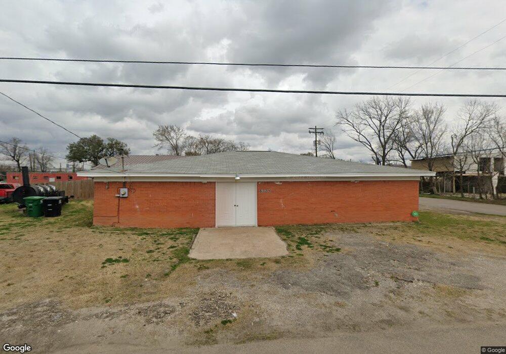
6328 New York St Houston, TX 77021
OST-South Union NeighborhoodEstimated Value: $262,000 - $271,000
3
Beds
1
Bath
2,000
Sq Ft
$133/Sq Ft
Est. Value
About This Home
This home is located at 6328 New York St, Houston, TX 77021 and is currently estimated at $266,500, approximately $133 per square foot. 6328 New York St is a home located in Harris County with nearby schools including Peck Elementary School, Cullen Middle School, and Yates High School.
Ownership History
Date
Name
Owned For
Owner Type
Purchase Details
Closed on
Feb 17, 2023
Sold by
Peters Cassandra
Bought by
Houston Community Land Trust
Current Estimated Value
Purchase Details
Closed on
Sep 7, 2013
Sold by
Campbell Louis L
Bought by
Love Missionary Baptist Church
Purchase Details
Closed on
Apr 2, 2009
Sold by
Hertenberger Elizabeth Marie
Bought by
Campbell Ii Louis L
Home Financials for this Owner
Home Financials are based on the most recent Mortgage that was taken out on this home.
Original Mortgage
$13,323
Interest Rate
5.03%
Mortgage Type
Seller Take Back
Create a Home Valuation Report for This Property
The Home Valuation Report is an in-depth analysis detailing your home's value as well as a comparison with similar homes in the area
Home Values in the Area
Average Home Value in this Area
Purchase History
| Date | Buyer | Sale Price | Title Company |
|---|---|---|---|
| Houston Community Land Trust | -- | -- | |
| Love Missionary Baptist Church | -- | None Available | |
| Campbell Ii Louis L | -- | American Title Company |
Source: Public Records
Mortgage History
| Date | Status | Borrower | Loan Amount |
|---|---|---|---|
| Previous Owner | Campbell Ii Louis L | $13,323 |
Source: Public Records
Tax History Compared to Growth
Tax History
| Year | Tax Paid | Tax Assessment Tax Assessment Total Assessment is a certain percentage of the fair market value that is determined by local assessors to be the total taxable value of land and additions on the property. | Land | Improvement |
|---|---|---|---|---|
| 2025 | -- | -- | -- | -- |
| 2024 | -- | -- | -- | -- |
| 2023 | -- | -- | -- | -- |
| 2022 | $0 | $0 | $0 | $0 |
| 2021 | $0 | $0 | $0 | $0 |
| 2020 | $0 | $0 | $0 | $0 |
| 2019 | $0 | $0 | $0 | $0 |
| 2018 | $0 | $0 | $0 | $0 |
| 2017 | $0 | $0 | $0 | $0 |
| 2016 | $0 | $0 | $0 | $0 |
| 2015 | -- | $0 | $0 | $0 |
| 2014 | -- | $23,778 | $12,500 | $11,278 |
Source: Public Records
Map
Nearby Homes
- 6320 Paris St
- 4516 Perry St
- 0 New York St
- 0 London St
- 6325 Cullen Blvd
- 6418 Paris St
- 6434 New York St
- 4509 Perry St
- 6326 Calhoun Rd
- 7131 Cullen Blvd
- 5738 Cullen Blvd
- 6423 Paris St
- 6427 Paris St
- 4522 Dewberry St
- 6431 Paris St
- 6418 Calhoun Rd
- 6302 Calhoun Rd
- 0 Cullen Blvd
- 6422 Calhoun Rd
- 6305 Eastwood St
- 6309 New York St
- 6324 Paris St
- 6402 Paris St
- 4512 Perry St
- 6314 Paris St
- 6406 Paris St
- 4336 Cosby St
- 6410 Paris St
- 6312 Paris St
- 6657 Cosby St
- 6318 Paris St
- 6310 London St
- 4518 Perry St
- 4518 Perry St Unit 1-12
- 6422 New York St Unit A
- 6422 New York St
- 6422 New York St Unit B
- 6422 New York St Unit A/B
- 6417 New York St
- 6306 Paris St