6329 Red Cedar Dr Bellvue, CO 80512
Estimated Value: $793,000 - $1,022,311
3
Beds
2
Baths
2,484
Sq Ft
$360/Sq Ft
Est. Value
About This Home
This home is located at 6329 Red Cedar Dr, Bellvue, CO 80512 and is currently estimated at $893,328, approximately $359 per square foot. 6329 Red Cedar Dr is a home located in Larimer County with nearby schools including Cache La Poudre Elementary School, Cache La Poudre Middle School, and Poudre High School.
Ownership History
Date
Name
Owned For
Owner Type
Purchase Details
Closed on
Jun 28, 1996
Sold by
Odell Odell D and Odell Wynona B
Bought by
Sharp William V A
Current Estimated Value
Home Financials for this Owner
Home Financials are based on the most recent Mortgage that was taken out on this home.
Original Mortgage
$130,000
Interest Rate
8.1%
Mortgage Type
Balloon
Create a Home Valuation Report for This Property
The Home Valuation Report is an in-depth analysis detailing your home's value as well as a comparison with similar homes in the area
Home Values in the Area
Average Home Value in this Area
Purchase History
| Date | Buyer | Sale Price | Title Company |
|---|---|---|---|
| Sharp William V A | $170,000 | -- |
Source: Public Records
Mortgage History
| Date | Status | Borrower | Loan Amount |
|---|---|---|---|
| Closed | Sharp William V A | $130,000 |
Source: Public Records
Tax History Compared to Growth
Tax History
| Year | Tax Paid | Tax Assessment Tax Assessment Total Assessment is a certain percentage of the fair market value that is determined by local assessors to be the total taxable value of land and additions on the property. | Land | Improvement |
|---|---|---|---|---|
| 2025 | $4,145 | $53,533 | $2,459 | $51,074 |
| 2024 | $3,944 | $53,533 | $2,459 | $51,074 |
| 2022 | $3,939 | $41,770 | $2,551 | $39,219 |
| 2021 | $3,973 | $42,971 | $2,624 | $40,347 |
| 2020 | $2,729 | $29,258 | $2,624 | $26,634 |
| 2019 | $2,741 | $29,258 | $2,624 | $26,634 |
| 2018 | $2,340 | $25,768 | $2,642 | $23,126 |
| 2017 | $2,332 | $25,768 | $2,642 | $23,126 |
| 2016 | $1,956 | $21,508 | $2,921 | $18,587 |
| 2015 | $1,942 | $21,510 | $2,920 | $18,590 |
| 2014 | $1,064 | $11,710 | $2,920 | $8,790 |
Source: Public Records
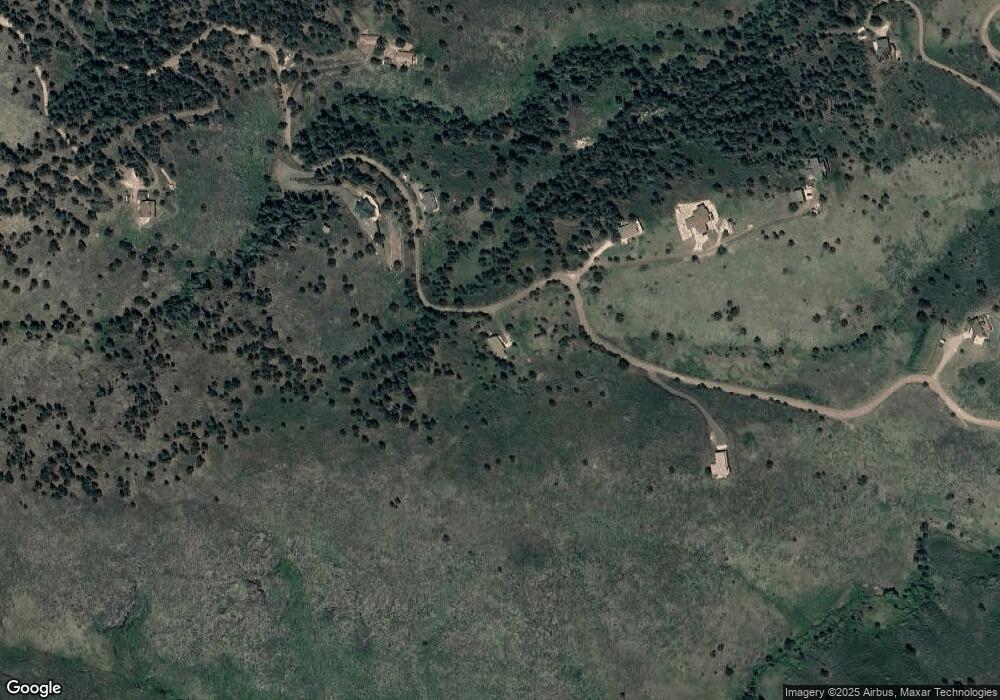
Map
Nearby Homes
- 6508 Jackpine Dr
- 10435 Roan Mountain Rd
- 9316 Tawny Lynx Rd
- 100 Canyon Gulch Rd
- 898 Hernia Hill Trail
- 1600 Whale Rock Rd
- 2720 N County Road 23
- 4516 Bingham Hill Rd
- 2518 Whale Rock Rd
- 1263 Twinflower Place
- 1357 Golden Currant Ct
- 410 High Ct
- 400 S Overland Trail Unit 6
- 1564 S Overland Trail
- 720 S Overland Trail
- 850 S Overland Trail Unit 20
- 3002 W Elizabeth St Unit 8E
- 3002 W Elizabeth St
- 3002 W Elizabeth St Unit G
- 920 S Overland Trail
- 0 Red Cedar Dr
- 6300 Feldspar Ct
- 6401 Red Cedar Dr
- 6212 Feldspar Ct
- 6275 Red Cedar Dr
- 6424 Red Cedar Dr
- 6424 Red Cedar Dr
- 6424 Red Cedar Dr
- 6208 Feldspar Ct
- 6501 Red Cedar Dr
- 0 Red Cedar Rd Unit 541447
- 0 Red Cedar Rd Unit 602374
- 6124 Red Cedar Dr
- 6104 Red Cedar Dr
- 6501 Jackpine Dr
- 6505 Jackpine Dr
- 6412 Jackpine Dr
- 6415 Jackpine Dr
- 6520 Jackpine Dr
- 6504 Jackpine Dr