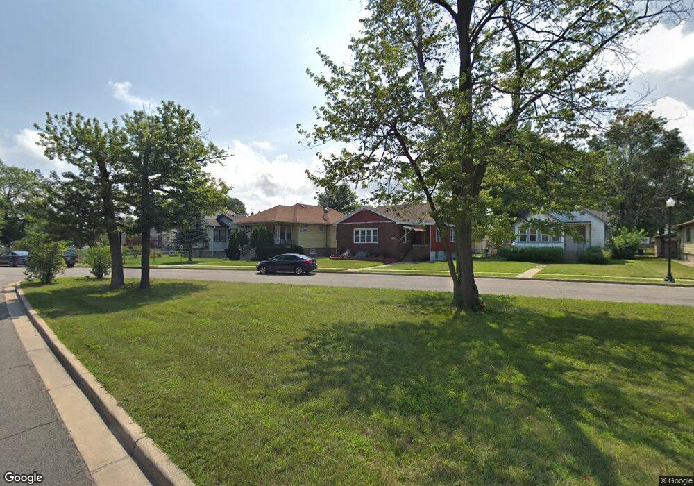
633 119th St Whiting, IN 46394
Estimated Value: $209,830 - $300,000
2
Beds
3
Baths
2,430
Sq Ft
$103/Sq Ft
Est. Value
About This Home
This home is located at 633 119th St, Whiting, IN 46394 and is currently estimated at $250,958, approximately $103 per square foot. 633 119th St is a home located in Lake County with nearby schools including Benjamin Franklin Elementary School, Eggers Middle School, and Hammond High School.
Ownership History
Date
Name
Owned For
Owner Type
Purchase Details
Closed on
Nov 14, 2023
Sold by
Vasilak Corondan Living Trust and Vasilak Daniel
Bought by
Vasilak Daniel and Vasilak Antoinette C
Current Estimated Value
Purchase Details
Closed on
Nov 9, 2023
Sold by
Vasilak Corondan Living Trust
Bought by
Vasilak Daniel and Vasilak Antoinette C
Purchase Details
Closed on
Jun 3, 2019
Sold by
Vasilak Daniel and Corondan Bonnie S
Bought by
Vasilak Daniel and Corondan Bonnie S
Purchase Details
Closed on
Jan 31, 2012
Sold by
In Wsh Llc
Bought by
Vasilak Daniel and Corondan Bonnie S
Purchase Details
Closed on
Aug 13, 2009
Sold by
Corondan Lorraine
Bought by
Corondan Bonnie Sue
Create a Home Valuation Report for This Property
The Home Valuation Report is an in-depth analysis detailing your home's value as well as a comparison with similar homes in the area
Home Values in the Area
Average Home Value in this Area
Purchase History
| Date | Buyer | Sale Price | Title Company |
|---|---|---|---|
| Vasilak Daniel | -- | None Listed On Document | |
| Vasilak Daniel | -- | None Listed On Document | |
| Vasilak Daniel | -- | None Available | |
| Vasilak Daniel | -- | None Available | |
| Vasilak Daniel | -- | Meridian Title Corp | |
| Corondan Bonnie Sue | -- | Meridian Title Corp |
Source: Public Records
Tax History
| Year | Tax Paid | Tax Assessment Tax Assessment Total Assessment is a certain percentage of the fair market value that is determined by local assessors to be the total taxable value of land and additions on the property. | Land | Improvement |
|---|---|---|---|---|
| 2025 | $2,540 | $202,100 | $36,100 | $166,000 |
| 2024 | $2,540 | $186,000 | $36,100 | $149,900 |
| 2023 | $2,364 | $185,000 | $38,300 | $146,700 |
| 2022 | $2,364 | $180,000 | $38,300 | $141,700 |
| 2021 | $1,994 | $152,800 | $19,300 | $133,500 |
| 2020 | $1,840 | $141,500 | $19,300 | $122,200 |
| 2019 | $1,844 | $134,200 | $19,300 | $114,900 |
| 2018 | $1,875 | $125,200 | $19,300 | $105,900 |
| 2017 | $1,925 | $118,500 | $19,300 | $99,200 |
| 2016 | $1,662 | $115,900 | $19,300 | $96,600 |
| 2014 | $1,638 | $115,400 | $19,200 | $96,200 |
| 2013 | $1,026 | $87,200 | $19,300 | $67,900 |
Source: Public Records
Map
Nearby Homes
- 1806 Brown Ave
- 1944 Warwick Ave
- 1609 Caroline Ave
- 2024 Lake Ave
- 1949 Lake Ave
- 2231 Davis Ave
- 1710 Atchison Ave
- 2134 Lincoln Ave
- 1643 Roberts Ave
- 1719 Atchison Ave
- 1346 Stanton Ave
- 1409 Lake Ave
- 1218 120th St
- 1539 Myrtle Ave
- 1631 Cleveland Ave
- 1704 Central Ave
- 1711 Central Ave
- 1623 Central Ave
- 1314 121st St
- 2017 Clark St
Your Personal Tour Guide
Ask me questions while you tour the home.