633 Barton Rd Eagle Point, OR 97524
Estimated Value: $593,000 - $809,000
4
Beds
3
Baths
2,340
Sq Ft
$312/Sq Ft
Est. Value
About This Home
This home is located at 633 Barton Rd, Eagle Point, OR 97524 and is currently estimated at $728,935, approximately $311 per square foot. 633 Barton Rd is a home located in Jackson County with nearby schools including Eagle Rock Elementary School, Eagle Point Middle School, and White Mountain Middle School.
Ownership History
Date
Name
Owned For
Owner Type
Purchase Details
Closed on
Jan 23, 2004
Sold by
Cloud Lori L
Bought by
Cloud Eugene R
Current Estimated Value
Create a Home Valuation Report for This Property
The Home Valuation Report is an in-depth analysis detailing your home's value as well as a comparison with similar homes in the area
Home Values in the Area
Average Home Value in this Area
Purchase History
| Date | Buyer | Sale Price | Title Company |
|---|---|---|---|
| Cloud Eugene R | -- | -- |
Source: Public Records
Tax History
| Year | Tax Paid | Tax Assessment Tax Assessment Total Assessment is a certain percentage of the fair market value that is determined by local assessors to be the total taxable value of land and additions on the property. | Land | Improvement |
|---|---|---|---|---|
| 2026 | $6,413 | $391,626 | -- | -- |
| 2025 | $6,251 | $452,007 | $67,497 | $384,510 |
| 2024 | $6,251 | $438,849 | $142,259 | $296,590 |
| 2023 | $6,041 | $426,072 | $138,122 | $287,950 |
| 2022 | $5,878 | $426,072 | $138,122 | $287,950 |
| 2021 | $5,706 | $413,667 | $55,317 | $358,350 |
| 2020 | $6,057 | $401,624 | $53,714 | $347,910 |
| 2019 | $5,966 | $378,580 | $50,630 | $327,950 |
| 2018 | $5,853 | $367,559 | $49,149 | $318,410 |
| 2017 | $5,711 | $367,559 | $49,149 | $318,410 |
| 2016 | $5,601 | $346,472 | $46,312 | $300,160 |
| 2015 | $5,306 | $346,472 | $46,312 | $300,160 |
| 2014 | $5,166 | $326,590 | $43,650 | $282,940 |
Source: Public Records
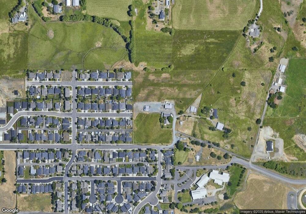
Map
Nearby Homes
- 1044 Havenwood Dr
- 1017 Havenwood Dr
- 945 Win Way
- 584 Barton Rd
- 208 Northview Dr Unit 1B
- 417 E Rolling Hills Dr
- 700 Nottingham Terrace
- 712 Nottingham Terrace
- 426 Westminster Dr
- 190 Barton Rd
- 1023 Highlands Dr
- 460 Montclair Way
- 925 Sellwood Dr
- 912 Stonewater Dr
- 911 Stonewater Dr
- 917 Stonewater Dr
- 403 N Deanjou Ave
- 407 N Deanjou Ave
- 633 E Archwood Dr Unit 89
- 633 E Archwood Dr Unit 86
- 598 Barton Rd
- 1070 Havenwood Dr
- 603 Sheffield Dr
- 600 Sheffield Dr
- 1067 Havenwood Dr
- 641 Barton Rd
- 1064 Havenwood Dr
- 609 Sheffield Dr
- 601 Nottingham Terrace
- 634 Barton Rd
- 601 Nottingham Terrace
- 606 Sheffield Dr
- 606 Sheffield Dr Unit Lt90
- 635 Barton Rd
- 360 Barton Rd
- 1058 Havenwood Dr
- 607 Nottingham Terrace
- 615 Sheffield Dr
- 607 Nottingham Terrace
- 612 Sheffield Dr
Your Personal Tour Guide
Ask me questions while you tour the home.