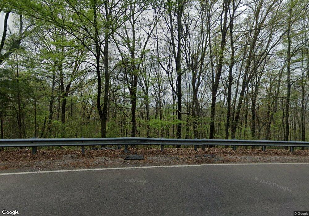
633 Callahan Rd Birmingham, AL 35215
Roebuck NeighborhoodEstimated Value: $98,000 - $118,154
3
Beds
1
Bath
1,092
Sq Ft
$102/Sq Ft
Est. Value
About This Home
This home is located at 633 Callahan Rd, Birmingham, AL 35215 and is currently estimated at $111,039, approximately $101 per square foot. 633 Callahan Rd is a home located in Jefferson County with nearby schools including Martha Gaskins Elementary School, Smith Middle School, and Huffman High School Magnet.
Ownership History
Date
Name
Owned For
Owner Type
Purchase Details
Closed on
Mar 11, 2015
Sold by
Allen Samuel
Bought by
Ivory George S
Current Estimated Value
Purchase Details
Closed on
Apr 22, 2005
Sold by
Fortenberry Randall G and Fortenberry Kristi M
Bought by
Allen Samuel
Home Financials for this Owner
Home Financials are based on the most recent Mortgage that was taken out on this home.
Original Mortgage
$87,500
Interest Rate
9.99%
Mortgage Type
Fannie Mae Freddie Mac
Create a Home Valuation Report for This Property
The Home Valuation Report is an in-depth analysis detailing your home's value as well as a comparison with similar homes in the area
Home Values in the Area
Average Home Value in this Area
Purchase History
| Date | Buyer | Sale Price | Title Company |
|---|---|---|---|
| Ivory George S | $500 | -- | |
| Allen Samuel | $87,500 | None Available |
Source: Public Records
Mortgage History
| Date | Status | Borrower | Loan Amount |
|---|---|---|---|
| Previous Owner | Allen Samuel | $87,500 |
Source: Public Records
Tax History Compared to Growth
Tax History
| Year | Tax Paid | Tax Assessment Tax Assessment Total Assessment is a certain percentage of the fair market value that is determined by local assessors to be the total taxable value of land and additions on the property. | Land | Improvement |
|---|---|---|---|---|
| 2024 | $736 | $11,140 | -- | -- |
| 2022 | $646 | $9,890 | $1,700 | $8,190 |
| 2021 | $546 | $8,520 | $1,700 | $6,820 |
| 2020 | $542 | $8,460 | $1,700 | $6,760 |
| 2019 | $542 | $8,460 | $0 | $0 |
| 2018 | $516 | $8,100 | $0 | $0 |
| 2017 | $516 | $8,100 | $0 | $0 |
| 2016 | $516 | $8,100 | $0 | $0 |
| 2015 | $1,173 | $16,180 | $0 | $0 |
| 2014 | $1,173 | $7,980 | $0 | $0 |
| 2013 | $1,173 | $7,980 | $0 | $0 |
Source: Public Records
Map
Nearby Homes
- 173 Roebuck Dr
- 317 Roebuck Dr Unit 7-002.000
- 604 Robison Dr
- 100 Hann Dr
- 320 Roebuck Dr
- 361 Roebuck Dr
- 809 Elizabeth Dr
- 900 Charles Ct
- 200 Boxwood Cir
- 208 Boxwood Cir
- 120 Roebuck Dr
- 201 Westwood Dr
- 756 Meadowbrook Dr
- 12 Sunset Ln Unit /1
- 305 Joan Ave
- 328 Pat Ave
- 458 Gene Reed Rd
- 300 Joan Ave
- 945 Nelson Dr
- 221 Lawson Rd
- 629 Callahan Rd
- 637 Callahan Rd
- 625 Callahan Rd
- 641 Callahan Rd
- 628 Callahan Rd
- 636 Callahan Rd
- 621 Callahan Rd
- 624 Callahan Rd
- 620 Callahan Rd
- 617 Callahan Rd
- 153 Gurley Ln
- 653 Callahan Rd
- 613 Gurley Cr
- 616 Callahan Rd
- 613 Gurley Cir
- 152 Gurley Ln
- 613 Callahan Rd
- 605 Gurley Cir
- 609 Gurley Cir
- 700 Groome Rd
