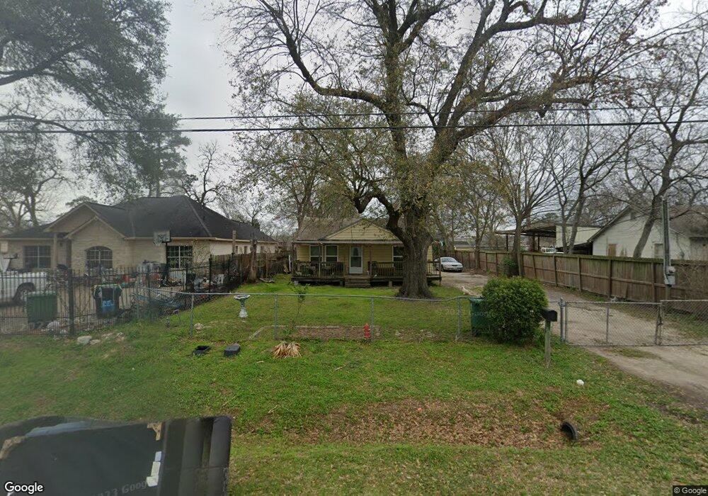
633 Eubanks St Houston, TX 77022
Northside-Northline NeighborhoodEstimated Value: $193,000 - $347,000
5
Beds
2
Baths
1,758
Sq Ft
$145/Sq Ft
Est. Value
About This Home
This home is located at 633 Eubanks St, Houston, TX 77022 and is currently estimated at $254,181, approximately $144 per square foot. 633 Eubanks St is a home located in Harris County with nearby schools including Janowski Elementary School, Burbank Middle School, and Sam Houston Math, Science & Technology Center.
Ownership History
Date
Name
Owned For
Owner Type
Purchase Details
Closed on
May 13, 1997
Sold by
Longoria Jesse and Longoria Eva
Bought by
Brown Laura D
Current Estimated Value
Home Financials for this Owner
Home Financials are based on the most recent Mortgage that was taken out on this home.
Original Mortgage
$28,130
Outstanding Balance
$3,910
Interest Rate
8.17%
Estimated Equity
$250,271
Create a Home Valuation Report for This Property
The Home Valuation Report is an in-depth analysis detailing your home's value as well as a comparison with similar homes in the area
Home Values in the Area
Average Home Value in this Area
Purchase History
| Date | Buyer | Sale Price | Title Company |
|---|---|---|---|
| Brown Laura D | -- | -- |
Source: Public Records
Mortgage History
| Date | Status | Borrower | Loan Amount |
|---|---|---|---|
| Open | Brown Laura D | $28,130 |
Source: Public Records
Tax History
| Year | Tax Paid | Tax Assessment Tax Assessment Total Assessment is a certain percentage of the fair market value that is determined by local assessors to be the total taxable value of land and additions on the property. | Land | Improvement |
|---|---|---|---|---|
| 2025 | $3,328 | $276,612 | $126,920 | $149,692 |
| 2024 | $3,328 | $250,258 | $116,483 | $133,775 |
| 2023 | $3,328 | $284,424 | $70,975 | $213,449 |
| 2022 | $4,792 | $237,873 | $70,975 | $166,898 |
| 2021 | $4,611 | $218,470 | $70,975 | $147,495 |
| 2020 | $4,356 | $200,579 | $70,975 | $129,604 |
| 2019 | $4,138 | $197,800 | $58,450 | $139,350 |
| 2018 | $2,722 | $148,652 | $48,848 | $99,804 |
| 2017 | $3,432 | $148,652 | $48,848 | $99,804 |
| 2016 | $3,120 | $132,937 | $45,925 | $87,012 |
| 2015 | $1,848 | $105,704 | $33,400 | $72,304 |
| 2014 | $1,848 | $98,099 | $33,400 | $64,699 |
Source: Public Records
Map
Nearby Homes
- 714 Apache St
- 743 Apache St
- 7714 Helmers St
- 741 Mcdaniel St
- 726 Mcdaniel St
- 525 Eubanks St
- 822 Berry Sage Ln
- 720 Caperton St
- 802 Berry Sage Ln
- 0 Appleton St
- 8440 Berry Brush Ln
- 916 Berry Rd
- 1104 Charnwood St
- 8205 Appleton St
- 428 Van Molan St
- 604 Yorkshire St
- 909 Yorkshire St Unit 8
- 7523 Roswell St
- 7805 Farnsworth St Unit A/B
- 605 Post St
Your Personal Tour Guide
Ask me questions while you tour the home.