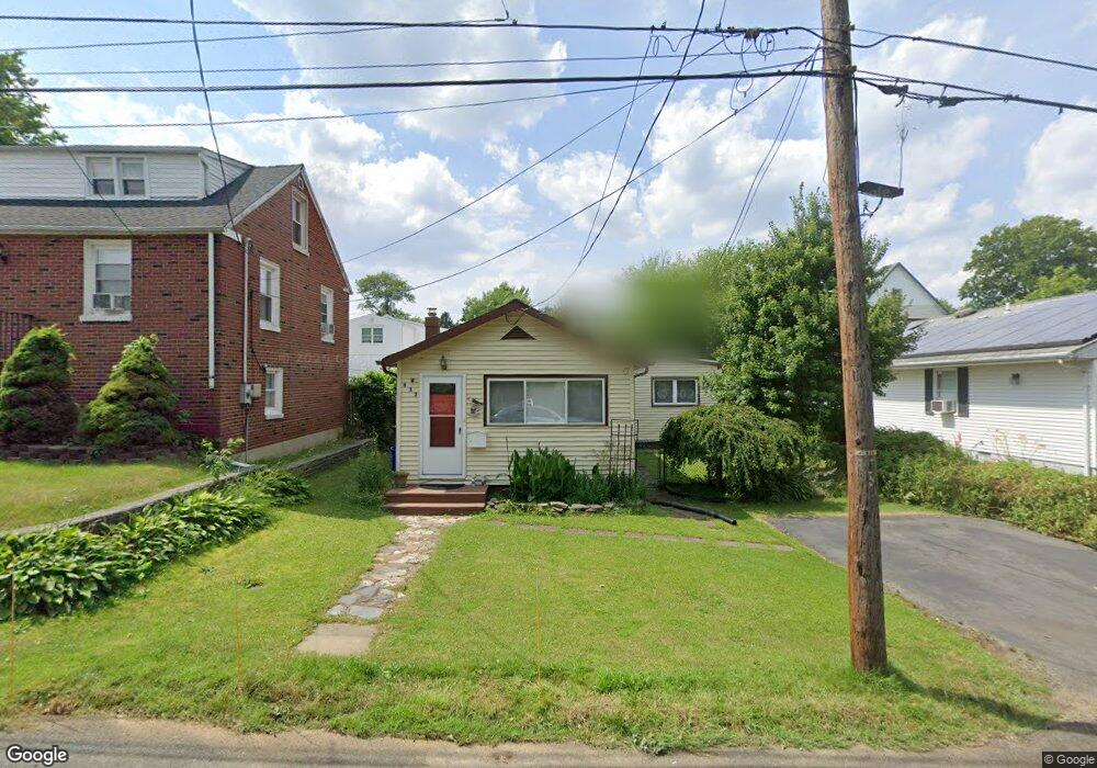
633 Forrest Ave South Amboy, NJ 08879
Estimated Value: $321,239 - $429,000
2
Beds
1
Bath
966
Sq Ft
$395/Sq Ft
Est. Value
About This Home
This home is located at 633 Forrest Ave, South Amboy, NJ 08879 and is currently estimated at $381,560, approximately $394 per square foot. 633 Forrest Ave is a home located in Middlesex County with nearby schools including Old Bridge High School, Matawan Montessori Academy, and St. Joseph Elementary School.
Ownership History
Date
Name
Owned For
Owner Type
Purchase Details
Closed on
Oct 9, 2023
Sold by
Mejia Mercedes
Bought by
Mejia William Willmark
Current Estimated Value
Purchase Details
Closed on
Mar 31, 2017
Sold by
Delorenzo Linda
Bought by
Mejia Mercedes
Home Financials for this Owner
Home Financials are based on the most recent Mortgage that was taken out on this home.
Original Mortgage
$103,500
Interest Rate
4.21%
Mortgage Type
New Conventional
Purchase Details
Closed on
Jan 18, 1995
Sold by
Lynch Robert
Bought by
Delorenzo Linda
Home Financials for this Owner
Home Financials are based on the most recent Mortgage that was taken out on this home.
Original Mortgage
$79,000
Interest Rate
9.16%
Mortgage Type
FHA
Create a Home Valuation Report for This Property
The Home Valuation Report is an in-depth analysis detailing your home's value as well as a comparison with similar homes in the area
Home Values in the Area
Average Home Value in this Area
Purchase History
| Date | Buyer | Sale Price | Title Company |
|---|---|---|---|
| Mejia William Willmark | $170,000 | Foundation Title | |
| Mejia William Willmark | $170,000 | Foundation Title | |
| Mejia Mercedes | $115,000 | Fidelity Natl Title Ins Co | |
| Delorenzo Linda | $79,000 | -- |
Source: Public Records
Mortgage History
| Date | Status | Borrower | Loan Amount |
|---|---|---|---|
| Previous Owner | Mejia Mercedes | $103,500 | |
| Previous Owner | Delorenzo Linda | $79,000 |
Source: Public Records
Tax History Compared to Growth
Tax History
| Year | Tax Paid | Tax Assessment Tax Assessment Total Assessment is a certain percentage of the fair market value that is determined by local assessors to be the total taxable value of land and additions on the property. | Land | Improvement |
|---|---|---|---|---|
| 2025 | $5,013 | $87,500 | $40,000 | $47,500 |
| 2024 | $4,807 | $87,500 | $40,000 | $47,500 |
| 2023 | $4,807 | $87,500 | $40,000 | $47,500 |
| 2022 | $4,678 | $87,500 | $40,000 | $47,500 |
| 2021 | $4,591 | $87,500 | $40,000 | $47,500 |
| 2020 | $4,536 | $87,500 | $40,000 | $47,500 |
| 2019 | $4,463 | $87,500 | $40,000 | $47,500 |
| 2018 | $4,414 | $87,500 | $40,000 | $47,500 |
| 2017 | $4,252 | $87,000 | $40,000 | $47,000 |
| 2016 | $4,167 | $87,000 | $40,000 | $47,000 |
| 2015 | $4,094 | $87,000 | $40,000 | $47,000 |
| 2014 | $4,045 | $87,000 | $40,000 | $47,000 |
Source: Public Records
Map
Nearby Homes
- 615 Greenwood Ave
- 737 Prospect Ave
- 438 Brookside Ave
- 940 Grove Ave
- 169 Norwood Ave
- 250 Brookside Ave
- 146 Orchard Ave
- 181 Norwood Ave
- 243 Alpine Way
- 239 Alpine Way
- 429 Lea Ave
- 16 Harbor Bay Cir
- 235 Garfield Ave
- 107 Boulevard W
- 106 Boulevard W
- 301 Shoreland Cir
- 18 Bridgepointe Dr
- 18 Bridgepointe Dr Unit 207
- 21 Lantana Way
- 238 Shoreland Cir
- 631 Forrest Ave
- 635 Forrest Ave
- 630 Forrest Ave
- 629 Forrest Ave
- 638 Forrest Ave
- 609 Greenwood Ave
- 613 Greenwood Ave
- 607 Greenwood Ave
- 676 Forrest Ave
- 672 Forrest Ave
- 605 Greenwood Ave
- 678 Forrest Ave
- 626 Forrest Ave
- 640 Forrest Ave
- 617 Greenwood Ave
- 668 Forrest Ave
- 681 Forrest Ave
- TBD Greenwood Ave
- 569 Greenwood Ave
- 567 Greenwood Ave