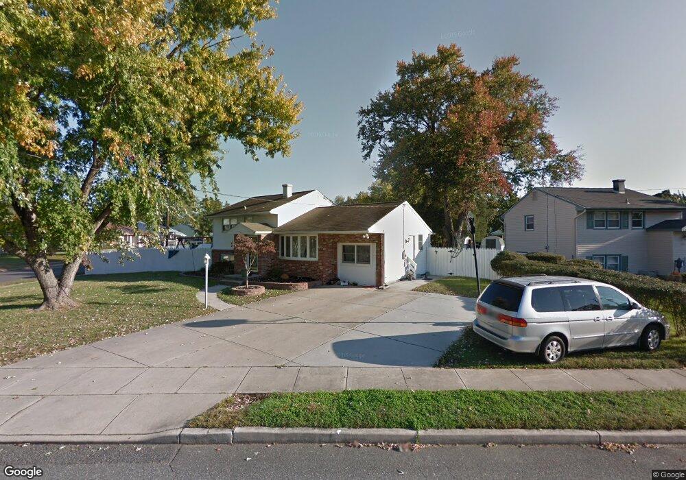
633 Georgetown Rd Wenonah, NJ 08090
Deptford Township NeighborhoodEstimated Value: $279,951 - $372,000
--
Bed
--
Bath
1,750
Sq Ft
$193/Sq Ft
Est. Value
About This Home
This home is located at 633 Georgetown Rd, Wenonah, NJ 08090 and is currently estimated at $337,238, approximately $192 per square foot. 633 Georgetown Rd is a home located in Gloucester County with nearby schools including Deptford Township High School and St Margaret Regional School.
Ownership History
Date
Name
Owned For
Owner Type
Purchase Details
Closed on
Jul 6, 2004
Sold by
Hiddemen Joan S
Bought by
Slough William S and Slough Kelly A
Current Estimated Value
Purchase Details
Closed on
Dec 11, 1998
Sold by
Hiddemen Joan S
Bought by
Hiddemen Joan S and Slough William S
Home Financials for this Owner
Home Financials are based on the most recent Mortgage that was taken out on this home.
Original Mortgage
$71,200
Interest Rate
6.85%
Create a Home Valuation Report for This Property
The Home Valuation Report is an in-depth analysis detailing your home's value as well as a comparison with similar homes in the area
Home Values in the Area
Average Home Value in this Area
Purchase History
| Date | Buyer | Sale Price | Title Company |
|---|---|---|---|
| Slough William S | -- | -- | |
| Hiddemen Joan S | -- | Surety Title Corporation |
Source: Public Records
Mortgage History
| Date | Status | Borrower | Loan Amount |
|---|---|---|---|
| Previous Owner | Hiddemen Joan S | $71,200 |
Source: Public Records
Tax History Compared to Growth
Tax History
| Year | Tax Paid | Tax Assessment Tax Assessment Total Assessment is a certain percentage of the fair market value that is determined by local assessors to be the total taxable value of land and additions on the property. | Land | Improvement |
|---|---|---|---|---|
| 2025 | $6,464 | $180,300 | $41,800 | $138,500 |
| 2024 | $6,256 | $180,300 | $41,800 | $138,500 |
| 2023 | $6,256 | $180,300 | $41,800 | $138,500 |
| 2022 | $6,211 | $180,300 | $41,800 | $138,500 |
| 2021 | $6,123 | $180,300 | $41,800 | $138,500 |
| 2020 | $6,053 | $180,300 | $41,800 | $138,500 |
| 2019 | $5,937 | $180,300 | $41,800 | $138,500 |
| 2018 | $5,804 | $180,300 | $41,800 | $138,500 |
| 2017 | $5,649 | $180,300 | $41,800 | $138,500 |
| 2016 | $5,533 | $180,300 | $41,800 | $138,500 |
| 2015 | $5,362 | $180,300 | $41,800 | $138,500 |
| 2014 | $5,223 | $180,300 | $41,800 | $138,500 |
Source: Public Records
Map
Nearby Homes
- 916 Georgetown Rd
- 114 Buddy Powell Ln
- 100 Buddy Powell Ln
- 313 Ogden Station Rd
- 7 Manchester Ct
- 315 Ogden Station Rd
- 711 Howard Ave
- 629 Vassar Rd
- 505 University Blvd
- 136 Vanderbilt Ave
- 748 Dartmouth Dr
- 477 Bucknell Ave
- 125 Ivy Ln
- 1 W Buttonwood St
- 8 W Buttonwood St
- 213 Barclay Ct
- 111 Cove Rd
- 441 Bucknell Ave
- 418 Westminster Rd
- 417 Auburn St
- 297 Stanford Ave
- 629 Georgetown Rd
- 632 Georgetown Rd
- 627 Georgetown Rd
- 294 Stanford Ave
- 632 College Blvd
- 628 College Blvd
- 628 Georgetown Rd
- 298 Stanford Ave
- 624 Georgetown Rd
- 624 College Blvd
- 623 Georgetown Rd
- 290 Stanford Ave
- 636 College Blvd
- 635 Georgetown Rd
- 620 Georgetown Rd
- 620 College Blvd
- 633 Westminister Rd
- 629 Westminister Rd
- 286 Stanford Ave