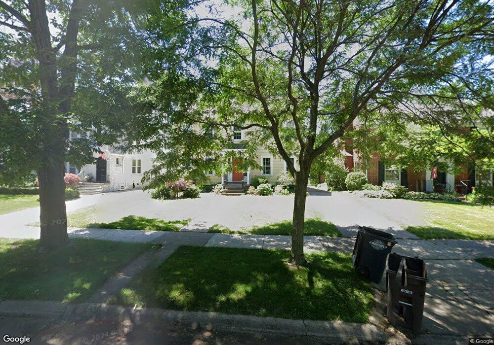
633 Lincoln Rd Grosse Pointe, MI 48230
Estimated Value: $539,000 - $759,000
4
Beds
2
Baths
2,160
Sq Ft
$282/Sq Ft
Est. Value
About This Home
This home is located at 633 Lincoln Rd, Grosse Pointe, MI 48230 and is currently estimated at $608,421, approximately $281 per square foot. 633 Lincoln Rd is a home located in Wayne County with nearby schools including Richard Elementary School, Brownell Middle School, and Grosse Pointe South High School.
Ownership History
Date
Name
Owned For
Owner Type
Purchase Details
Closed on
Aug 1, 2011
Sold by
Brown Malcolm E and Brown Sarah A
Bought by
Barnes Richard
Current Estimated Value
Home Financials for this Owner
Home Financials are based on the most recent Mortgage that was taken out on this home.
Original Mortgage
$231,966
Outstanding Balance
$161,951
Interest Rate
4.75%
Mortgage Type
FHA
Estimated Equity
$446,470
Create a Home Valuation Report for This Property
The Home Valuation Report is an in-depth analysis detailing your home's value as well as a comparison with similar homes in the area
Home Values in the Area
Average Home Value in this Area
Purchase History
| Date | Buyer | Sale Price | Title Company |
|---|---|---|---|
| Barnes Richard | $238,000 | Greco |
Source: Public Records
Mortgage History
| Date | Status | Borrower | Loan Amount |
|---|---|---|---|
| Open | Barnes Richard | $231,966 |
Source: Public Records
Tax History
| Year | Tax Paid | Tax Assessment Tax Assessment Total Assessment is a certain percentage of the fair market value that is determined by local assessors to be the total taxable value of land and additions on the property. | Land | Improvement |
|---|---|---|---|---|
| 2025 | $5,210 | $248,000 | $0 | $0 |
| 2024 | $5,035 | $241,900 | $0 | $0 |
| 2023 | $4,801 | $220,300 | $0 | $0 |
| 2022 | $6,949 | $204,200 | $0 | $0 |
| 2021 | $6,589 | $201,900 | $0 | $0 |
| 2019 | $6,843 | $175,800 | $0 | $0 |
| 2018 | $4,167 | $176,200 | $0 | $0 |
| 2017 | $4,399 | $174,000 | $0 | $0 |
| 2016 | $6,120 | $163,300 | $0 | $0 |
| 2015 | $11,606 | $143,100 | $0 | $0 |
| 2013 | $11,244 | $120,800 | $0 | $0 |
| 2012 | -- | $109,800 | $0 | $0 |
Source: Public Records
Map
Nearby Homes
- 180 Fisher Rd
- 614 Rivard Blvd
- 256 Fisher Rd
- 201 Mcmillan Rd
- 213 Muir Rd
- 194 Charlevoix Ave
- 341 Mcmillan Rd
- 355 Lincoln Rd
- 17540 Mack Ave Unit 10
- 17590 Mack Ave Unit 8
- 775 Notre Dame St
- 259 Mount Vernon Ave
- 516 Neff Ln
- 781 Loraine St
- 302 Mount Vernon Ave
- 345 Roosevelt Place
- 314 Mount Vernon Ave
- 407 Moran Rd
- 379 Lakeland St
- 25 Village Ln
- 637 Lincoln Rd
- 627 Lincoln Rd
- 643 Lincoln Rd
- 623 Lincoln Rd
- 647 Lincoln Rd
- 640 Washington Rd
- 636 Washington Rd
- 646 Washington Rd
- 617 Lincoln Rd
- 650 Washington Rd
- 630 Washington Rd
- 653 Lincoln Rd
- 615 Lincoln Rd
- 656 Washington Rd
- 626 Washington Rd
- 632 Lincoln Rd
- 626 Lincoln Rd
- 642 Lincoln Rd
- 622 Lincoln Rd
- 660 Washington Rd
Your Personal Tour Guide
Ask me questions while you tour the home.