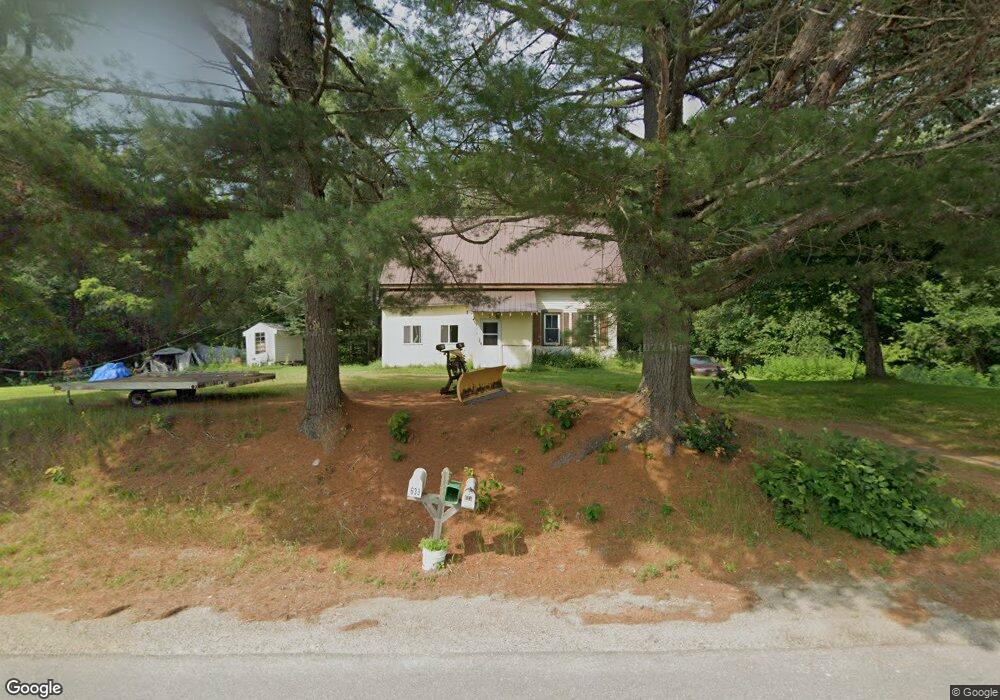
633 N Howland Rd Howland, ME 04448
Estimated Value: $101,000 - $411,000
--
Bed
--
Bath
--
Sq Ft
4.8
Acres
About This Home
This home is located at 633 N Howland Rd, Howland, ME 04448 and is currently estimated at $212,415. 633 N Howland Rd is a home with nearby schools including Enfield Station Elementary School, Hichborn Middle School, and Penobscot Valley High School.
Ownership History
Date
Name
Owned For
Owner Type
Purchase Details
Closed on
Jun 19, 2023
Sold by
Merrill Florence J Est and Harvey
Bought by
Littlefield Danita B
Current Estimated Value
Home Financials for this Owner
Home Financials are based on the most recent Mortgage that was taken out on this home.
Original Mortgage
$60,455
Outstanding Balance
$58,696
Interest Rate
6.35%
Mortgage Type
Purchase Money Mortgage
Estimated Equity
$153,719
Create a Home Valuation Report for This Property
The Home Valuation Report is an in-depth analysis detailing your home's value as well as a comparison with similar homes in the area
Home Values in the Area
Average Home Value in this Area
Purchase History
| Date | Buyer | Sale Price | Title Company |
|---|---|---|---|
| Littlefield Danita B | -- | None Available | |
| Littlefield Danita B | -- | None Available |
Source: Public Records
Mortgage History
| Date | Status | Borrower | Loan Amount |
|---|---|---|---|
| Open | Littlefield Danita B | $60,455 |
Source: Public Records
Tax History Compared to Growth
Tax History
| Year | Tax Paid | Tax Assessment Tax Assessment Total Assessment is a certain percentage of the fair market value that is determined by local assessors to be the total taxable value of land and additions on the property. | Land | Improvement |
|---|---|---|---|---|
| 2025 | $1,895 | $92,430 | $44,780 | $47,650 |
| 2024 | $1,516 | $72,170 | $34,910 | $37,260 |
| 2023 | $1,591 | $72,170 | $34,910 | $37,260 |
| 2022 | $1,278 | $52,170 | $25,300 | $26,870 |
| 2021 | $1,205 | $52,170 | $25,300 | $26,870 |
| 2020 | $1,007 | $52,170 | $25,300 | $26,870 |
| 2019 | $999 | $52,170 | $25,300 | $26,870 |
| 2018 | $999 | $52,170 | $25,300 | $26,870 |
| 2017 | $1,200 | $52,170 | $25,300 | $26,870 |
| 2016 | $1,148 | $52,170 | $25,300 | $26,870 |
| 2015 | $1,106 | $52,170 | $25,300 | $26,870 |
| 2014 | $965 | $52,170 | $25,300 | $26,870 |
| 2013 | $777 | $52,170 | $25,300 | $26,870 |
Source: Public Records
Map
Nearby Homes
- 3 Howland Rd
- 20 Oake Ln
- 194 Seboeis Rd
- Lot 39 Seboeis Rd
- 5 Pine Ln
- lot 8A N North Howland Rd
- 105 Water St
- 105 River Rd
- 92 Water St
- 100 River Rd
- Lot 18-1 Mattamiscontis Rd
- 57 Water St
- 50 River Rd
- R08 L028 Gardner Ln
- 42 Lagrange Rd
- 44 Penobscot Ave
- 12 Pleasant St
- 17 Willow St
- 23 Penobscot Ave
- 15 Lagrange Rd
- 634 N Howland Rd
- 634 N Howland Rd
- 625 N Howland Rd
- Lot#2 N Howland Rd
- 590 N Howland Rd
- 00 Maxfield Rd
- 537 N Howland Rd
- 527 N Howland Rd
- 1 Maxfield Rd NW
- 744 N Howland Rd
- Lot 5 Pine Ln
- 673 Maxfield Rd
- 509 N Howland Rd
- 437 N Howland Rd
- 677 Maxfield Rd
- 840 Maxfield Rd
- 841 Maxfield Rd
- 504 N Howland Rd
- 3 Howland Rd
- 3 Howland Rd