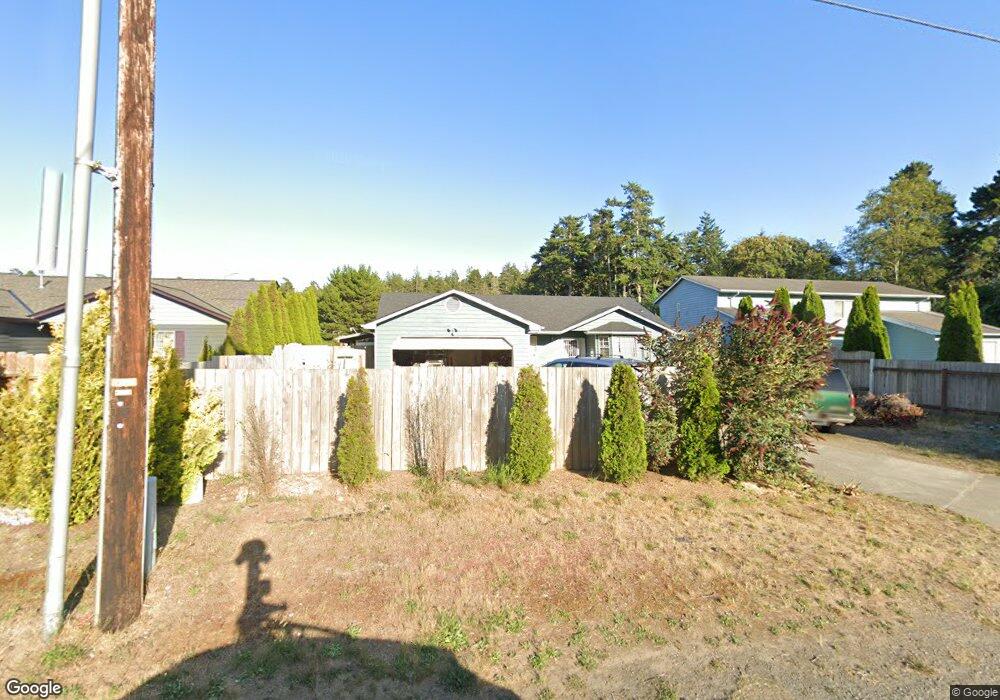
633 N Morrison St Coos Bay, OR 97420
Estimated Value: $393,802 - $413,000
3
Beds
2
Baths
1,565
Sq Ft
$258/Sq Ft
Est. Value
About This Home
This home is located at 633 N Morrison St, Coos Bay, OR 97420 and is currently estimated at $403,401, approximately $257 per square foot. 633 N Morrison St is a home located in Coos County with nearby schools including Sunset School, Madison Elementary School, and Marshfield Senior High School.
Ownership History
Date
Name
Owned For
Owner Type
Purchase Details
Closed on
Jul 21, 2014
Sold by
Rodriguez Carlos
Bought by
Hartwig Ardis and Waddell Timothy
Current Estimated Value
Purchase Details
Closed on
Jan 24, 2008
Sold by
Schnoor Earl N and Schnoor Norma E
Bought by
Rodriguez Carlos
Home Financials for this Owner
Home Financials are based on the most recent Mortgage that was taken out on this home.
Original Mortgage
$200,000
Interest Rate
6.09%
Mortgage Type
Purchase Money Mortgage
Create a Home Valuation Report for This Property
The Home Valuation Report is an in-depth analysis detailing your home's value as well as a comparison with similar homes in the area
Home Values in the Area
Average Home Value in this Area
Purchase History
| Date | Buyer | Sale Price | Title Company |
|---|---|---|---|
| Hartwig Ardis | $145,000 | First American Title | |
| Rodriguez Carlos | $200,000 | Ticor Title Insurance |
Source: Public Records
Mortgage History
| Date | Status | Borrower | Loan Amount |
|---|---|---|---|
| Previous Owner | Rodriguez Carlos | $200,000 |
Source: Public Records
Tax History Compared to Growth
Tax History
| Year | Tax Paid | Tax Assessment Tax Assessment Total Assessment is a certain percentage of the fair market value that is determined by local assessors to be the total taxable value of land and additions on the property. | Land | Improvement |
|---|---|---|---|---|
| 2024 | $3,830 | $220,330 | -- | -- |
| 2023 | $3,714 | $213,920 | $0 | $0 |
| 2022 | $3,653 | $207,690 | $0 | $0 |
| 2021 | $3,558 | $201,650 | $0 | $0 |
| 2020 | $3,458 | $201,650 | $0 | $0 |
| 2019 | $3,320 | $190,080 | $0 | $0 |
| 2018 | $3,206 | $184,550 | $0 | $0 |
| 2017 | $2,841 | $179,180 | $0 | $0 |
| 2016 | $2,712 | $173,970 | $0 | $0 |
| 2015 | $2,515 | $168,910 | $0 | $0 |
| 2014 | $2,515 | $165,600 | $0 | $0 |
Source: Public Records
Map
Nearby Homes
- 0 N Morrison St
- 1066 Pirates Ct
- 765 Edwards
- 755 Edwards
- 736 Edwards Ave
- 1120 Lakeshore Dr
- 903 Chickses Dr
- 437 N Wasson St
- 283 N Main St
- 0 N Cammann St
- 620 John Ave
- 815 Fenwick St
- 1366 Lakeshore Dr
- 245/247 Ackerman Ave
- 715 Jackson Ave
- 274 N Cammann St
- 1088 Newmark Ave
- 242 N Wasson St
- 01500 Cape Arago Hwy
- 1022 Newmark Ave
- 639 N Morrison St
- 611 N Morrison St
- 613 N Morrison St
- 1055 Pirates Ct
- 890 Taylor Ave
- 1077 Pirates Ct
- 1022 Pirates Ct
- 640 N Morrison St
- 1044 Pirates Ct
- 584 N Morrison St
- 549 N Morrison St
- 551 N Morrison St
- 654 N Morrison St
- 1099 Pirates Ct
- 651 N Morrison St
- 556 N Morrison St
- 1088 Pirates Ct
- 670 N Morrison St
- 539 N Morrison St
- 692 N Morrison St