633 Peanut Market Rd Seaboard, NC 27876
Estimated Value: $89,000 - $233,368
3
Beds
2
Baths
2,184
Sq Ft
$76/Sq Ft
Est. Value
About This Home
This home is located at 633 Peanut Market Rd, Seaboard, NC 27876 and is currently estimated at $166,842, approximately $76 per square foot. 633 Peanut Market Rd is a home with nearby schools including Central Elementary School, Conway Middle School, and Northampton County High School.
Ownership History
Date
Name
Owned For
Owner Type
Purchase Details
Closed on
Jul 19, 2021
Sold by
Fisher Carl H
Bought by
Slaughter Edward G and Slaughter Lisa G
Current Estimated Value
Home Financials for this Owner
Home Financials are based on the most recent Mortgage that was taken out on this home.
Original Mortgage
$110,500
Outstanding Balance
$100,044
Interest Rate
2.9%
Mortgage Type
Construction
Estimated Equity
$66,798
Create a Home Valuation Report for This Property
The Home Valuation Report is an in-depth analysis detailing your home's value as well as a comparison with similar homes in the area
Purchase History
| Date | Buyer | Sale Price | Title Company |
|---|---|---|---|
| Slaughter Edward G | $130,000 | -- |
Source: Public Records
Mortgage History
| Date | Status | Borrower | Loan Amount |
|---|---|---|---|
| Open | Slaughter Edward G | $110,500 |
Source: Public Records
Tax History
| Year | Tax Paid | Tax Assessment Tax Assessment Total Assessment is a certain percentage of the fair market value that is determined by local assessors to be the total taxable value of land and additions on the property. | Land | Improvement |
|---|---|---|---|---|
| 2025 | $1,678 | $162,983 | $12,939 | $150,044 |
| 2024 | $1,686 | $162,983 | $12,939 | $150,044 |
| 2023 | $1,451 | $162,983 | $12,939 | $150,044 |
| 2022 | $1,451 | $129,526 | $15,378 | $114,148 |
| 2021 | $1,458 | $129,526 | $15,378 | $114,148 |
| 2020 | $1,464 | $129,526 | $15,378 | $114,148 |
| 2019 | $1,471 | $129,526 | $15,378 | $114,148 |
| 2018 | $1,477 | $129,526 | $15,378 | $114,148 |
| 2017 | $1,477 | $129,526 | $0 | $0 |
| 2016 | $1,477 | $129,526 | $0 | $0 |
| 2015 | -- | $129,526 | $0 | $0 |
| 2014 | -- | $133,598 | $0 | $0 |
| 2013 | -- | $133,598 | $0 | $0 |
Source: Public Records
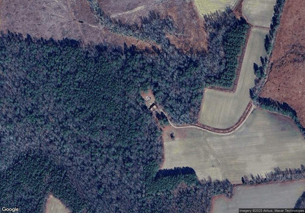
Map
Nearby Homes
- 211 W Central St
- 3379 N Carolina 186
- 304 S Main St
- 214 E Central St
- 0 Big John Store Rd
- 407 Conwell Rd
- 5055 Big Johns Store Rd
- 0 Joe True Ln
- 103 Washington St
- 0 N Carolina 186
- 100 Pine St
- 220 MacOn Price Rd
- 409 Railroad St
- 153 Genus Garner Ln
- 134 Moores Subdivision Rd
- 0 Bryantown Rd
- 735 Galatia Rd
- 00 Moore's Ferry Rd
- 1462 Lebanon Church Rd
- 157 MacOn Price Rd
- 302 Kennedy Dr
- 429 Peanut Market Rd
- 435 Peanut Market Rd
- 435 Peanut Market Rd
- 1 Peanut Market Rd
- 436 Peanut Market Rd
- 414 Peanut Market Rd
- 121 Crocker St
- 203 N Washington St
- 406 Peanut Market Rd
- 101 Norvell St
- 119 Crocker St
- 115 Crocker St
- 210 Jones St
- 201 N Washington St
- 201 N Washington St
- 120 N Main St
- 208 Jones St
- 102 Jones St
- 200 N Washington St
Your Personal Tour Guide
Ask me questions while you tour the home.