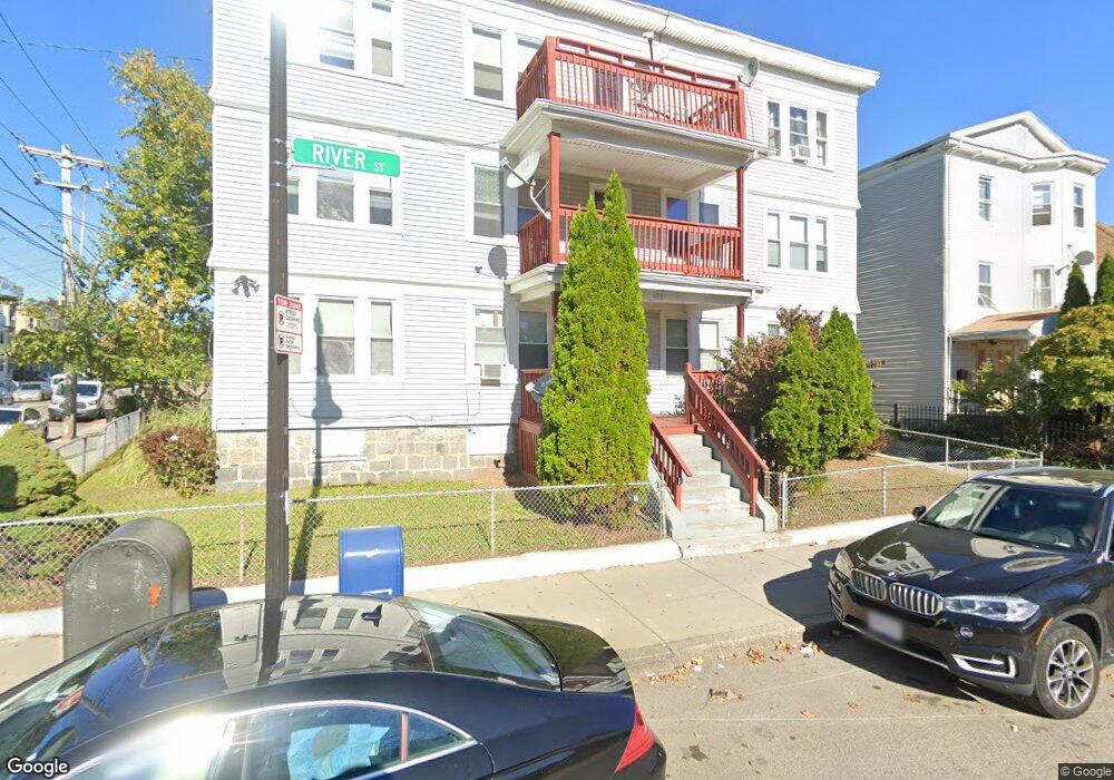
633 River St Unit 3L Mattapan, MA 02126
Southern Mattapan NeighborhoodEstimated Value: $324,000 - $405,252
3
Beds
1
Bath
787
Sq Ft
$485/Sq Ft
Est. Value
About This Home
This home is located at 633 River St Unit 3L, Mattapan, MA 02126 and is currently estimated at $382,063, approximately $485 per square foot. 633 River St Unit 3L is a home located in Suffolk County with nearby schools including KIPP Academy Boston Charter School, Boston Preparatory Charter Public School, and Berea Seventh-day Adventist Academy.
Ownership History
Date
Name
Owned For
Owner Type
Purchase Details
Closed on
Sep 22, 2023
Sold by
Ahern Edward T
Bought by
Cuevas Esmirna L
Current Estimated Value
Home Financials for this Owner
Home Financials are based on the most recent Mortgage that was taken out on this home.
Original Mortgage
$353,115
Outstanding Balance
$345,291
Interest Rate
6.96%
Mortgage Type
Purchase Money Mortgage
Estimated Equity
$36,772
Create a Home Valuation Report for This Property
The Home Valuation Report is an in-depth analysis detailing your home's value as well as a comparison with similar homes in the area
Home Values in the Area
Average Home Value in this Area
Purchase History
| Date | Buyer | Sale Price | Title Company |
|---|---|---|---|
| Cuevas Esmirna L | $399,000 | None Available |
Source: Public Records
Mortgage History
| Date | Status | Borrower | Loan Amount |
|---|---|---|---|
| Open | Cuevas Esmirna L | $353,115 |
Source: Public Records
Tax History Compared to Growth
Tax History
| Year | Tax Paid | Tax Assessment Tax Assessment Total Assessment is a certain percentage of the fair market value that is determined by local assessors to be the total taxable value of land and additions on the property. | Land | Improvement |
|---|---|---|---|---|
| 2025 | $3,919 | $338,400 | $0 | $338,400 |
| 2024 | $2,648 | $242,900 | $0 | $242,900 |
| 2023 | $2,530 | $235,600 | $0 | $235,600 |
| 2022 | $2,396 | $220,200 | $0 | $220,200 |
| 2021 | $2,217 | $207,800 | $0 | $207,800 |
| 2020 | $1,602 | $151,700 | $0 | $151,700 |
| 2019 | $1,455 | $138,000 | $0 | $138,000 |
| 2018 | $1,446 | $138,000 | $0 | $138,000 |
| 2017 | $1,378 | $130,100 | $0 | $130,100 |
| 2016 | $1,389 | $126,300 | $0 | $126,300 |
| 2015 | $1,488 | $122,900 | $0 | $122,900 |
| 2014 | $1,501 | $119,300 | $0 | $119,300 |
Source: Public Records
Map
Nearby Homes
- 645 River St
- 23 Caton St
- 90 Hollingsworth St
- 25 Alpine St Unit 7
- 48-50 Rockdale St
- 20 Massasoit St
- 16 Blue Hill Ave
- 112 Brush Hill Rd
- 42 Osceola St
- 84 Blue Hills Pkwy
- 96 Brook Rd
- 7 Winborough St
- 128 Blue Hills Pkwy
- 770 Cummins Hwy Unit 1
- 770 Cummins Hwy Unit 22
- 16 Concord Ave Unit 1
- 10 Brockton St
- 839-843 Cummins Hwy
- 27 Hawthorn Rd
- 95 Woodhaven St
- 633 River St Unit 3R
- 633 River St Unit 2L
- 633 River St Unit 2R
- 633 River St Unit 1L
- 633 River St Unit 1R
- 633 River St Unit 6
- 9 Rector Rd Unit 11
- 637 River St
- 629 River St
- 629 River St Unit 2
- 629 River St Unit 1
- 629 River St Unit 3
- 643 River St
- 643 River St
- 625 River St
- 8 Rector Rd
- 108 Rockdale St
- 623 River St
- 12 Rector Rd
- 640 River St Unit 3B