Estimated Value: $184,766 - $324,000
3
Beds
2
Baths
1,482
Sq Ft
$165/Sq Ft
Est. Value
About This Home
This home is located at 633 S Texoma Rd, Mead, OK 73449 and is currently estimated at $243,942, approximately $164 per square foot. 633 S Texoma Rd is a home located in Bryan County with nearby schools including Silo Early Childhood Center, Silo Elementary School, and Silo Middle School.
Ownership History
Date
Name
Owned For
Owner Type
Purchase Details
Closed on
Sep 20, 2024
Sold by
Ellis Robert Don and Ellis Robert Phillip
Bought by
Ellis Robert Phillip and Ellis Kalyn Dawn
Current Estimated Value
Purchase Details
Closed on
Jan 28, 2022
Sold by
Don Ellis Sr Robert and Don Phillip Robert
Bought by
Ellis Robert Phillip and Ellis Kalyn Dawn
Purchase Details
Closed on
Jun 23, 2000
Sold by
Ellis Robert and Ellis Minnie
Bought by
Ellis Robert and Ellis Minnie
Purchase Details
Closed on
Aug 12, 1997
Sold by
Murphy Wc and Murphy Lois
Bought by
Murphy Wc
Create a Home Valuation Report for This Property
The Home Valuation Report is an in-depth analysis detailing your home's value as well as a comparison with similar homes in the area
Home Values in the Area
Average Home Value in this Area
Purchase History
| Date | Buyer | Sale Price | Title Company |
|---|---|---|---|
| Ellis Robert Phillip | -- | None Listed On Document | |
| Ellis Robert Phillip | $12,000 | None Listed On Document | |
| Ellis Robert | -- | -- | |
| Murphy Wc | -- | -- |
Source: Public Records
Tax History Compared to Growth
Tax History
| Year | Tax Paid | Tax Assessment Tax Assessment Total Assessment is a certain percentage of the fair market value that is determined by local assessors to be the total taxable value of land and additions on the property. | Land | Improvement |
|---|---|---|---|---|
| 2025 | $571 | $9,179 | $2,997 | $6,182 |
| 2024 | $571 | $8,742 | $2,854 | $5,888 |
| 2023 | $571 | $8,741 | $2,201 | $6,540 |
| 2022 | $571 | $8,741 | $3,006 | $5,735 |
| 2021 | $556 | $8,741 | $3,006 | $5,735 |
| 2020 | $560 | $8,741 | $3,006 | $5,735 |
| 2019 | $568 | $8,741 | $1,943 | $6,798 |
| 2018 | $571 | $8,741 | $1,943 | $6,798 |
| 2017 | $496 | $8,741 | $1,943 | $6,798 |
| 2016 | $496 | $8,741 | $1,943 | $6,798 |
| 2015 | $289 | $5,930 | $500 | $5,430 |
| 2014 | $289 | $5,930 | $500 | $5,430 |
Source: Public Records
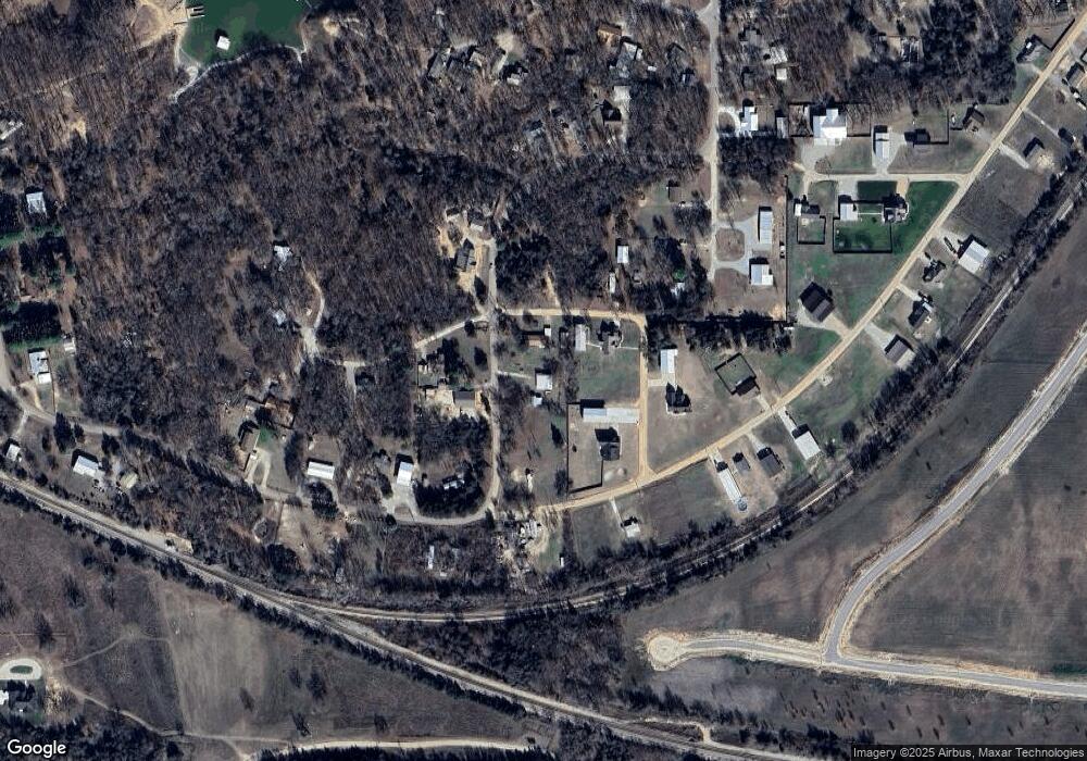
Map
Nearby Homes
- 426 White Dr
- 280 Sunset Way
- 364 Sunset Way
- 300 Sunset Way
- 320 Sunset Way
- 342 Sunset Way
- 802 W Sand Point Rd
- 0 S Texoma Rd
- 429 N Sand Point Rd
- 180 Sunset Cove
- 249 Sunset Cove
- 0 N Sand Point Rd
- 198 Texoma Dr
- 1409 Streetman Rd
- 0 E Sophia Loop Unit 20251214
- 45 W Sophia Loop
- 36 Flounder Rd
- 653 Max Rd
- 65 Bass Dr
- 75 Perch Dr
- 672 S Texoma Rd
- 592 S Texoma Rd
- 62 S Katy Dr
- 745 S Texoma Rd
- 36 S Katy Dr
- 68 Whites Dr
- 117 S Texoma Rd
- 117 W Texoma Rd
- 506 S Texoma Rd
- 105 Jackson Dr
- 133 W Peterson Dr
- 827 S Texoma Rd
- 874 S Texoma Rd
- 91 Streetman Cir
- 413 S Texoma Rd
- 392 S Texoma Rd
- 122 W Peterson Dr
- 0 W Peterson Dr
- 377 S Texoma Rd
- 375 S Texoma Rd