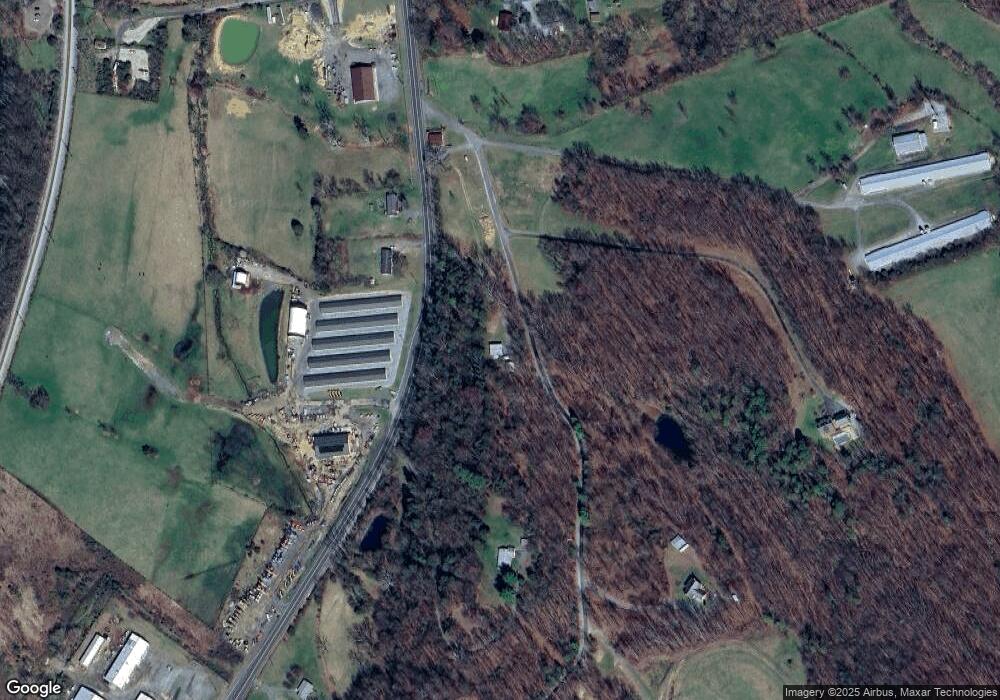
633 South East Side Hwy Elkton, VA 22827
Estimated Value: $246,000 - $272,000
2
Beds
1
Bath
938
Sq Ft
$275/Sq Ft
Est. Value
About This Home
This home is located at 633 South East Side Hwy, Elkton, VA 22827 and is currently estimated at $258,171, approximately $275 per square foot. 633 South East Side Hwy is a home located in Rockingham County with nearby schools including River Bend Elementary School, Elkton Middle School, and East Rockingham High School.
Ownership History
Date
Name
Owned For
Owner Type
Purchase Details
Closed on
Jan 5, 2018
Sold by
Lam Ashby R
Bought by
Lam Matthew Aaron
Current Estimated Value
Home Financials for this Owner
Home Financials are based on the most recent Mortgage that was taken out on this home.
Original Mortgage
$77,400
Outstanding Balance
$54,624
Interest Rate
3.94%
Mortgage Type
New Conventional
Estimated Equity
$203,547
Create a Home Valuation Report for This Property
The Home Valuation Report is an in-depth analysis detailing your home's value as well as a comparison with similar homes in the area
Home Values in the Area
Average Home Value in this Area
Purchase History
| Date | Buyer | Sale Price | Title Company |
|---|---|---|---|
| Lam Matthew Aaron | $115,000 | Stewart Title Guaranty Co |
Source: Public Records
Mortgage History
| Date | Status | Borrower | Loan Amount |
|---|---|---|---|
| Open | Lam Matthew Aaron | $77,400 |
Source: Public Records
Tax History Compared to Growth
Tax History
| Year | Tax Paid | Tax Assessment Tax Assessment Total Assessment is a certain percentage of the fair market value that is determined by local assessors to be the total taxable value of land and additions on the property. | Land | Improvement |
|---|---|---|---|---|
| 2025 | $1,093 | $160,700 | $53,100 | $107,600 |
| 2024 | $1,093 | $160,700 | $53,100 | $107,600 |
| 2023 | $1,093 | $160,700 | $53,100 | $107,600 |
| 2022 | $1,093 | $160,700 | $53,100 | $107,600 |
| 2021 | $878 | $118,700 | $53,100 | $65,600 |
| 2020 | $864 | $116,700 | $53,100 | $63,600 |
| 2019 | $864 | $116,700 | $53,100 | $63,600 |
| 2018 | $870 | $117,600 | $53,100 | $64,500 |
| 2017 | $855 | $115,600 | $53,100 | $62,500 |
| 2016 | $809 | $115,600 | $53,100 | $62,500 |
| 2015 | $775 | $115,600 | $53,100 | $62,500 |
| 2014 | $740 | $115,600 | $53,100 | $62,500 |
Source: Public Records
Map
Nearby Homes
- 16854 E Summit Ave
- 16998 E Summit Ave
- 338 Fairfax Ave
- 307 W Spring Ave
- 317 W Spring Ave
- 0 Spotswood Trail Unit VARO2001360
- 0 Spotswood Trail Unit 637425
- 445 Wirt Ave
- 17160 Mt Pleasant Rd
- 17040 Mount Pleasant Rd
- 205 Lewis Ave
- 212 N Stuart Ave
- 303 Jackson Ave
- 403 Lee Ave
- 508 N Stuart Ave
- 118 Lucas Ln
- 200 Kensington Dr
- 2466 Little Gap Rd
- 1095 Mount Paran Church Rd
- 000 Mount Paran Church Rd
- 633 S East Side Hwy
- 790 South East Side Hwy
- 686 South East Side Hwy
- 664 South East Side Hwy
- 915 Hanse Mountain Ln
- 16536 Sapling Ridge Rd
- 695 Hanse Mountain Ln
- 16534 Sapling Ridge Rd
- 950 Hanse Mountain Ln
- 16624 Sapling Ridge Rd
- 945 South East Side Hwy
- 16688 Sapling Ridge Rd
- 16617 Sapling Ridge Rd
- 16651 Sapling Ridge Rd
- 16669 Sapling Ridge Rd
- 639 Hanse Mountain Ln
- 16711 Sapling Ridge Rd
- 000 Rockingham Pike
- 637 Hanse Mountain Ln
- 0 Jeep Ln Unit 624034
