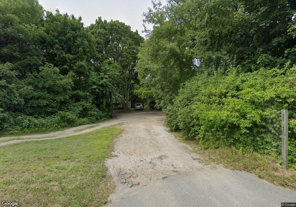
633 State Hwy Rte 6 Unit D Wellfleet, MA 02667
Estimated Value: $361,000 - $570,000
2
Beds
1
Bath
542
Sq Ft
$804/Sq Ft
Est. Value
About This Home
This home is located at 633 State Hwy Rte 6 Unit D, Wellfleet, MA 02667 and is currently estimated at $435,716, approximately $803 per square foot. 633 State Hwy Rte 6 Unit D is a home located in Barnstable County with nearby schools including Wellfleet Elementary School, Nauset Regional Middle School, and Nauset Regional High School.
Ownership History
Date
Name
Owned For
Owner Type
Purchase Details
Closed on
Jun 14, 2016
Sold by
Berry Mary C and Berry Mark S
Bought by
Nelson Mary D
Current Estimated Value
Home Financials for this Owner
Home Financials are based on the most recent Mortgage that was taken out on this home.
Original Mortgage
$101,250
Outstanding Balance
$78,595
Interest Rate
3%
Mortgage Type
Adjustable Rate Mortgage/ARM
Estimated Equity
$357,121
Create a Home Valuation Report for This Property
The Home Valuation Report is an in-depth analysis detailing your home's value as well as a comparison with similar homes in the area
Home Values in the Area
Average Home Value in this Area
Purchase History
| Date | Buyer | Sale Price | Title Company |
|---|---|---|---|
| Nelson Mary D | $135,000 | -- | |
| Nelson Mary D | $135,000 | -- |
Source: Public Records
Mortgage History
| Date | Status | Borrower | Loan Amount |
|---|---|---|---|
| Open | Nelson Mary D | $101,250 | |
| Closed | Nelson Mary D | $101,250 |
Source: Public Records
Tax History Compared to Growth
Tax History
| Year | Tax Paid | Tax Assessment Tax Assessment Total Assessment is a certain percentage of the fair market value that is determined by local assessors to be the total taxable value of land and additions on the property. | Land | Improvement |
|---|---|---|---|---|
| 2025 | $2,289 | $321,900 | $0 | $321,900 |
| 2024 | $2,179 | $319,000 | $0 | $319,000 |
| 2023 | $1,850 | $265,800 | $0 | $265,800 |
| 2022 | $1,498 | $192,500 | $0 | $192,500 |
| 2021 | $1,110 | $141,200 | $0 | $141,200 |
| 2020 | $1,031 | $133,000 | $0 | $133,000 |
| 2019 | $999 | $129,200 | $0 | $129,200 |
| 2018 | $885 | $123,300 | $0 | $123,300 |
| 2017 | $820 | $121,000 | $0 | $121,000 |
| 2016 | $659 | $96,500 | $0 | $96,500 |
| 2015 | $641 | $94,600 | $0 | $94,600 |
Source: Public Records
Map
Nearby Homes
- 90 Blue Heron Rd
- 15 Old Bay Rd
- 95 Barker St
- 46 Spring Brook Rd
- 49 Village Ln
- 11 Whelpley Rd
- 140 Harvest Rd
- 1020 3rd Ave
- 100 Gigi Ln
- 245 Paine Hollow Rd
- 5470 State Hwy
- 95 Old County Rd
- 80 4th St
- 1460 Massasoit Rd
- 344 King Phillip Rd
- 95 Toland Dr
- 1937 State Highway Route 6 Unit E
- 1937 State Highway Route 6 Unit E
- 160 Toland Dr
- 1285 Massasoit Rd
- 633 State Hwy Rte 6 Unit H
- 633 State Hwy Rte 6 Unit G
- 633 State Hwy Rte 6 Unit F
- 633 State Hwy Rte 6 Unit E
- 633 State Hwy Rte 6 Unit C
- 633 State Hwy Rte 6 Unit B
- 633 State Hwy Rte 6 Unit A
- 633 State Hwy Rte 6 Unit 4
- 633 State Hwy Rte 6 Unit 5
- 633 State Hwy Rte 6 Unit 2
- 633 State Hwy Rte 6 Unit 1
- 633 State Hwy Rte 6 Unit 6
- 633 State Hwy Unit 2
- 633 State Hwy Rte 6 Unit F
- 633 State Hwy Unit 1(A)
- 633 State Highway Route 6 Hwy Unit B
- 633 State Highway Route 6 Hwy Unit A
- 633 State Highway Route 6 Hwy
- 633 State Highway Route 6 Hwy Unit 6
- 633 U S 6 Unit 7