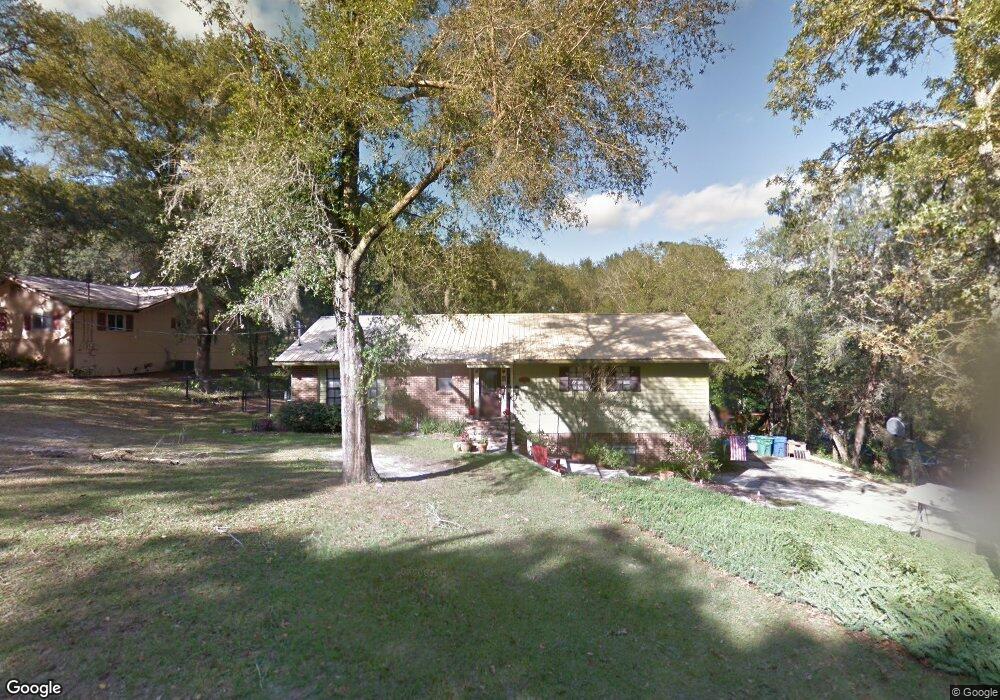
633 Westchester Dr Deland, FL 32724
Estimated Value: $443,875 - $478,000
3
Beds
3
Baths
2,630
Sq Ft
$175/Sq Ft
Est. Value
About This Home
This home is located at 633 Westchester Dr, Deland, FL 32724 and is currently estimated at $461,469, approximately $175 per square foot. 633 Westchester Dr is a home located in Volusia County with nearby schools including Freedom Elementary School, Deland High School, and Deland Middle School.
Ownership History
Date
Name
Owned For
Owner Type
Purchase Details
Closed on
Oct 19, 2007
Sold by
Deluca Gennaro S and Deluca Cynthia M
Bought by
Kloznick Michael and Kloznick Danielle D
Current Estimated Value
Home Financials for this Owner
Home Financials are based on the most recent Mortgage that was taken out on this home.
Original Mortgage
$268,000
Outstanding Balance
$167,740
Interest Rate
6.26%
Mortgage Type
Purchase Money Mortgage
Estimated Equity
$293,729
Purchase Details
Closed on
Apr 15, 1982
Bought by
Kloznick Michael and Kloznick Danielle D
Create a Home Valuation Report for This Property
The Home Valuation Report is an in-depth analysis detailing your home's value as well as a comparison with similar homes in the area
Home Values in the Area
Average Home Value in this Area
Purchase History
| Date | Buyer | Sale Price | Title Company |
|---|---|---|---|
| Kloznick Michael | $335,000 | Deltona Title Insurance Co | |
| Kloznick Michael | $89,800 | -- |
Source: Public Records
Mortgage History
| Date | Status | Borrower | Loan Amount |
|---|---|---|---|
| Open | Kloznick Michael | $268,000 |
Source: Public Records
Tax History Compared to Growth
Tax History
| Year | Tax Paid | Tax Assessment Tax Assessment Total Assessment is a certain percentage of the fair market value that is determined by local assessors to be the total taxable value of land and additions on the property. | Land | Improvement |
|---|---|---|---|---|
| 2025 | $1,865 | $134,695 | -- | -- |
| 2024 | $1,865 | $130,899 | -- | -- |
| 2023 | $1,865 | $127,087 | $0 | $0 |
| 2022 | $1,809 | $123,385 | $0 | $0 |
| 2021 | $1,855 | $119,791 | $0 | $0 |
| 2020 | $1,822 | $118,137 | $0 | $0 |
| 2019 | $1,862 | $115,481 | $0 | $0 |
| 2018 | $1,842 | $113,328 | $0 | $0 |
| 2017 | $1,821 | $110,997 | $0 | $0 |
| 2016 | $1,733 | $108,714 | $0 | $0 |
| 2015 | $1,763 | $107,958 | $0 | $0 |
| 2014 | $1,745 | $107,101 | $0 | $0 |
Source: Public Records
Map
Nearby Homes
- 2032 Yorkshire Dr
- 929 Torchwood Dr
- 2094 Penn Dr
- 889 Torchwood Dr
- 1026 Torchwood Dr
- 257 Huntington Dr
- 2337 Oxmoor Dr
- 1745 Taylor Woods Rd
- 810 E Yorkshire Dr
- 860 Torchwood Dr
- 511 Baroness Way
- 2368 Oxmoor Dr
- 2438 Dartmouth Rd
- 802 Royal Oak Ct
- 1516 Rockwell Heights Dr
- 2412 Regency Park Dr
- 2401 Oxmoor Dr
- 801 Royal Oak Ct
- 574 Lady Grace Place
- 109 Wynot Way
- 657 Westchester Dr
- 619 Westchester Dr
- 673 Westchester Dr
- 954 Torchwood Dr
- 950 Torchwood Dr
- 958 Torchwood Dr Unit 3
- 403 Westchester Dr
- 1960 Yorkshire Dr
- 608 Westchester Dr
- 946 Torchwood Dr
- 962 Torchwood Dr
- 2004 Pennsylvania Dr
- 689 Westchester Dr
- 604 Westchester Dr
- 2011 Pennsylvania Dr
- 1976 Yorkshire Dr
- 942 Torchwood Dr
- 2008 Pennsylvania Dr
- 966 Torchwood Dr
- 363 Westchester Dr