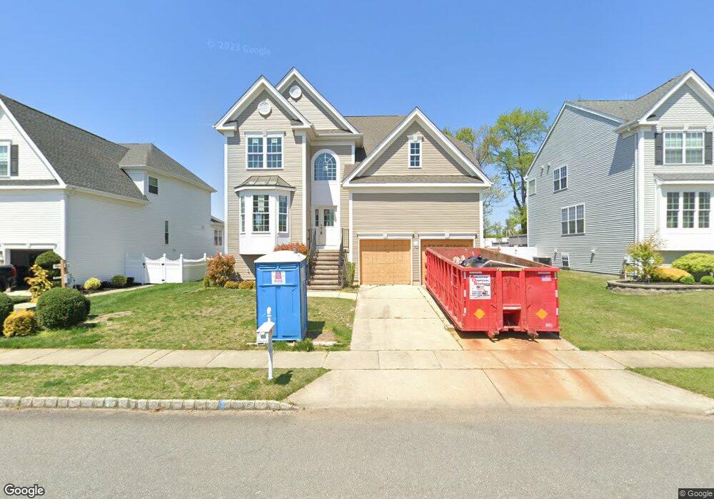
633 Worcester Dr West Deptford, NJ 08086
West Deptford Township NeighborhoodEstimated Value: $567,309 - $622,000
4
Beds
3
Baths
2,666
Sq Ft
$220/Sq Ft
Est. Value
About This Home
This home is located at 633 Worcester Dr, West Deptford, NJ 08086 and is currently estimated at $586,327, approximately $219 per square foot. 633 Worcester Dr is a home located in Gloucester County with nearby schools including Green-Fields Elementary School, Red Bank Elementary School, and Oakview Elementary School.
Ownership History
Date
Name
Owned For
Owner Type
Purchase Details
Closed on
Oct 28, 2005
Sold by
D R Horton Inc New Jersey
Bought by
Capasso Carl J and Capasso Darlene M
Current Estimated Value
Home Financials for this Owner
Home Financials are based on the most recent Mortgage that was taken out on this home.
Original Mortgage
$190,000
Outstanding Balance
$102,892
Interest Rate
5.85%
Mortgage Type
Fannie Mae Freddie Mac
Estimated Equity
$483,435
Create a Home Valuation Report for This Property
The Home Valuation Report is an in-depth analysis detailing your home's value as well as a comparison with similar homes in the area
Home Values in the Area
Average Home Value in this Area
Purchase History
| Date | Buyer | Sale Price | Title Company |
|---|---|---|---|
| Capasso Carl J | $305,670 | Title America |
Source: Public Records
Mortgage History
| Date | Status | Borrower | Loan Amount |
|---|---|---|---|
| Open | Capasso Carl J | $190,000 |
Source: Public Records
Tax History Compared to Growth
Tax History
| Year | Tax Paid | Tax Assessment Tax Assessment Total Assessment is a certain percentage of the fair market value that is determined by local assessors to be the total taxable value of land and additions on the property. | Land | Improvement |
|---|---|---|---|---|
| 2025 | $11,359 | $325,300 | $63,700 | $261,600 |
| 2024 | $5,822 | $325,300 | $63,700 | $261,600 |
| 2023 | $5,822 | $168,900 | $63,700 | $105,200 |
| 2022 | $5,795 | $168,900 | $63,700 | $105,200 |
| 2021 | $10,614 | $311,100 | $63,700 | $247,400 |
| 2020 | $10,612 | $311,100 | $63,700 | $247,400 |
| 2019 | $10,316 | $311,100 | $63,700 | $247,400 |
| 2018 | $10,036 | $311,100 | $63,700 | $247,400 |
| 2017 | $9,803 | $311,100 | $63,700 | $247,400 |
| 2016 | $9,529 | $311,100 | $63,700 | $247,400 |
| 2015 | $9,492 | $325,300 | $63,700 | $261,600 |
| 2014 | $9,021 | $325,300 | $63,700 | $261,600 |
Source: Public Records
Map
Nearby Homes
- 640 Worcester Dr
- 863 Doncaster Dr
- 740 Carter Hill Dr
- 87 Woodway Dr Unit 87
- 1091 Buckingham Dr Unit 45
- 12 Highbridge Ln Unit I2
- 125 Lionheart Ln Unit C125
- 1012 Moore Rd Unit 6
- 1066 Buckingham Dr
- 1220 Royal Ln
- 1102 Barnesdale Rd
- 1311 Barnesdale Rd
- 4 Saint Emilion Ct
- 1810 Fernwood Dr
- 97 Church St
- 64 Tilden Rd
- 247 Crown Point Rd
- 1054 Kings Hwy
- 94 Aviary Rd
- 433 Crown Point Rd
- 635 Worcester Dr
- 631 Worcester Dr
- 637 Worcester Dr
- 629 Worcester Dr
- 634 Worcester Dr
- 632 Worcester Dr
- 639 Worcester Dr
- 636 Worcester Dr
- 627 Worcester Dr
- 630 Worcester Dr
- 638 Worcester Dr
- 628 Worcester Dr
- 641 Worcester Dr
- 625 Worcester Dr
- 666 Worcester Dr
- 664 Worcester Dr
- 626 Worcester Dr
- 662 Worcester Dr
- 668 Worcester Dr
- 660 Worcester Dr