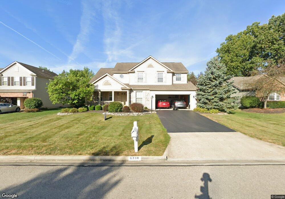
6330 Commonwealth Dr Westerville, OH 43082
Genoa NeighborhoodEstimated Value: $547,596 - $597,000
3
Beds
3
Baths
2,627
Sq Ft
$217/Sq Ft
Est. Value
About This Home
This home is located at 6330 Commonwealth Dr, Westerville, OH 43082 and is currently estimated at $571,149, approximately $217 per square foot. 6330 Commonwealth Dr is a home located in Delaware County with nearby schools including Fouse Elementary School, Genoa Middle School, and Westerville Central High School.
Ownership History
Date
Name
Owned For
Owner Type
Purchase Details
Closed on
Oct 4, 2001
Sold by
M/I Schottenstein Homes
Bought by
Brooks Benjamin P and Brooks Joanne K
Current Estimated Value
Home Financials for this Owner
Home Financials are based on the most recent Mortgage that was taken out on this home.
Original Mortgage
$217,450
Outstanding Balance
$85,739
Interest Rate
6.99%
Mortgage Type
New Conventional
Estimated Equity
$485,410
Create a Home Valuation Report for This Property
The Home Valuation Report is an in-depth analysis detailing your home's value as well as a comparison with similar homes in the area
Home Values in the Area
Average Home Value in this Area
Purchase History
| Date | Buyer | Sale Price | Title Company |
|---|---|---|---|
| Brooks Benjamin P | $271,885 | -- |
Source: Public Records
Mortgage History
| Date | Status | Borrower | Loan Amount |
|---|---|---|---|
| Open | Brooks Benjamin P | $217,450 |
Source: Public Records
Tax History Compared to Growth
Tax History
| Year | Tax Paid | Tax Assessment Tax Assessment Total Assessment is a certain percentage of the fair market value that is determined by local assessors to be the total taxable value of land and additions on the property. | Land | Improvement |
|---|---|---|---|---|
| 2024 | $8,407 | $161,980 | $32,550 | $129,430 |
| 2023 | $8,242 | $161,980 | $32,550 | $129,430 |
| 2022 | $8,231 | $124,500 | $21,000 | $103,500 |
| 2021 | $8,313 | $124,500 | $21,000 | $103,500 |
| 2020 | $8,363 | $124,500 | $21,000 | $103,500 |
| 2019 | $7,608 | $108,710 | $21,000 | $87,710 |
| 2018 | $7,367 | $108,710 | $21,000 | $87,710 |
| 2017 | $7,177 | $98,710 | $16,980 | $81,730 |
| 2016 | $7,195 | $98,710 | $16,980 | $81,730 |
| 2015 | $7,137 | $98,710 | $16,980 | $81,730 |
| 2014 | $7,032 | $98,710 | $16,980 | $81,730 |
| 2013 | $6,823 | $96,330 | $16,980 | $79,350 |
Source: Public Records
Map
Nearby Homes
- 6573 Kenwood Place
- 6014 Commonwealth Dr
- 5983 Congressional Dr
- 5633 Travis Pointe Ct
- 6623 Henschen Cir
- 5552 Quail Hollow Way
- 5444 Quail Hollow Way
- 5515 Stillwater Ave
- 5532 Meadowood Ln
- 0 Paul Rd Unit 225001038
- 4620 Alston Grove Dr
- 5259 Sorrento Ct
- 5815 Prospect Ln
- 6410 Steinbeck Way
- 5611 Genoa Farms Blvd
- 5462 Ketterington Ln
- 6319 Heritage Place
- 7373 Frasier Rd
- 5731 Salem Dr
- 4960 Hawthorne Valley Dr
- 6342 Commonwealth Dr
- 6411 Grasslands Ct
- 6356 Commonwealth Dr
- 6429 Grasslands Ct
- 6304 Commonwealth Dr
- 6327 Commonwealth Dr
- 6399 Grasslands Ct
- 6311 Commonwealth Dr
- 6341 Commonwealth Dr
- 6447 Grasslands Ct
- 6368 Commonwealth Dr
- 6355 Commonwealth Dr
- 6292 Commonwealth Dr
- 6383 Grasslands Ct
- 6367 Commonwealth Dr
- 6314 Champions Dr
- 6326 Champions Dr
- 6300 Champions Dr
- 6386 Commonwealth Dr
- 6280 Commonwealth Dr
