6330 Dyer Rd Turner, MI 48765
Estimated Value: $47,297 - $121,000
2
Beds
1
Bath
808
Sq Ft
$108/Sq Ft
Est. Value
About This Home
This home is located at 6330 Dyer Rd, Turner, MI 48765 and is currently estimated at $87,324, approximately $108 per square foot. 6330 Dyer Rd is a home located in Iosco County with nearby schools including Whittemore-Prescott Elementary School and Whittemore-Prescott Junior/Senior High School.
Ownership History
Date
Name
Owned For
Owner Type
Purchase Details
Closed on
May 13, 2024
Sold by
Meikle Robert and Meikle Tina
Bought by
White Cameron
Current Estimated Value
Purchase Details
Closed on
Jul 7, 2023
Sold by
Meikle Justin
Bought by
Meikle Robert and Meikle Tina
Purchase Details
Closed on
Apr 25, 2018
Sold by
Cheryl Ann White T 1
Bought by
Meikle Justin
Home Financials for this Owner
Home Financials are based on the most recent Mortgage that was taken out on this home.
Original Mortgage
$27,625
Interest Rate
4.44%
Mortgage Type
Purchase Money Mortgage
Create a Home Valuation Report for This Property
The Home Valuation Report is an in-depth analysis detailing your home's value as well as a comparison with similar homes in the area
Purchase History
| Date | Buyer | Sale Price | Title Company |
|---|---|---|---|
| White Cameron | $34,500 | None Listed On Document | |
| Meikle Robert | -- | None Listed On Document | |
| Meikle Justin | $32,500 | -- |
Source: Public Records
Mortgage History
| Date | Status | Borrower | Loan Amount |
|---|---|---|---|
| Previous Owner | Meikle Justin | $27,625 |
Source: Public Records
Tax History
| Year | Tax Paid | Tax Assessment Tax Assessment Total Assessment is a certain percentage of the fair market value that is determined by local assessors to be the total taxable value of land and additions on the property. | Land | Improvement |
|---|---|---|---|---|
| 2025 | $316 | $27,650 | $27,650 | $0 |
| 2024 | $531 | $29,750 | $0 | $0 |
| 2023 | $146 | $24,700 | $24,700 | $0 |
| 2022 | $503 | $16,450 | $16,450 | $0 |
| 2021 | $470 | $15,200 | $15,200 | $0 |
| 2020 | $454 | $16,100 | $16,100 | $0 |
| 2019 | $285 | $13,000 | $13,000 | $0 |
| 2018 | $269 | $12,700 | $12,700 | $0 |
| 2017 | $251 | $11,900 | $11,900 | $0 |
| 2016 | $247 | $11,900 | $0 | $0 |
| 2015 | -- | $13,100 | $0 | $0 |
| 2014 | -- | $14,600 | $0 | $0 |
| 2013 | -- | $16,700 | $0 | $0 |
Source: Public Records
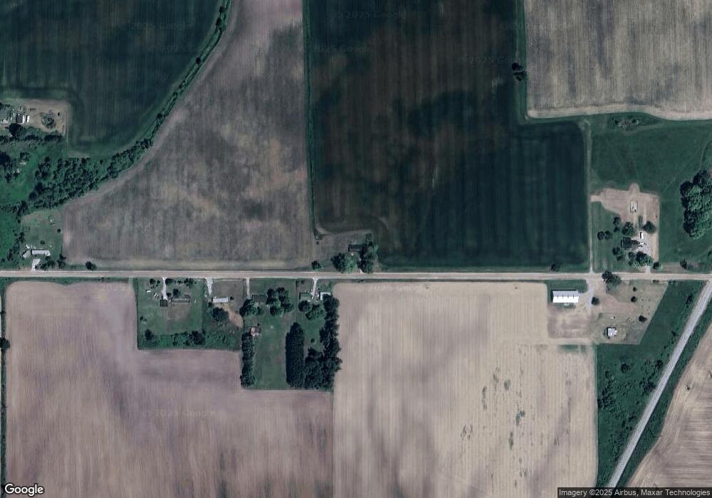
Map
Nearby Homes
- 6824 Keystone Rd
- 6686 Keystone Rd
- 77 W Mason Rd
- 5363 Keystone Rd
- 388 W Lagrant Rd
- 1240 N Young Rd
- N/A Crosby Rd
- N/A Lehman Rd
- 1831 Kitchen Rd
- 7207 Prescott Rd
- 1409 N Crawford Rd
- 311 W State St
- 316 S Bullock St
- 1870 Michigan 65
- 100 & 102 S Bullock St
- 227 N Lehman Rd
- 00 Maple Ridge Rd
- 00 S Crawford Rd
- 837 W Jose Rd
- 5229 Sage Lake Rd
- 6379 Dyer Rd
- 6393 Dyer Rd
- 6393 Dyer Rd
- 6399 Dyer Rd
- 6399 Dyer Rd
- 6413 Dyer Rd
- 6413 Dyer Rd
- 6258 Dyer Rd
- 6476 Dyer Rd
- 3935 Towerline Rd
- 0 Towerline Rd Unit 1780358
- 0 Towerline Rd Unit 1882041
- 2559 Shaffer Rd
- 2615 Shaffer Rd
- 2615 Shaffer Rd
- 2552 Lentner Rd
- 2487 Lentner Rd
- 6723 Dyer Rd
- 3830 Towerline Rd
- 7136 Dyer Rd
Your Personal Tour Guide
Ask me questions while you tour the home.