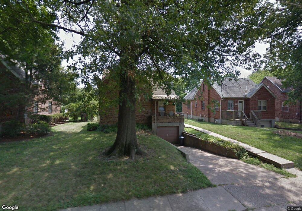
6330 Elbrook Ave Cincinnati, OH 45237
Estimated Value: $195,000 - $249,000
3
Beds
1
Bath
1,539
Sq Ft
$139/Sq Ft
Est. Value
About This Home
This home is located at 6330 Elbrook Ave, Cincinnati, OH 45237 and is currently estimated at $214,665, approximately $139 per square foot. 6330 Elbrook Ave is a home located in Hamilton County with nearby schools including Pleasant Ridge Montessori School, Shroder High School, and Clark Montessori High School.
Ownership History
Date
Name
Owned For
Owner Type
Purchase Details
Closed on
Jul 17, 1997
Sold by
Bailey Ted Alonzo and Bailey Cassandra E
Bought by
Angel James L and Angel Diane
Current Estimated Value
Home Financials for this Owner
Home Financials are based on the most recent Mortgage that was taken out on this home.
Original Mortgage
$76,500
Outstanding Balance
$9,252
Interest Rate
7.71%
Mortgage Type
VA
Estimated Equity
$205,413
Create a Home Valuation Report for This Property
The Home Valuation Report is an in-depth analysis detailing your home's value as well as a comparison with similar homes in the area
Home Values in the Area
Average Home Value in this Area
Purchase History
| Date | Buyer | Sale Price | Title Company |
|---|---|---|---|
| Angel James L | $75,000 | Midland Title Security Inc |
Source: Public Records
Mortgage History
| Date | Status | Borrower | Loan Amount |
|---|---|---|---|
| Open | Angel James L | $76,500 |
Source: Public Records
Tax History
| Year | Tax Paid | Tax Assessment Tax Assessment Total Assessment is a certain percentage of the fair market value that is determined by local assessors to be the total taxable value of land and additions on the property. | Land | Improvement |
|---|---|---|---|---|
| 2025 | $3,442 | $48,069 | $9,723 | $38,346 |
| 2024 | $3,346 | $48,069 | $9,723 | $38,346 |
| 2023 | $3,415 | $48,069 | $9,723 | $38,346 |
| 2022 | $2,537 | $27,923 | $6,279 | $21,644 |
| 2021 | $2,457 | $27,923 | $6,279 | $21,644 |
| 2020 | $2,504 | $27,923 | $6,279 | $21,644 |
| 2019 | $2,508 | $24,714 | $5,558 | $19,156 |
| 2018 | $2,463 | $24,714 | $5,558 | $19,156 |
| 2017 | $2,393 | $24,714 | $5,558 | $19,156 |
| 2016 | $2,521 | $25,781 | $6,174 | $19,607 |
| 2015 | $2,347 | $25,781 | $6,174 | $19,607 |
| 2014 | $2,231 | $25,781 | $6,174 | $19,607 |
| 2013 | $2,253 | $25,781 | $6,174 | $19,607 |
Source: Public Records
Map
Nearby Homes
- 6211 Mayflower Ave
- 2327 Losantiville Ave
- 6202 Mayflower Ave
- 2344 Losantiville Ave
- 6025 Mayflower Ave
- 2526 Bremont Ave
- 7119 Eastlawn Dr
- 6750 Elbrook Ave
- 6770 Elbrook Ave
- 2537 Vera Ave
- 2539 Vera Ave
- 2541 Vera Ave
- 2063 E Seymour Ave
- 2543 Vera Ave
- 1849 Greenbriar Place
- 2758 Losantiridge Ave
- 2806 Losantiridge Ave
- 2206 Varelman Ave
- 2210 Varelman Ave
- 5721 Carthage Ave
- 6326 Elbrook Ave
- 6334 Elbrook Ave
- 6338 Elbrook Ave
- 6318 Elbrook Ave
- 6331 Mayflower Ave
- 6327 Mayflower Ave
- 6335 Mayflower Ave
- 6342 Elbrook Ave
- 6323 Mayflower Ave
- 6314 Elbrook Ave
- 6343 Mayflower Ave
- 6319 Mayflower Ave
- 6331 Elbrook Ave
- 6327 Elbrook Ave
- 6335 Elbrook Ave
- 6339 Elbrook Ave
- 6323 Elbrook Ave
- 6310 Elbrook Ave
- 6343 Elbrook Ave
- 6315 Mayflower Ave
Your Personal Tour Guide
Ask me questions while you tour the home.