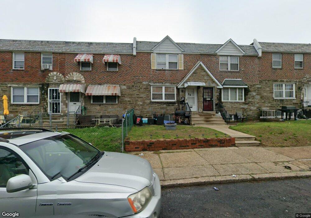
6330 Sylvester St Philadelphia, PA 19149
Castor Gardens NeighborhoodEstimated Value: $173,000 - $219,000
3
Beds
1
Bath
1,152
Sq Ft
$176/Sq Ft
Est. Value
About This Home
This home is located at 6330 Sylvester St, Philadelphia, PA 19149 and is currently estimated at $202,183, approximately $175 per square foot. 6330 Sylvester St is a home located in Philadelphia County with nearby schools including Gilbert Spruance School, Northeast High School, and St Martin Of Tours Catholic School.
Ownership History
Date
Name
Owned For
Owner Type
Purchase Details
Closed on
Nov 24, 2001
Sold by
Williams Raymond and Williams Teresa
Bought by
Cardona Carlos
Current Estimated Value
Home Financials for this Owner
Home Financials are based on the most recent Mortgage that was taken out on this home.
Original Mortgage
$64,452
Interest Rate
6.88%
Mortgage Type
FHA
Create a Home Valuation Report for This Property
The Home Valuation Report is an in-depth analysis detailing your home's value as well as a comparison with similar homes in the area
Home Values in the Area
Average Home Value in this Area
Purchase History
| Date | Buyer | Sale Price | Title Company |
|---|---|---|---|
| Cardona Carlos | $65,000 | -- |
Source: Public Records
Mortgage History
| Date | Status | Borrower | Loan Amount |
|---|---|---|---|
| Previous Owner | Cardona Carlos | $64,452 |
Source: Public Records
Tax History Compared to Growth
Tax History
| Year | Tax Paid | Tax Assessment Tax Assessment Total Assessment is a certain percentage of the fair market value that is determined by local assessors to be the total taxable value of land and additions on the property. | Land | Improvement |
|---|---|---|---|---|
| 2026 | $2,450 | $203,500 | $40,700 | $162,800 |
| 2025 | $2,450 | $203,500 | $40,700 | $162,800 |
| 2024 | $2,450 | $203,500 | $40,700 | $162,800 |
| 2023 | $2,450 | $175,000 | $35,000 | $140,000 |
| 2022 | $2,450 | $175,000 | $35,000 | $140,000 |
| 2021 | $1,804 | $0 | $0 | $0 |
| 2020 | $1,804 | $0 | $0 | $0 |
| 2019 | $1,732 | $0 | $0 | $0 |
| 2018 | $1,606 | $0 | $0 | $0 |
| 2017 | $1,606 | $0 | $0 | $0 |
| 2016 | $1,606 | $0 | $0 | $0 |
| 2015 | $1,537 | $0 | $0 | $0 |
| 2014 | -- | $114,700 | $19,990 | $94,710 |
| 2012 | -- | $14,464 | $1,489 | $12,975 |
Source: Public Records
Map
Nearby Homes
- 2001R Mckinley St
- 1535 Hellerman St
- 1500 Hellerman St
- 1453 Mckinley St
- 1440 Robbins Ave
- 1531 Stevens St
- 1427 Robbins Ave
- 1551 Lardner St
- 1548 Lardner St
- 2003 Devereaux Ave
- 6239 Castor Ave
- 1414 Mckinley St
- 1507 Benner St
- 6621 Sylvester St
- 2019 Devereaux Ave
- 6627 Oakland St
- 6306 Leonard St
- 6135 Castor Ave
- 6640 Souder St
- 6626 Lynford St
- 6332 Sylvester St
- 6334 Sylvester St
- 6336 Sylvester St
- 6328 Sylvester St
- 6338 Sylvester St
- 6326 Sylvester St
- 6340 Sylvester St
- 6333 Horrocks St
- 6324 Sylvester St
- 6335 Horrocks St
- 6331 Horrocks St
- 6329 Horrocks St
- 6342 Sylvester St
- 6337 Horrocks St
- 6327 Horrocks St
- 6339 Horrocks St
- 6344 Sylvester St
- 6322 Sylvester St
- 6325 Horrocks St
- 6341 Horrocks St