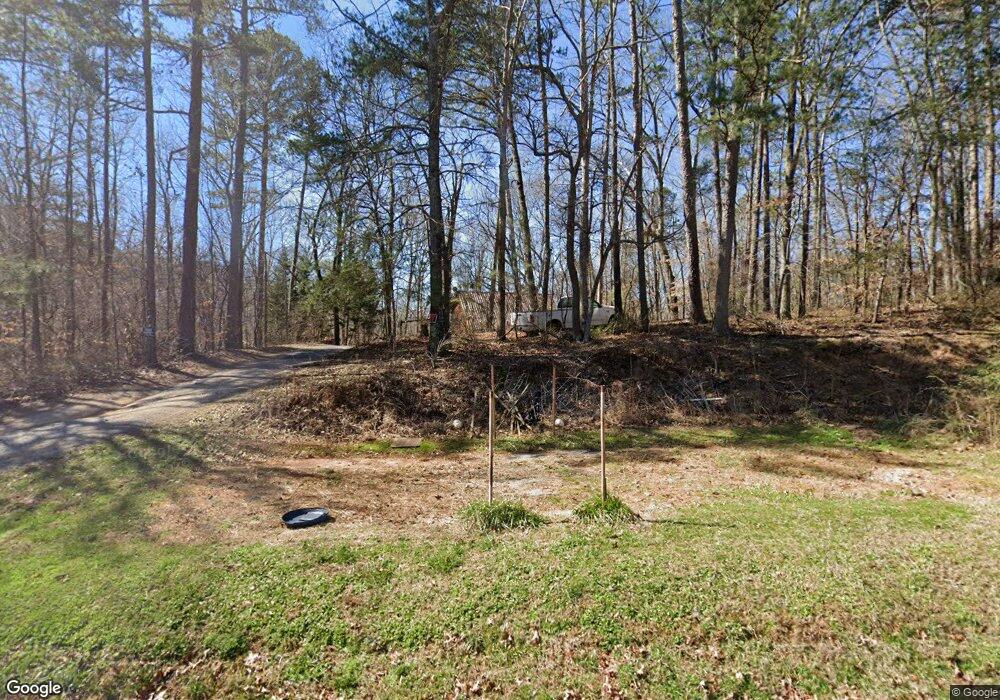
6331 Knox Bridge Hwy Canton, GA 30114
Sutallee NeighborhoodEstimated Value: $361,000 - $453,000
2
Beds
2
Baths
2,320
Sq Ft
$171/Sq Ft
Est. Value
About This Home
This home is located at 6331 Knox Bridge Hwy, Canton, GA 30114 and is currently estimated at $396,512, approximately $170 per square foot. 6331 Knox Bridge Hwy is a home located in Cherokee County with nearby schools including J. Knox Elementary School, Teasley Middle School, and Cherokee High School.
Ownership History
Date
Name
Owned For
Owner Type
Purchase Details
Closed on
Mar 14, 2024
Sold by
Cook Carl Reid
Bought by
Cook Carl Reid and Rybolt Tamra
Current Estimated Value
Purchase Details
Closed on
May 20, 2022
Sold by
Mohar Jeffrey Thomas Estate
Bought by
Cook Carl Reid
Home Financials for this Owner
Home Financials are based on the most recent Mortgage that was taken out on this home.
Original Mortgage
$270,000
Interest Rate
5.11%
Mortgage Type
New Conventional
Purchase Details
Closed on
Aug 21, 1998
Sold by
Mohar Angela C
Bought by
Mohar Jeff and Mohar Angela C
Home Financials for this Owner
Home Financials are based on the most recent Mortgage that was taken out on this home.
Original Mortgage
$105,000
Interest Rate
6.96%
Mortgage Type
New Conventional
Create a Home Valuation Report for This Property
The Home Valuation Report is an in-depth analysis detailing your home's value as well as a comparison with similar homes in the area
Home Values in the Area
Average Home Value in this Area
Purchase History
| Date | Buyer | Sale Price | Title Company |
|---|---|---|---|
| Cook Carl Reid | -- | -- | |
| Cook Carl Reid | $300,000 | -- | |
| Mohar Jeff | -- | -- | |
| Mohari Angela C | -- | -- |
Source: Public Records
Mortgage History
| Date | Status | Borrower | Loan Amount |
|---|---|---|---|
| Previous Owner | Cook Carl Reid | $270,000 | |
| Previous Owner | Mohari Angela C | $105,000 |
Source: Public Records
Tax History Compared to Growth
Tax History
| Year | Tax Paid | Tax Assessment Tax Assessment Total Assessment is a certain percentage of the fair market value that is determined by local assessors to be the total taxable value of land and additions on the property. | Land | Improvement |
|---|---|---|---|---|
| 2025 | $3,387 | $128,980 | $19,800 | $109,180 |
| 2024 | $3,383 | $130,192 | $19,800 | $110,392 |
| 2023 | $3,365 | $129,484 | $19,800 | $109,684 |
| 2022 | $647 | $100,936 | $19,800 | $81,136 |
| 2021 | $2,339 | $88,548 | $19,800 | $68,748 |
| 2020 | $1,967 | $72,440 | $14,400 | $58,040 |
| 2019 | $1,720 | $62,760 | $14,400 | $48,360 |
| 2018 | $1,579 | $57,480 | $14,400 | $43,080 |
| 2017 | $1,357 | $143,000 | $14,400 | $42,800 |
| 2016 | $1,357 | $122,300 | $14,400 | $34,520 |
| 2015 | $1,253 | $112,300 | $14,400 | $30,520 |
| 2014 | $1,215 | $108,900 | $14,400 | $29,160 |
Source: Public Records
Map
Nearby Homes
- 133 Copper Hills Dr
- 6261 Knox Bridge Hwy
- 148 Copper Hills Dr
- 305 Blake Dr Unit 1
- 710 Bedford Trace Unit 3
- 402 Eileen Cir
- 192 Saxon Ct
- 328 Allatoona Shores Dr
- 405 Trumpet Cir
- 510 Millwood Ct
- 320 River Green Ave
- 208 Westbury Ct
- 537 Oriole Farm Trail Unit 4L
- 1209 Lakeside Overlook
- 708 Woodlake Ct
- 601 Shelter Cove
- 7840 Knox Bridge Hwy
- 845 Lakemont Dr
- 511 Highwater Pass
- 551 Harvey Fields Rd
- 631 Knox Bridge Trail
- 457 Knox Bridge Trail
- 205 Knox Bridge Trail
- 205 Knox Bridge Trail
- 420 Knox Bridge Trail
- 211 Montana Way
- 0 Knox Bridge Lot 17 Hwy Unit 7040848
- 0 Knox Bridge Lot 17 Hwy Unit 10028203
- 209 Montana Way
- 357 Knox Bridge Hwy
- 213 Montana Way
- 445 Knox Bridge Trail
- 655 Knox Bridge Trail
- 215 Montana Way
- 204 Montana Way
- 205 Montana Way Unit 2
- 207 Montana Way
- 217 Montana Way Unit 217
- 217 Montana Way Unit 2
- 217 Montana Way
