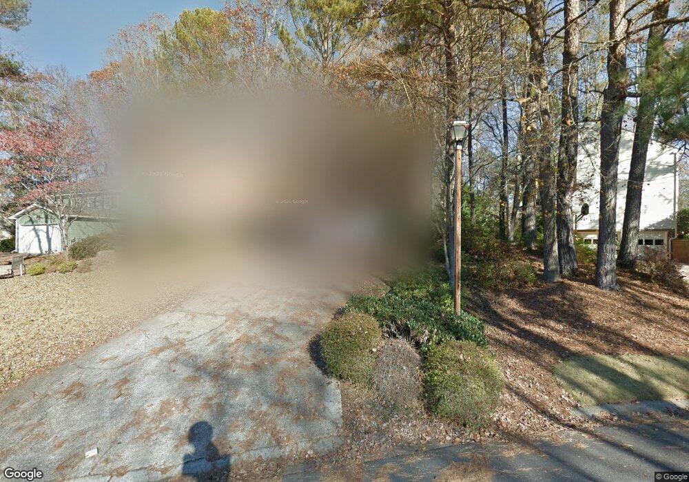
6331 Station Mill Dr Norcross, GA 30092
Estimated Value: $568,000 - $603,000
4
Beds
3
Baths
2,546
Sq Ft
$228/Sq Ft
Est. Value
About This Home
This home is located at 6331 Station Mill Dr, Norcross, GA 30092 and is currently estimated at $581,133, approximately $228 per square foot. 6331 Station Mill Dr is a home located in Gwinnett County with nearby schools including Simpson Elementary School, Pinckneyville Middle School, and Norcross High School.
Ownership History
Date
Name
Owned For
Owner Type
Purchase Details
Closed on
Jun 25, 2012
Sold by
Hammock David N
Bought by
Hammock Anne Marie
Current Estimated Value
Home Financials for this Owner
Home Financials are based on the most recent Mortgage that was taken out on this home.
Original Mortgage
$224,000
Outstanding Balance
$154,395
Interest Rate
3.79%
Mortgage Type
New Conventional
Estimated Equity
$426,738
Purchase Details
Closed on
Jun 4, 2007
Sold by
Ramey Linda W
Bought by
Hammock David N and Hammock Anne M
Home Financials for this Owner
Home Financials are based on the most recent Mortgage that was taken out on this home.
Original Mortgage
$232,500
Interest Rate
6.16%
Mortgage Type
New Conventional
Create a Home Valuation Report for This Property
The Home Valuation Report is an in-depth analysis detailing your home's value as well as a comparison with similar homes in the area
Home Values in the Area
Average Home Value in this Area
Purchase History
| Date | Buyer | Sale Price | Title Company |
|---|---|---|---|
| Hammock Anne Marie | -- | -- | |
| Hammock David N | $292,500 | -- |
Source: Public Records
Mortgage History
| Date | Status | Borrower | Loan Amount |
|---|---|---|---|
| Open | Hammock Anne Marie | $224,000 | |
| Previous Owner | Hammock David N | $232,500 |
Source: Public Records
Tax History Compared to Growth
Tax History
| Year | Tax Paid | Tax Assessment Tax Assessment Total Assessment is a certain percentage of the fair market value that is determined by local assessors to be the total taxable value of land and additions on the property. | Land | Improvement |
|---|---|---|---|---|
| 2025 | $6,519 | $235,760 | $50,160 | $185,600 |
| 2024 | $5,756 | $191,240 | $38,800 | $152,440 |
| 2023 | $5,756 | $191,240 | $38,800 | $152,440 |
| 2022 | $5,475 | $177,320 | $38,800 | $138,520 |
| 2021 | $5,016 | $150,360 | $32,400 | $117,960 |
| 2020 | $4,928 | $144,800 | $29,280 | $115,520 |
| 2019 | $4,512 | $132,960 | $26,000 | $106,960 |
| 2018 | $4,287 | $122,000 | $24,000 | $98,000 |
| 2016 | $3,775 | $108,160 | $18,000 | $90,160 |
| 2015 | $3,819 | $108,160 | $18,000 | $90,160 |
| 2014 | -- | $94,760 | $18,000 | $76,760 |
Source: Public Records
Map
Nearby Homes
- 4291 River Bottom Dr
- 4405 River Trail Dr
- 4410 River Trail Dr Unit 383
- 6169 Poplar Bluff Cir
- 6425 Deerings Ln Unit 6425
- 6433 Deerings Ln
- 6501 Deerings Ln Unit 6501
- 6538 Deerings Ln
- 6550 Deerings Ln
- 6530 Deerings Ln
- 6040 Neely Farm Dr Unit 3
- 5970 Rachel Ridge Unit 2
- 6509 Deerings Ln
- 4575 Dairy Way
- 0 Hawk Run Unit 7571401
- 0 Hawk Run
- 8103 Lawnview
- 3710 Wedgewood Chase Unit 22
- 3910 Spalding Bluff Dr
- 4219 Old Bridge Ln
- 6315 Broomsedge Trail
- 6305 Broomsedge Trail
- 6305 Broomsedge Trail
- 6305 Broomsedge Trail Unit 6305
- 4229 Old Bridge Ln
- 4190 River Bottom Dr
- 6336 Station Mill Dr
- 0 Broomsedge Trail NW Unit 8821680
- 0 Broomsedge Trail NW Unit 7615474
- 0 Broomsedge Trail NW Unit 7530124
- 0 Broomsedge Trail NW Unit 7133392
- 0 Broomsedge Trail NW Unit 3106201
- 0 Broomsedge Trail NW
- 4220 Old Bridge Ln
- 6324 Station Mill Dr
- 6295 Broomsedge Trail Unit 2
- 4239 Old Bridge Ln
- 6319 Station Mill Dr
- 6304 Broomsedge Trail