63310 O B Riley Rd Bend, OR 97703
Boyd Acres NeighborhoodEstimated Value: $789,000 - $1,186,000
4
Beds
3
Baths
3,200
Sq Ft
$313/Sq Ft
Est. Value
About This Home
This home is located at 63310 O B Riley Rd, Bend, OR 97703 and is currently estimated at $1,000,728, approximately $312 per square foot. 63310 O B Riley Rd is a home located in Deschutes County with nearby schools including North Star Elementary School, Sky View Middle School, and Mountain View Senior High School.
Ownership History
Date
Name
Owned For
Owner Type
Purchase Details
Closed on
Feb 28, 2022
Sold by
Defoe Donald R
Bought by
Defoe Family Trust
Current Estimated Value
Create a Home Valuation Report for This Property
The Home Valuation Report is an in-depth analysis detailing your home's value as well as a comparison with similar homes in the area
Home Values in the Area
Average Home Value in this Area
Purchase History
| Date | Buyer | Sale Price | Title Company |
|---|---|---|---|
| Defoe Family Trust | -- | Hurley Re Pc |
Source: Public Records
Tax History Compared to Growth
Tax History
| Year | Tax Paid | Tax Assessment Tax Assessment Total Assessment is a certain percentage of the fair market value that is determined by local assessors to be the total taxable value of land and additions on the property. | Land | Improvement |
|---|---|---|---|---|
| 2025 | $5,679 | $336,080 | -- | -- |
| 2024 | $5,463 | $326,300 | -- | -- |
| 2023 | $5,065 | $316,800 | $0 | $0 |
| 2022 | $4,725 | $298,630 | $0 | $0 |
| 2021 | $4,733 | $289,940 | $0 | $0 |
| 2020 | $4,490 | $289,940 | $0 | $0 |
| 2019 | $4,365 | $281,500 | $0 | $0 |
| 2018 | $4,242 | $273,310 | $0 | $0 |
| 2017 | $4,117 | $265,350 | $0 | $0 |
| 2016 | $3,927 | $257,630 | $0 | $0 |
| 2015 | $3,818 | $250,130 | $0 | $0 |
| 2014 | $3,705 | $242,850 | $0 | $0 |
Source: Public Records
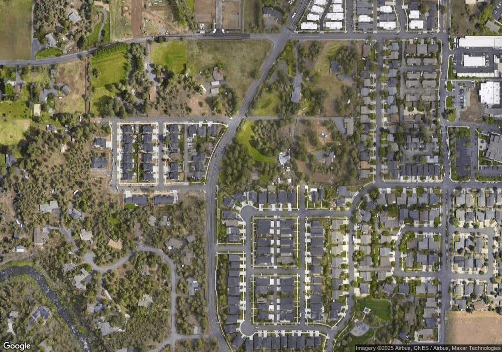
Map
Nearby Homes
- 63307 NW Ob Riley Rd
- 63341 NW Lavacrest St
- 20211 Glen Vista Rd
- 20298 Poe Sholes Dr
- 63147 NW Vista Meadow Ln
- 63169 NW Via Cambria
- 4219 NW Lower Village Rd
- 20261 Ellie Ln
- 20269 Schaeffer Dr
- 3650 N Hwy 97
- 900 NW Chelsea Loop
- 63143 Beaufort Ct
- 63117 De Haviland Ct
- 20160 Cooley Rd
- 63131 NE De Haviland St
- 63221 Boyd Acres Rd
- 1122 NW Foxwood
- 3429 NW Bryce Canyon Ln
- 20514 NE Empire Ave
- 20570 Fred Meyers Rd
- 20216 Brumby Ln
- 20220 Brumby Ln
- 20212 Brumby Ln
- 20224 Brumby Ln
- 20228 NW Brumby Ln
- 63297 Newhall Place
- 20228 Brumby Ln
- 0 NW Brumby Ln
- 20232 Brumby Ln
- 63293 Newhall Place
- 63290 Newhall Place
- 63301 O B Riley Rd
- 63289 Newhall Place
- 63286 Newhall Place
- 63285 NW Newhall Place
- 63307 O B Riley Rd
- 63313 NW Ob Riley Rd
- 63285 NW Rossby St
- 63313 O B Riley Rd
- 20177 Roper Ln