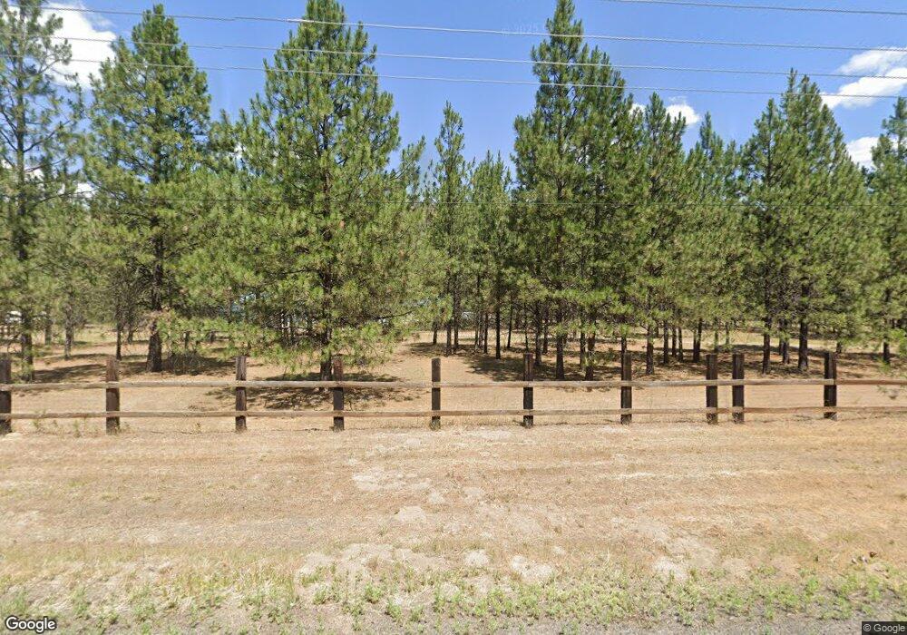
6332 Highway 291 Nine Mile Falls, WA 99026
Estimated Value: $382,000 - $496,666
3
Beds
2
Baths
4,490
Sq Ft
$98/Sq Ft
Est. Value
About This Home
This home is located at 6332 Highway 291, Nine Mile Falls, WA 99026 and is currently estimated at $439,917, approximately $97 per square foot. 6332 Highway 291 is a home located in Stevens County with nearby schools including Lakeside High School.
Ownership History
Date
Name
Owned For
Owner Type
Purchase Details
Closed on
Dec 13, 2024
Sold by
Johnson Mark Neal and Ward Gerald M
Bought by
Luce Corinna and Page Ken
Current Estimated Value
Home Financials for this Owner
Home Financials are based on the most recent Mortgage that was taken out on this home.
Original Mortgage
$407,000
Outstanding Balance
$403,756
Interest Rate
6.72%
Mortgage Type
FHA
Estimated Equity
$36,161
Create a Home Valuation Report for This Property
The Home Valuation Report is an in-depth analysis detailing your home's value as well as a comparison with similar homes in the area
Home Values in the Area
Average Home Value in this Area
Purchase History
| Date | Buyer | Sale Price | Title Company |
|---|---|---|---|
| Luce Corinna | $425,000 | Wfg National Title | |
| Luce Corinna | $425,000 | Wfg National Title |
Source: Public Records
Mortgage History
| Date | Status | Borrower | Loan Amount |
|---|---|---|---|
| Open | Luce Corinna | $407,000 | |
| Closed | Luce Corinna | $407,000 |
Source: Public Records
Tax History Compared to Growth
Tax History
| Year | Tax Paid | Tax Assessment Tax Assessment Total Assessment is a certain percentage of the fair market value that is determined by local assessors to be the total taxable value of land and additions on the property. | Land | Improvement |
|---|---|---|---|---|
| 2024 | $3,318 | $359,946 | $33,600 | $326,346 |
| 2023 | $3,221 | $362,223 | $33,600 | $328,623 |
| 2022 | $3,187 | $335,855 | $33,600 | $302,255 |
| 2021 | $2,989 | $303,812 | $25,200 | $278,612 |
| 2020 | $3,364 | $303,812 | $25,200 | $278,612 |
| 2019 | $3,086 | $298,718 | $25,200 | $273,518 |
| 2018 | $3,347 | $255,472 | $25,200 | $230,272 |
| 2017 | $3,086 | $258,115 | $25,200 | $232,915 |
| 2016 | $2,689 | $258,115 | $25,200 | $232,915 |
| 2015 | $2,725 | $214,865 | $25,200 | $189,665 |
| 2013 | -- | $214,865 | $25,200 | $189,665 |
Source: Public Records
Map
Nearby Homes
- 6520 B Pine Ridge Way
- 6299 Sundown Rd
- 6520 Pine Ridge Way
- 6601 Stony Way
- 6399 Lakeview Dr
- 6471 Hilltop Dr
- 6456 N Villier Rd
- 6265 W Bluebird Way
- 6526 Summerlin Way
- 6563 Kate Dr
- 6558 Kate Dr
- 6562 Kate Dr
- 6578 Kate Dr
- 6542 Kate Dr
- 6571 Kate Dr
- 6282 W Bluebird Way
- 6437 N Dover Rd
- 6712 Washington 291
- 6340 Jenna Ct
- 5885 Sandy Court Way
- 6320 Highway 291
- 6320 Highway 291
- 6318 Washington 291
- 6346 Highway 291
- 6346 Highway 291
- 6318 Highway 291
- 6318 A Hwy 291
- 6346 Washington 291
- 6325 Highway 291
- 6350 Washington 291
- 6315 Rocky Pines Way
- 6321 Rocky Pines Way
- 6560 Pine Ridge Way
- 6296 Sundown Dr
- 6352 Highway 291
- kna Pine Ridge Way
- 6356 Dale West Way
- 6356 Dale West Way
- 000 Pine Ridge (Tbd) Way
- 6298 Washington 291