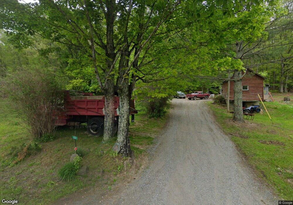
6332 Muddy Run Rd Burnsville, VA 24487
Estimated Value: $227,764 - $288,000
3
Beds
1
Bath
1,056
Sq Ft
$249/Sq Ft
Est. Value
About This Home
This home is located at 6332 Muddy Run Rd, Burnsville, VA 24487 and is currently estimated at $263,441, approximately $249 per square foot. 6332 Muddy Run Rd is a home located in Bath County with nearby schools including Bath County High School.
Create a Home Valuation Report for This Property
The Home Valuation Report is an in-depth analysis detailing your home's value as well as a comparison with similar homes in the area
Home Values in the Area
Average Home Value in this Area
Tax History Compared to Growth
Tax History
| Year | Tax Paid | Tax Assessment Tax Assessment Total Assessment is a certain percentage of the fair market value that is determined by local assessors to be the total taxable value of land and additions on the property. | Land | Improvement |
|---|---|---|---|---|
| 2024 | $879 | $146,500 | $31,700 | $114,800 |
| 2023 | $879 | $146,500 | $31,700 | $114,800 |
| 2022 | $806 | $146,500 | $31,700 | $114,800 |
| 2021 | $766 | $139,200 | $29,200 | $110,000 |
| 2020 | $766 | $139,200 | $29,200 | $110,000 |
| 2019 | $696 | $139,200 | $29,200 | $110,000 |
| 2018 | $696 | $139,200 | $29,200 | $110,000 |
| 2017 | $696 | $139,200 | $29,200 | $110,000 |
| 2016 | -- | $116,500 | $28,400 | $88,100 |
| 2015 | -- | $0 | $0 | $0 |
Source: Public Records
Map
Nearby Homes
- 7304 Dry Run Rd
- tbd Westminster Rd
- 19052 Sam Sneah Hwy
- 19052 Sam Snead Hwy
- 83 Pheasanty Hollow Rd
- 13334 Tower Hill Rd
- 13911 Tower Hill Rd
- TBD 2 Ccc Rd
- 5871 Big Valley Rd
- 1121 Little Egypt Rd
- 737 Little Egypt Rd
- 11611 Cowpasture River Rd S
- 7305 Big Back Creek Rd
- 0 Whip Poor Will Hollow Rd Unit 139479
- TBD Lower Back Creek Rd
- 12509 Sam Snead Hwy
- tbd Sam Snead Hwy
- tbd Caddis Ln
- 11 Bee Town Rd
- 354 Cassidy Ln