6332 Rock Springs Rd Harrison, AR 72601
Estimated Value: $664,241 - $801,000
--
Bed
1
Bath
2,521
Sq Ft
$281/Sq Ft
Est. Value
About This Home
This home is located at 6332 Rock Springs Rd, Harrison, AR 72601 and is currently estimated at $707,810, approximately $280 per square foot. 6332 Rock Springs Rd is a home located in Boone County with nearby schools including Skyline Heights Elementary School and Harrison Jr. High School.
Ownership History
Date
Name
Owned For
Owner Type
Purchase Details
Closed on
Sep 17, 2010
Sold by
Mcafee Eldon D and Mcafee Naomi F
Bought by
Ronald R And Judy K Mcafee Living Trust
Current Estimated Value
Home Financials for this Owner
Home Financials are based on the most recent Mortgage that was taken out on this home.
Original Mortgage
$156,000
Interest Rate
4.46%
Mortgage Type
New Conventional
Create a Home Valuation Report for This Property
The Home Valuation Report is an in-depth analysis detailing your home's value as well as a comparison with similar homes in the area
Home Values in the Area
Average Home Value in this Area
Purchase History
| Date | Buyer | Sale Price | Title Company |
|---|---|---|---|
| Ronald R And Judy K Mcafee Living Trust | $195,000 | -- |
Source: Public Records
Mortgage History
| Date | Status | Borrower | Loan Amount |
|---|---|---|---|
| Closed | Ronald R And Judy K Mcafee Living Trust | $156,000 |
Source: Public Records
Tax History Compared to Growth
Tax History
| Year | Tax Paid | Tax Assessment Tax Assessment Total Assessment is a certain percentage of the fair market value that is determined by local assessors to be the total taxable value of land and additions on the property. | Land | Improvement |
|---|---|---|---|---|
| 2025 | $3,421 | $76,363 | $2,963 | $73,400 |
| 2024 | $3,423 | $76,410 | $3,010 | $73,400 |
| 2023 | $3,358 | $76,410 | $3,010 | $73,400 |
| 2022 | $2,887 | $76,410 | $3,010 | $73,400 |
| 2021 | $2,745 | $76,410 | $3,010 | $73,400 |
| 2020 | $2,633 | $66,340 | $2,940 | $63,400 |
| 2019 | $2,644 | $66,340 | $2,940 | $63,400 |
| 2018 | $2,660 | $66,340 | $2,940 | $63,400 |
| 2017 | $2,525 | $66,340 | $2,940 | $63,400 |
| 2016 | $2,525 | $63,380 | $2,940 | $60,440 |
| 2015 | $2,700 | $60,270 | $2,440 | $57,830 |
| 2014 | $2,351 | $60,270 | $2,440 | $57,830 |
Source: Public Records
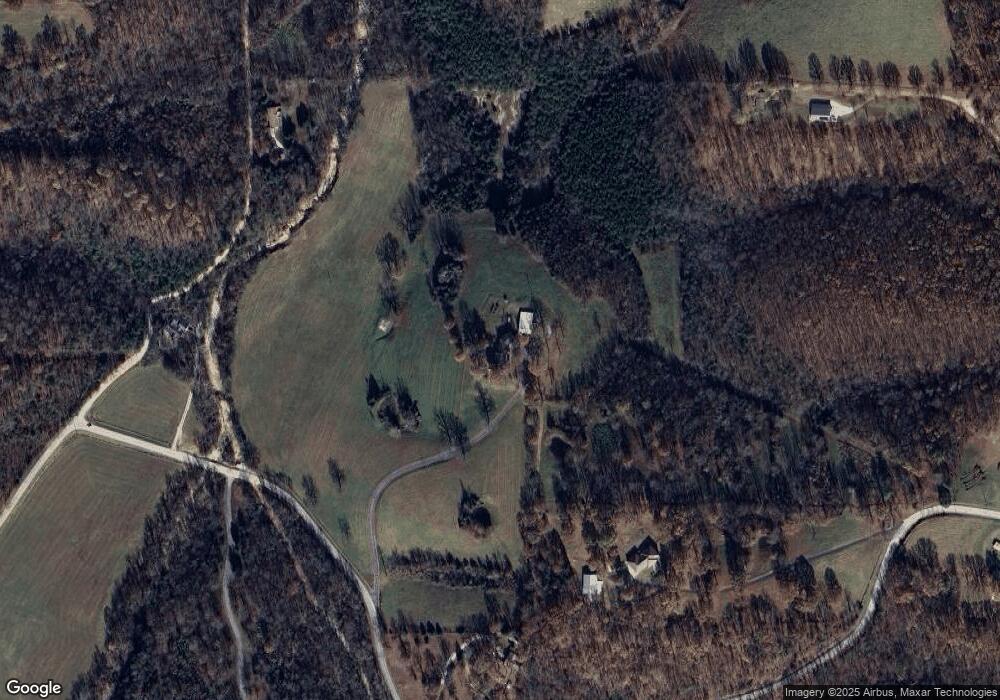
Map
Nearby Homes
- 1567 Goff (Lot 28) Rd
- 1669 Goff (Lot 27) Rd
- 1739 Goff (Lot 26) Rd
- 1959 Henley (Lot 3) Dr
- Lot 1 Rains Rd S
- Lot 2 Rains Rd S
- Lot 3 Hawkins Rd
- Lot 4 Hawkins Rd
- Lot 5 Hawkins Rd
- 0 Old Capps Rd
- 0 Corner of Airport Rd & Hwy 65n Unit 146774
- 350 Devitos Loop
- 2 Cresthaven Ave
- 1800 Airport Rd
- 5745 Estes Rd
- 3602 Shields Dr
- 900 Oriole Dr
- 2014 Cedar Ridge Rd
- 0 Gipson Rd
- 709 Gipson Rd
- 6332 W Rock Springs Rd
- 2430 Hawkins Rd
- 1089 Old Capps Rd
- 1201 Cox Ln
- 1070 Potters Dr Unit A
- 1070 Potters Dr
- 6498 Rock Springs Rd
- 6500 Rock Springs Rd W
- 6208 Rock Springs Rd
- 2402 Hawkins Rd
- 1568 Goff (Lot 25) Rd
- 1350 Cox Ln S
- 1384 Cox Ln
- 2331 Hawkins Rd
- 1349 Cox Ln
- 1668 Goff Rd
- 555 Dogwood Ct
- 0 Cox Ln S
- 1720 Goff Rd
- 2294 Hawkins Rd