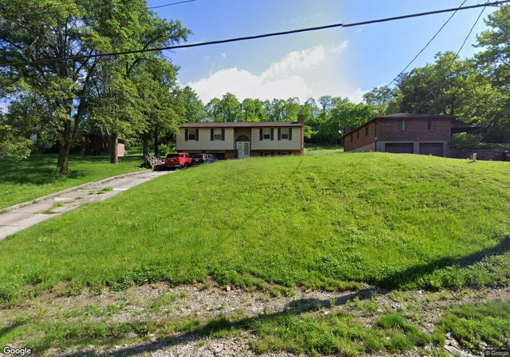
6332 Taylor Rd Cincinnati, OH 45248
Estimated Value: $235,000 - $276,000
3
Beds
2
Baths
1,708
Sq Ft
$148/Sq Ft
Est. Value
About This Home
This home is located at 6332 Taylor Rd, Cincinnati, OH 45248 and is currently estimated at $253,461, approximately $148 per square foot. 6332 Taylor Rd is a home located in Hamilton County with nearby schools including John Foster Dulles Elementary School, Rapid Run Middle School, and Oak Hills High School.
Ownership History
Date
Name
Owned For
Owner Type
Purchase Details
Closed on
Jul 29, 1993
Sold by
Keller Sandra A
Bought by
Nordman Michael L
Current Estimated Value
Create a Home Valuation Report for This Property
The Home Valuation Report is an in-depth analysis detailing your home's value as well as a comparison with similar homes in the area
Home Values in the Area
Average Home Value in this Area
Purchase History
| Date | Buyer | Sale Price | Title Company |
|---|---|---|---|
| Nordman Michael L | $96,300 | -- |
Source: Public Records
Tax History
| Year | Tax Paid | Tax Assessment Tax Assessment Total Assessment is a certain percentage of the fair market value that is determined by local assessors to be the total taxable value of land and additions on the property. | Land | Improvement |
|---|---|---|---|---|
| 2025 | $3,055 | $58,548 | $14,126 | $44,422 |
| 2024 | $2,980 | $58,548 | $14,126 | $44,422 |
| 2023 | $2,983 | $58,548 | $14,126 | $44,422 |
| 2022 | $2,553 | $42,466 | $13,762 | $28,704 |
| 2021 | $2,294 | $42,466 | $13,762 | $28,704 |
| 2020 | $2,323 | $42,466 | $13,762 | $28,704 |
| 2019 | $2,274 | $37,916 | $12,289 | $25,627 |
| 2018 | $2,278 | $37,916 | $12,289 | $25,627 |
| 2017 | $2,147 | $37,916 | $12,289 | $25,627 |
| 2016 | $1,977 | $34,857 | $11,673 | $23,184 |
| 2015 | $1,994 | $34,857 | $11,673 | $23,184 |
| 2014 | $1,997 | $34,857 | $11,673 | $23,184 |
| 2013 | $1,965 | $36,695 | $12,289 | $24,406 |
Source: Public Records
Map
Nearby Homes
- 3866 Springoak Dr
- 6214 Berauer Rd
- 2 Ebenezer Rd
- 6684 Powner Farm Dr
- 6560 Springmyer Dr
- 1 Hutchinson Rd
- 4181 Hutchinson Rd
- 5775 Irwin Dr
- 3589 Eyrich Rd
- 6233 Sharlene Dr
- 3433 Tolland Ct
- 3570 Eyrich Rd
- 5961 Lawrence Rd
- 3986 Trailside Dr
- 3105 Laurel Hill Ln
- 3108 Laurel Hill Ln
- 3994 Trailside Dr
- 4008 Trailside Dr
- 3454 Eyrich Rd
- 4483 Ebenezer Rd
- 6326 Taylor Rd
- 6340 Taylor Rd
- 6300 Taylor Rd
- 6350 Taylor Rd
- 6298 Taylor Rd
- 6321 Taylor Rd
- 6358 Taylor Rd
- 6349 Taylor Rd
- 6315 Taylor Rd
- 6315 Taylor Rd Unit 17
- 6366 Taylor Rd
- 6296 Taylor Rd
- 6359 Taylor Rd
- 6369 Taylor Rd
- 6383 Starvue Dr
- 6375 Starvue Dr
- 6378 Taylor Rd
- 6398 Suehaven Ct
- 6284 Taylor Rd
- 6365 Starvue Dr
Your Personal Tour Guide
Ask me questions while you tour the home.