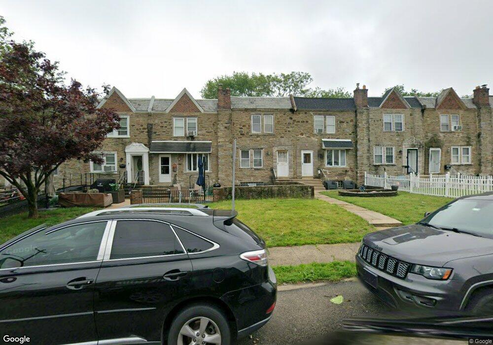
6333 Large St Philadelphia, PA 19149
Castor Gardens NeighborhoodEstimated Value: $195,000 - $225,000
3
Beds
1
Bath
1,222
Sq Ft
$175/Sq Ft
Est. Value
About This Home
This home is located at 6333 Large St, Philadelphia, PA 19149 and is currently estimated at $213,424, approximately $174 per square foot. 6333 Large St is a home located in Philadelphia County with nearby schools including Gilbert Spruance School, Northeast High School, and St Martin Of Tours Catholic School.
Ownership History
Date
Name
Owned For
Owner Type
Purchase Details
Closed on
Feb 6, 2013
Sold by
H & K Investment Llc
Bought by
Liang Richard
Current Estimated Value
Purchase Details
Closed on
Apr 11, 2012
Sold by
Liang Ying L and Liang Wen Jian
Bought by
H & K Investment Llc
Purchase Details
Closed on
Apr 21, 2006
Sold by
Liang Li Kai
Bought by
Liang Ying L
Purchase Details
Closed on
Sep 21, 1995
Sold by
Brogden Joseph S and Brogden Lucy
Bought by
Liang Li Kai
Create a Home Valuation Report for This Property
The Home Valuation Report is an in-depth analysis detailing your home's value as well as a comparison with similar homes in the area
Home Values in the Area
Average Home Value in this Area
Purchase History
| Date | Buyer | Sale Price | Title Company |
|---|---|---|---|
| Liang Richard | $25,000 | None Available | |
| H & K Investment Llc | $25,000 | None Available | |
| Liang Ying L | -- | None Available | |
| Liang Li Kai | $62,000 | -- |
Source: Public Records
Tax History Compared to Growth
Tax History
| Year | Tax Paid | Tax Assessment Tax Assessment Total Assessment is a certain percentage of the fair market value that is determined by local assessors to be the total taxable value of land and additions on the property. | Land | Improvement |
|---|---|---|---|---|
| 2026 | $2,461 | $216,700 | $43,340 | $173,360 |
| 2025 | $2,461 | $216,700 | $43,340 | $173,360 |
| 2024 | $2,461 | $216,700 | $43,340 | $173,360 |
| 2023 | $2,461 | $175,800 | $35,160 | $140,640 |
| 2022 | $1,130 | $130,800 | $35,160 | $95,640 |
| 2021 | $1,760 | $0 | $0 | $0 |
| 2020 | $1,760 | $0 | $0 | $0 |
| 2019 | $1,688 | $0 | $0 | $0 |
| 2018 | $1,274 | $0 | $0 | $0 |
| 2017 | $1,694 | $0 | $0 | $0 |
| 2016 | $1,694 | $0 | $0 | $0 |
| 2015 | $1,621 | $0 | $0 | $0 |
| 2014 | -- | $121,000 | $28,706 | $92,294 |
| 2012 | -- | $15,136 | $2,790 | $12,346 |
Source: Public Records
Map
Nearby Homes
- 1427 Robbins Ave
- 1440 Robbins Ave
- 1453 Mckinley St
- 1500 Hellerman St
- 1530 Hellerman St
- 6239 Castor Ave
- 2001R Mckinley St
- 1414 Mckinley St
- 1535 Hellerman St
- 1531 Stevens St
- 1417 Stevens St
- 6135 Castor Ave
- 1551 Lardner St
- 1548 Lardner St
- 1507 Benner St
- 6111 Castor Ave
- 1439 Gilham St
- 1439 Higbee St
- 1409 Greeby St
- 1238 Elbridge St